MyTopo
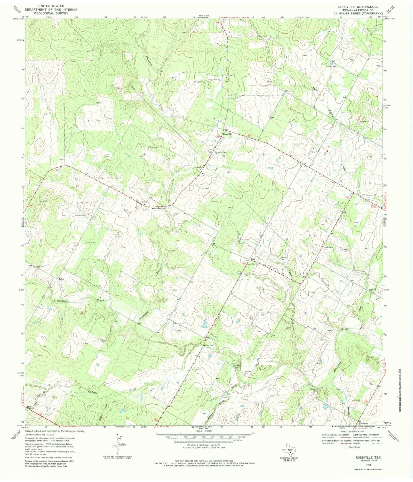
Classic USGS Rossville Texas 7.5'x7.5' Topo Map
Couldn't load pickup availability
Historical USGS topographic quad map of Rossville in the state of Texas. Map scale may vary for some years, but is generally around 1:24,000. Print size is approximately 24" x 27"
This quadrangle is in the following counties: Atascosa.
The map contains contour lines, roads, rivers, towns, and lakes. Printed on high-quality waterproof paper with UV fade-resistant inks, and shipped rolled.
Contains the following named places: Alvarado Cemetery, Anchorage, Brite Cemetery, Brown Cemetery, Fern Hollow, Flores Cemetery, Garcia Cemetery, Grosco Cemetery, Iuka, Jimenez Cemetery, Layer Cemetery, Lott Cemetery, Mile and a Half Creek, Padilla Creek, Palo Alto Creek, Poteet Division, Rossville, Rossville Cemetery, Santa Anna Creek, Siestedero Creek, Sue, Tank Hollow, Vanness Cemetery, Willow Creek, ZIP Code: 78065