MyTopo
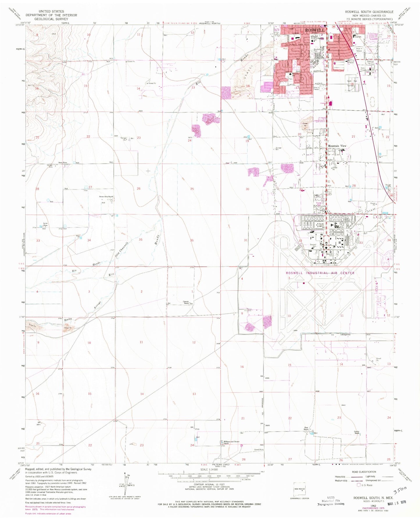
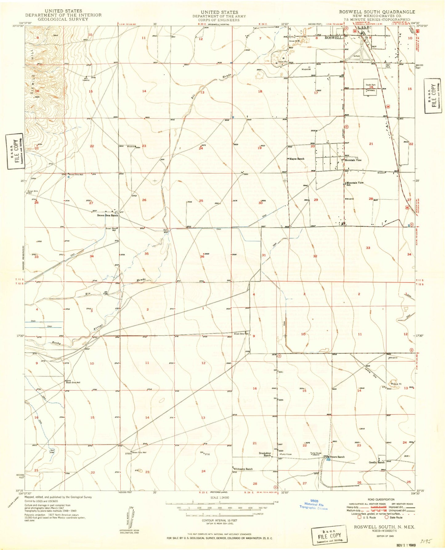
Classic USGS Roswell South New Mexico 7.5'x7.5' Topo Map
Couldn't load pickup availability
Historical USGS topographic quad map of Roswell South in the state of New Mexico. Map scale may vary for some years, but is generally around 1:24,000. Print size is approximately 24" x 27"
This quadrangle is in the following counties: Chaves.
The map contains contour lines, roads, rivers, towns, and lakes. Printed on high-quality waterproof paper with UV fade-resistant inks, and shipped rolled.
Contains the following named places: Brasher Pit, Brown Brothers Ranch, Carpenter Park, Casarez Ranch, Chaves County Pit, City of Roswell, Crusher Pit, Goodin Ranch, Hondo, Kerr Ranch, Lyles Farm, Memorial Hospital, Monterey School, Mountain View, Mullinix Pit, New Mexico Rehabilitation Center, Pecos School, Rocky Arroyo, Roswell Army Air Field, Roswell Ed Serv Center, Roswell Fire Department Station 4, Roswell Fire Department Station 5, Roswell Industrial Air Center, Roswell International Air Center, Roswell Ready Mix Pit, Sacra Farm, Sierra Volunteer Fire Department Station 2, South Park Cemetery, Walker Air Force Base, Walker Post Office, Williams and Chesser Ranch


