MyTopo
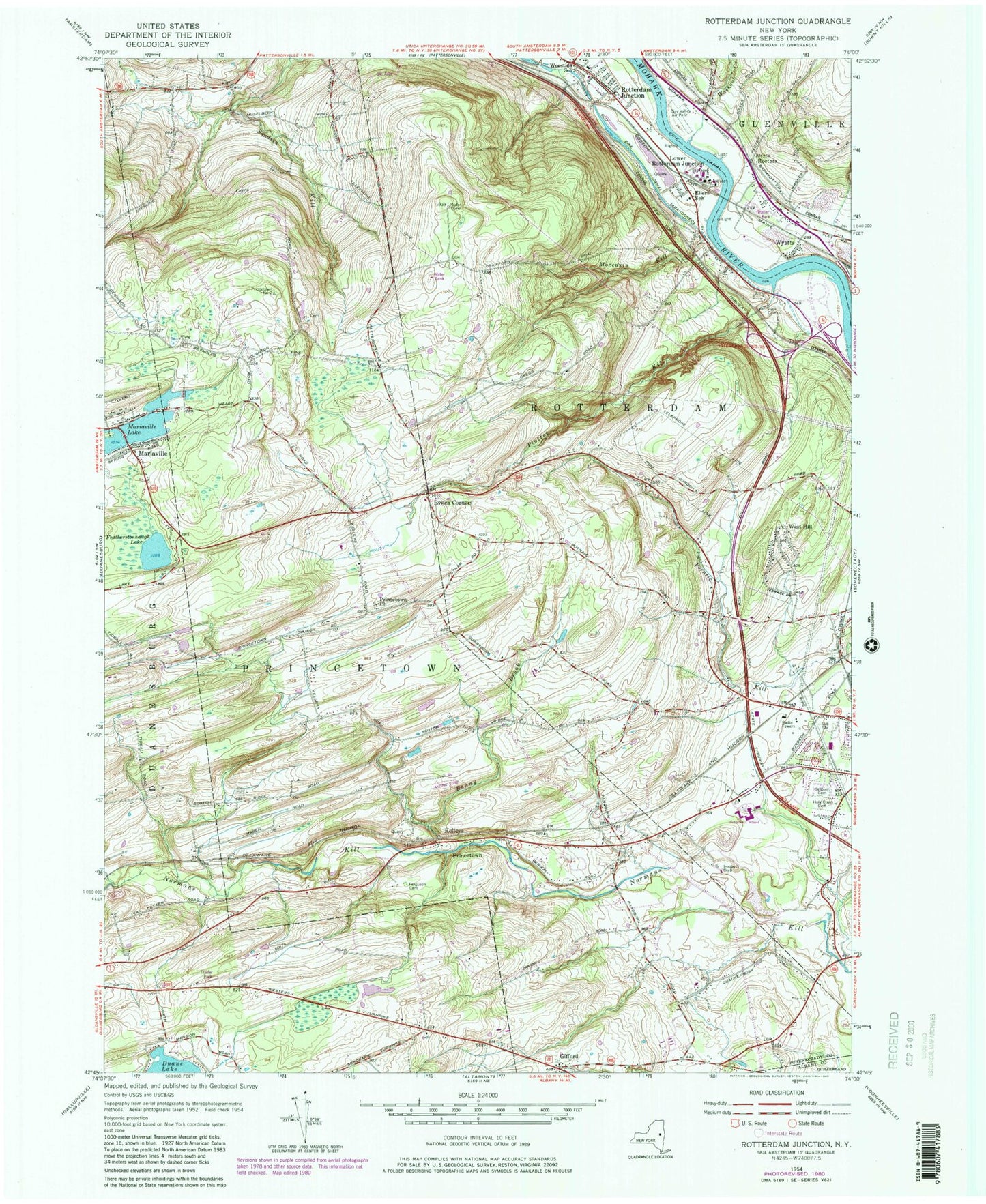
Classic USGS Rotterdam Junction New York 7.5'x7.5' Topo Map
Couldn't load pickup availability
Historical USGS topographic quad map of Rotterdam Junction in the state of New York. Typical map scale is 1:24,000, but may vary for certain years, if available. Print size: 24" x 27"
This quadrangle is in the following counties: Albany, Schenectady.
The map contains contour lines, roads, rivers, towns, and lakes. Printed on high-quality waterproof paper with UV fade-resistant inks, and shipped rolled.
Contains the following named places: Bonny Brook, Ellers School (historical), Featherstonhaugh Lake, Ferguson Cemetery, Gifford, Holy Cross Cemetery, Iroquois Club, Lower Rotterdam Junction, Moccasin Kill, Plotter Kill, Princetown, Princetown Church, Rabbit Hollow, Rectors, Rynex Corners, Saint Cyril and Method Cemetery, Van Slyck Cemetery, Washout Creek, West Hill, Rotterdam Junction, Woestina Elementary School, Wyatts, Kelleys, Schenectady County, WGY-AM (Schenectady), Mohawk Valley Airport (historical), Town of Princetown, Town of Rotterdam, Duane Lake, Duane Lake Census Designated Place, Schalmont Middle School, Schalmont High School, Princetown Reformed Church Cemetery, Princetown Reformed Church, Hillcrest Mobile Home Park, Duanesburg Rest Area, Rotterdam Rest Area, Briar Creek Golf Course, Christ Church of the Hills, Sonrise Bible Church, Kingdom Hall of Jehovahs Witnesses, Schenectady Seventh Day Adventist Church, Princetown Town Hall, Rotterdam Junction Post Office, Rotterdam Junction Fire District 1, Rectors Volunteer Fire District, Pine Grove Fire Department, Plotterkill Volunteer Fire Company


