MyTopo
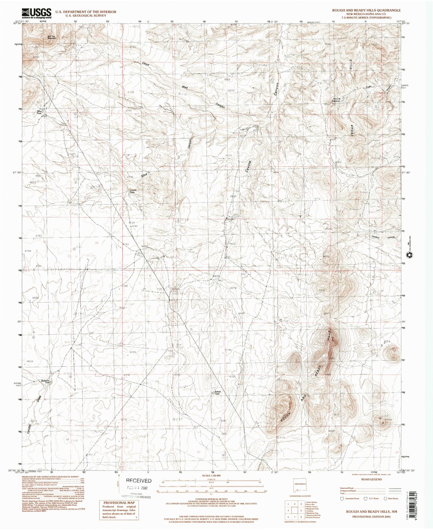
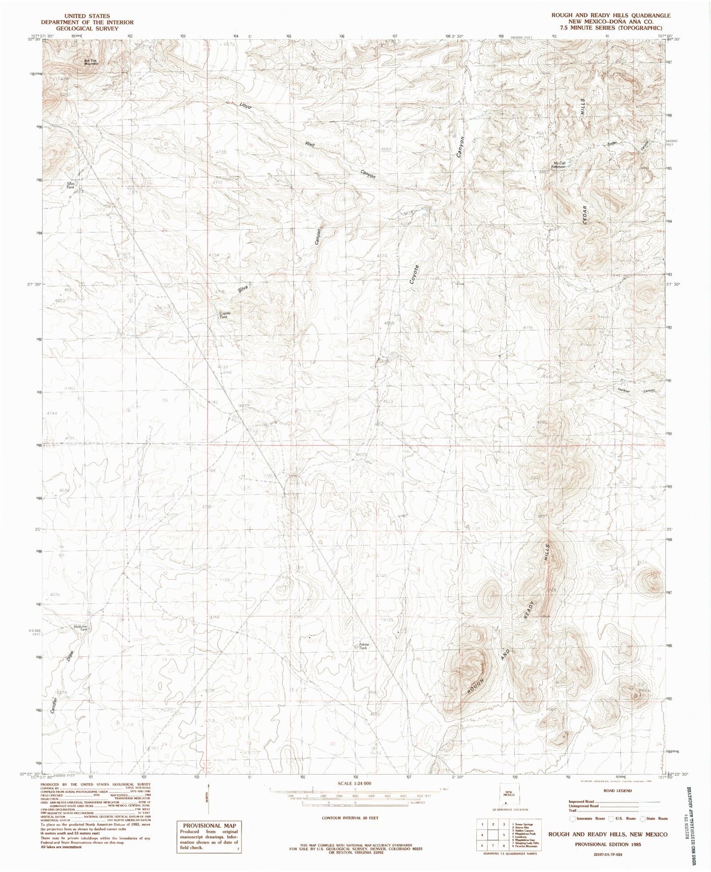
Classic USGS Rough and Ready Hills New Mexico 7.5'x7.5' Topo Map
Couldn't load pickup availability
Historical USGS topographic quad map of Rough and Ready Hills in the state of New Mexico. Map scale may vary for some years, but is generally around 1:24,000. Print size is approximately 24" x 27"
This quadrangle is in the following counties: Do��a Ana.
The map contains contour lines, roads, rivers, towns, and lakes. Printed on high-quality waterproof paper with UV fade-resistant inks, and shipped rolled.
Contains the following named places: Adobe Ranch, Adobe Ranch Water Well, Adobe Tank, Bell Top Mountain, Bill Shaw Tank, Cedar Hills, Coyote Tank, Las Uvas Number Five Dam, Las Uvas Number Four Dam, Las Uvas Number One Dam, Las Uvas Number Six Dam, Lloyd Well, Marijuana Tank, McCall Reservoir, NASA Luna Surveillance Station, Organ Mountains-Desert Peaks National Monument, Rough and Ready Hills, Silva Canyon, Silva Tank


