MyTopo
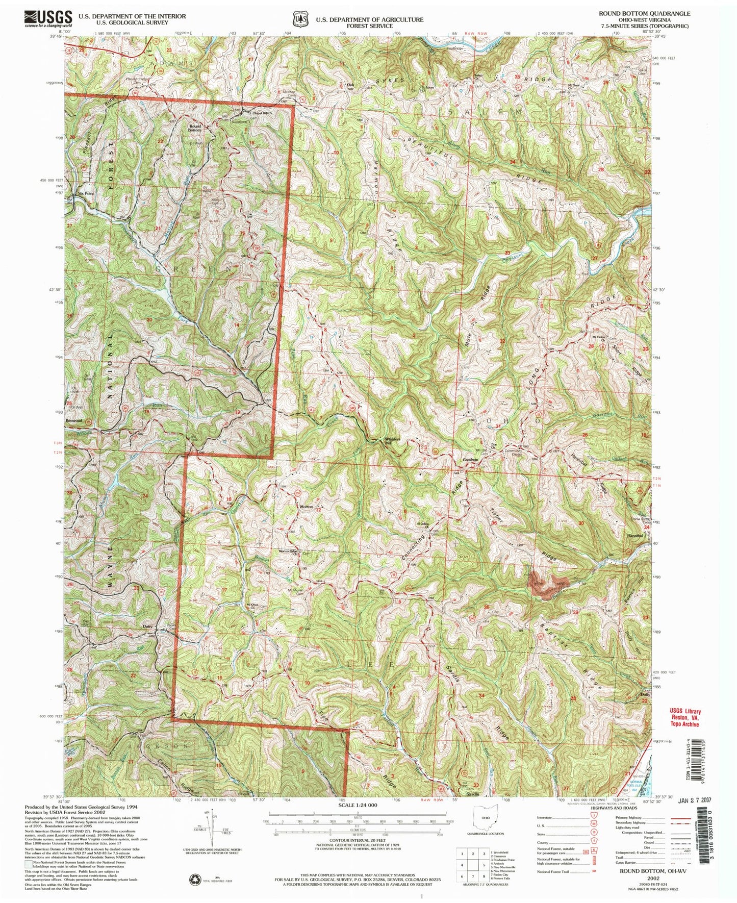
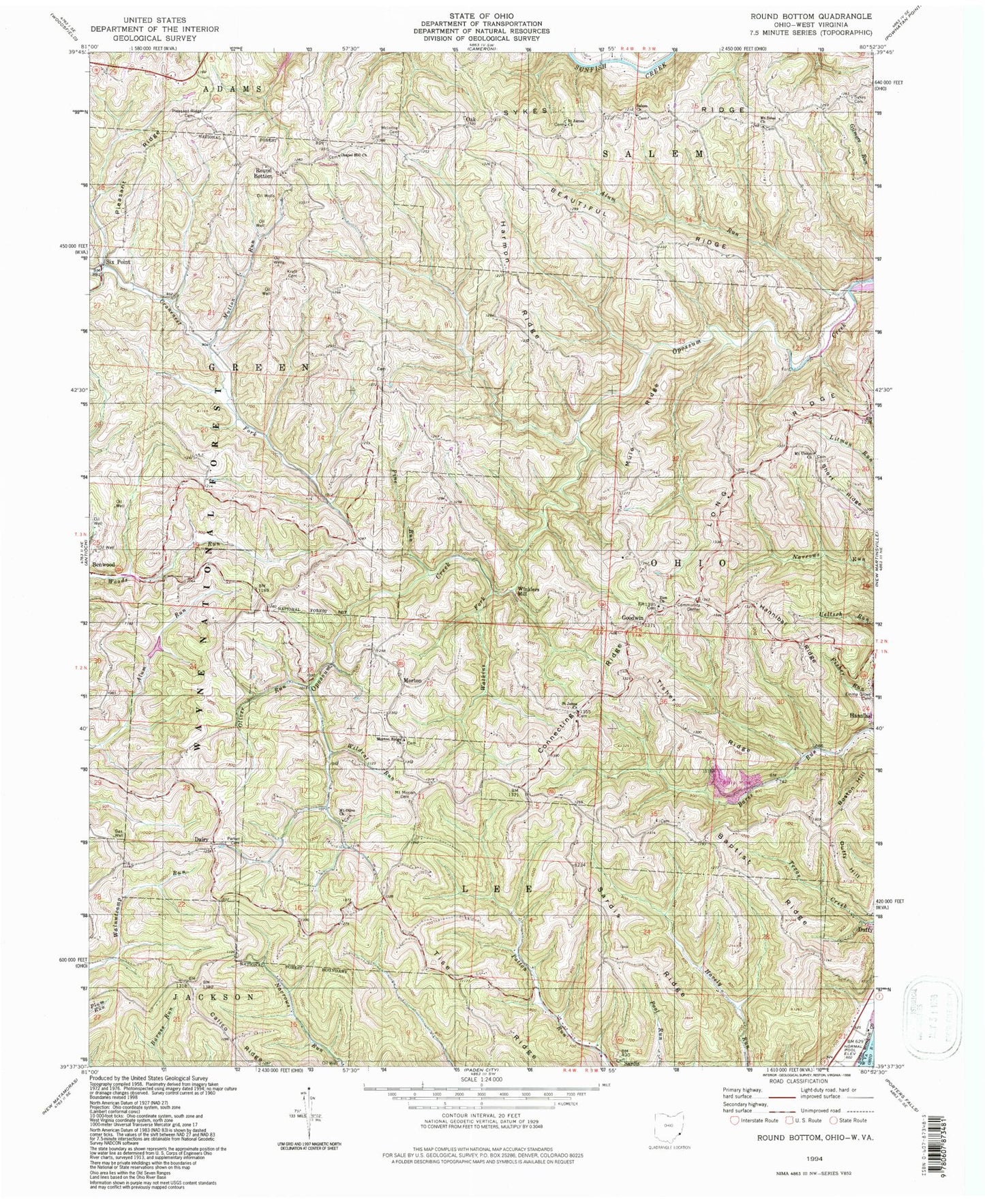
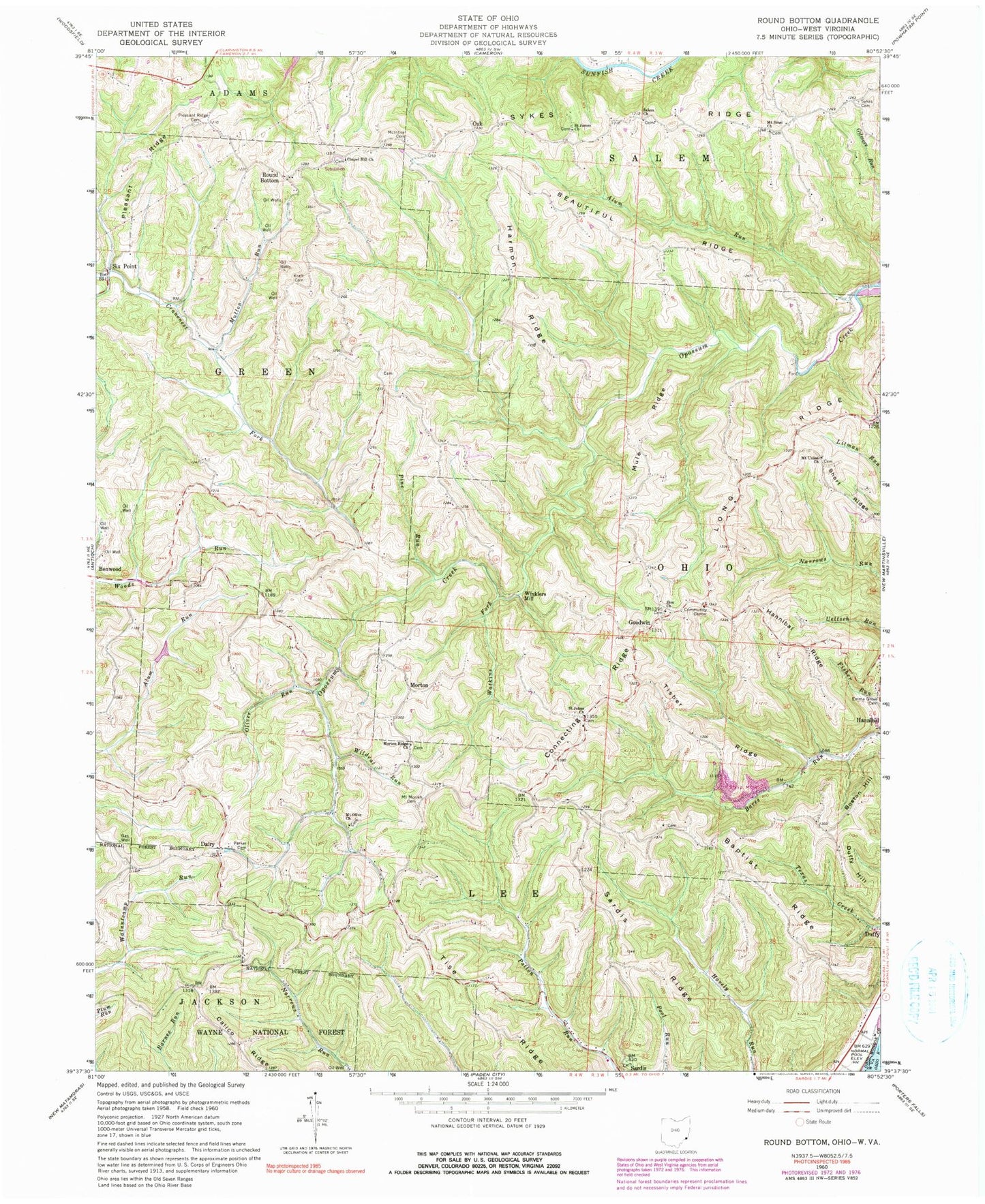
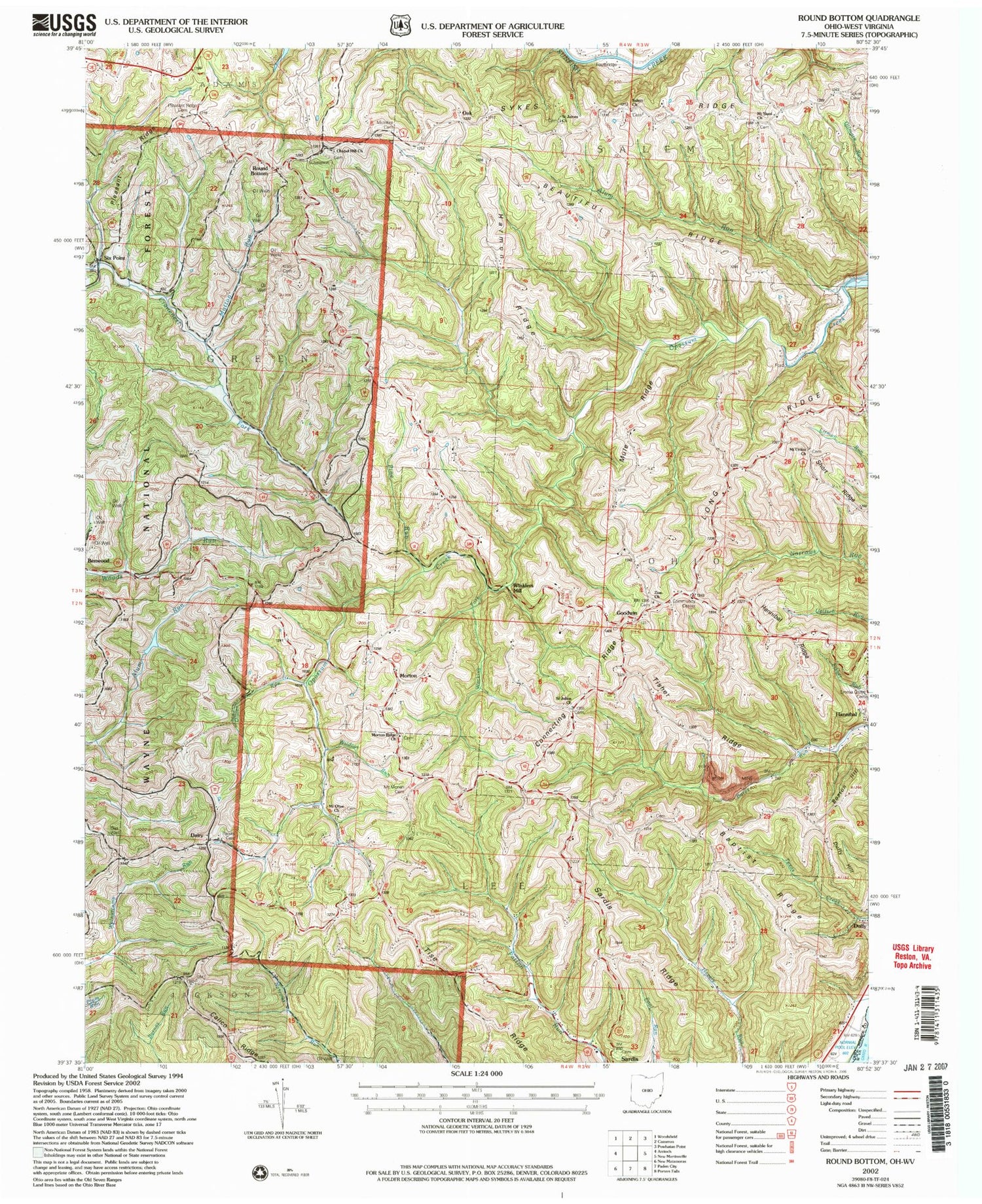
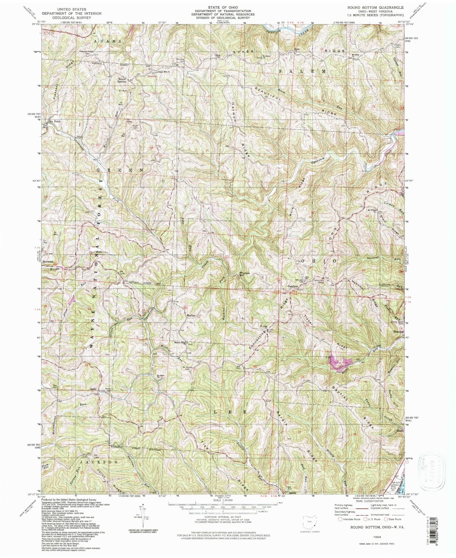
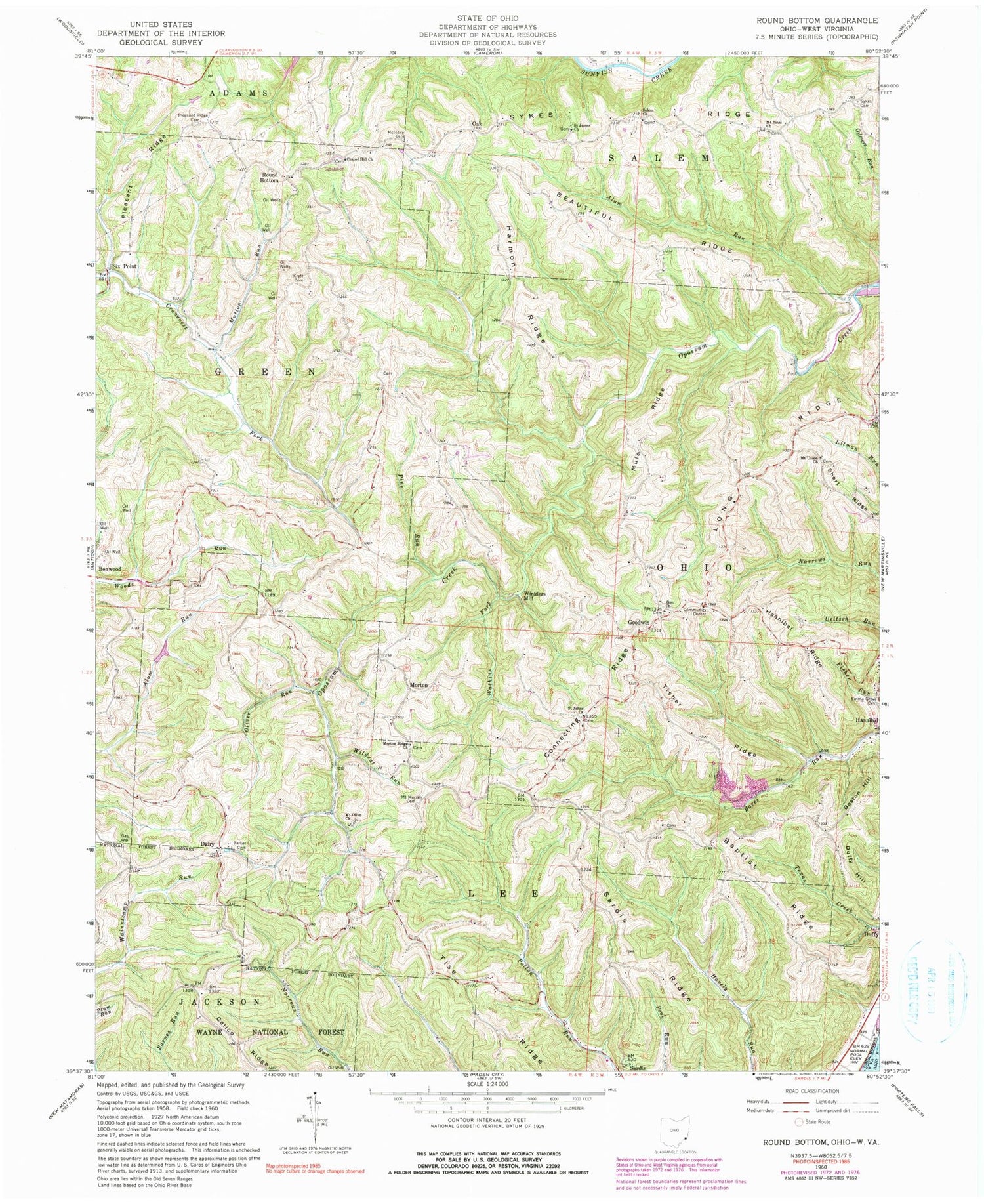
Classic USGS Round Bottom Ohio 7.5'x7.5' Topo Map
Couldn't load pickup availability
Historical USGS topographic quad map of Round Bottom in the states of Ohio, West Virginia. Map scale may vary for some years, but is generally around 1:24,000. Print size is approximately 24" x 27"
This quadrangle is in the following counties: Monroe, Wetzel.
The map contains contour lines, roads, rivers, towns, and lakes. Printed on high-quality waterproof paper with UV fade-resistant inks, and shipped rolled.
Contains the following named places: Alum Run, Baptist Ridge, Beautiful Ridge, Boston Hill, Calico Ridge, Chapel Hill Methodist Cemetery, Chapel Hill Methodist Church, Connecting Ridge, Dairy, Dairy Post Office, Duffy Hill, Emma Grove Cemetery, Fuchs Cemetery, Goodwin, Goodwin Post Office, Hannibal Ridge, Harmon Ridge, Kraft Cemetery, Lock Fifteen, Long Ridge, McEldowney Bar, McIntire Cemetery, Morton, Morton Post Office, Morton Ridge Church, Mount Moriah Cemetery, Mount Olive Cemetery, Mount Olive Church, Mount Sinai Methodist Cemetery, Mount Sinai Methodist Church, Mount Union Cemetery, Mount Union Church, Mount Zion Cemetery, Mule Ridge, Mutton Run, Oak, Oak Post Office, Oliver Run, Parker Cemetery, Pine Run, Pleasant Ridge, Pleasant Ridge Cemetery, Quarto Number Seven Slurry Impoundment Three Dam, Round Bottom, Saint James Lutheran Cemetery, Saint James Lutheran Church, Saint Johns Church, Saint Johns Methodist Cemetery, Salem Cemetery, Salem Church, Sardis Cemetery, Sardis Census Designated Place, Sardis Ridge, Short Ridge, Six Point, Slurry Impoundments 3 3a 3b, Sykes Cemetery, Sykes Ridge, Tise Ridge, Tisher Ridge, Township of Lee, Township of Ohio, Tubaugh Lake, Tubaugh Lake Dam, Watkins Fork, WATQ-FM (New Martinsville), Wildcat Run, Winklers Mill, ZIP Code: 43946
