MyTopo
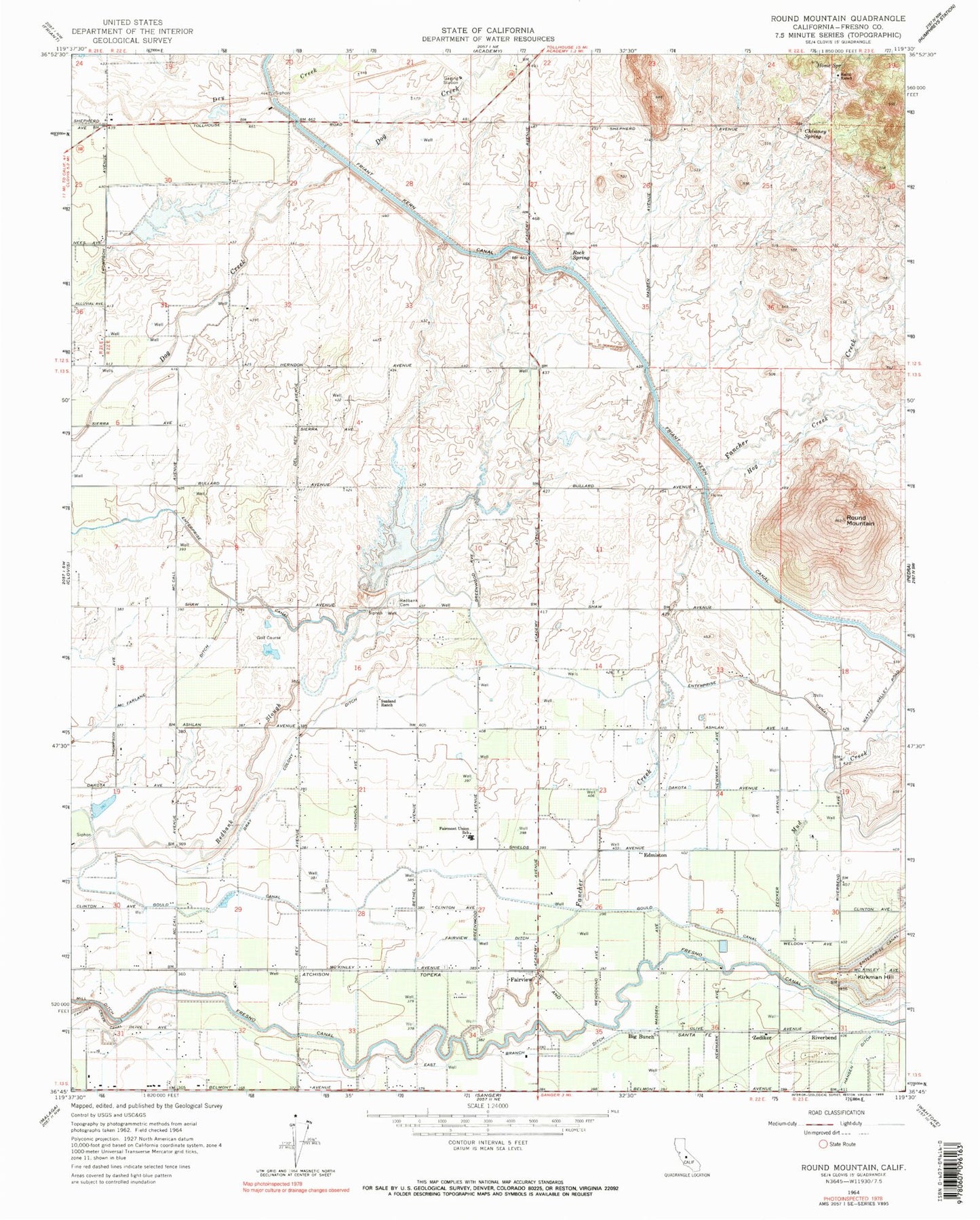
Classic USGS Round Mountain California 7.5'x7.5' Topo Map
Couldn't load pickup availability
Historical USGS topographic quad map of Round Mountain in the state of California. Map scale may vary for some years, but is generally around 1:24,000. Print size is approximately 24" x 27"
This quadrangle is in the following counties: Fresno.
The map contains contour lines, roads, rivers, towns, and lakes. Printed on high-quality waterproof paper with UV fade-resistant inks, and shipped rolled.
Contains the following named places: Baird Ranch, Baker Farm, Big Bunch, Blasinger Ranch, Blue Jay Ranch, Chimney Spring, Collins, Daddino's Egg Ranch, East Branch Ditch, Edmiston, Fairmont Elementary School, Fairview Ditch, Fairview School, Fancher Creek, Fancher Ranch, Fresno Canal, Fresno County Fire Protection District Clovis Lakes Station 86, Gould Canal, Gray Colony Ditch, Gray Colony School, Hansen Ditch, Hog Creek, Home Spring, Kindsvater Ranch Airport, KTHT-FM (Fresno), Lindsay School, McFarlane Ditch, McLaglen Ranch, Mud Creek, Redbank 1017 Dam, Redbank Cemetery, Redbank Ranch, Redbank School, Redbank Slough, Riverbend, Rock Spring, Round Mountain, Round Mountain School, Sanger Division, Sunland Ranch, Zediker