MyTopo
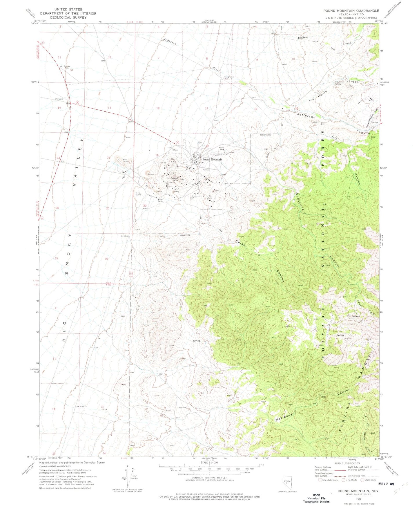
Classic USGS Round Mountain Nevada 7.5'x7.5' Topo Map
Couldn't load pickup availability
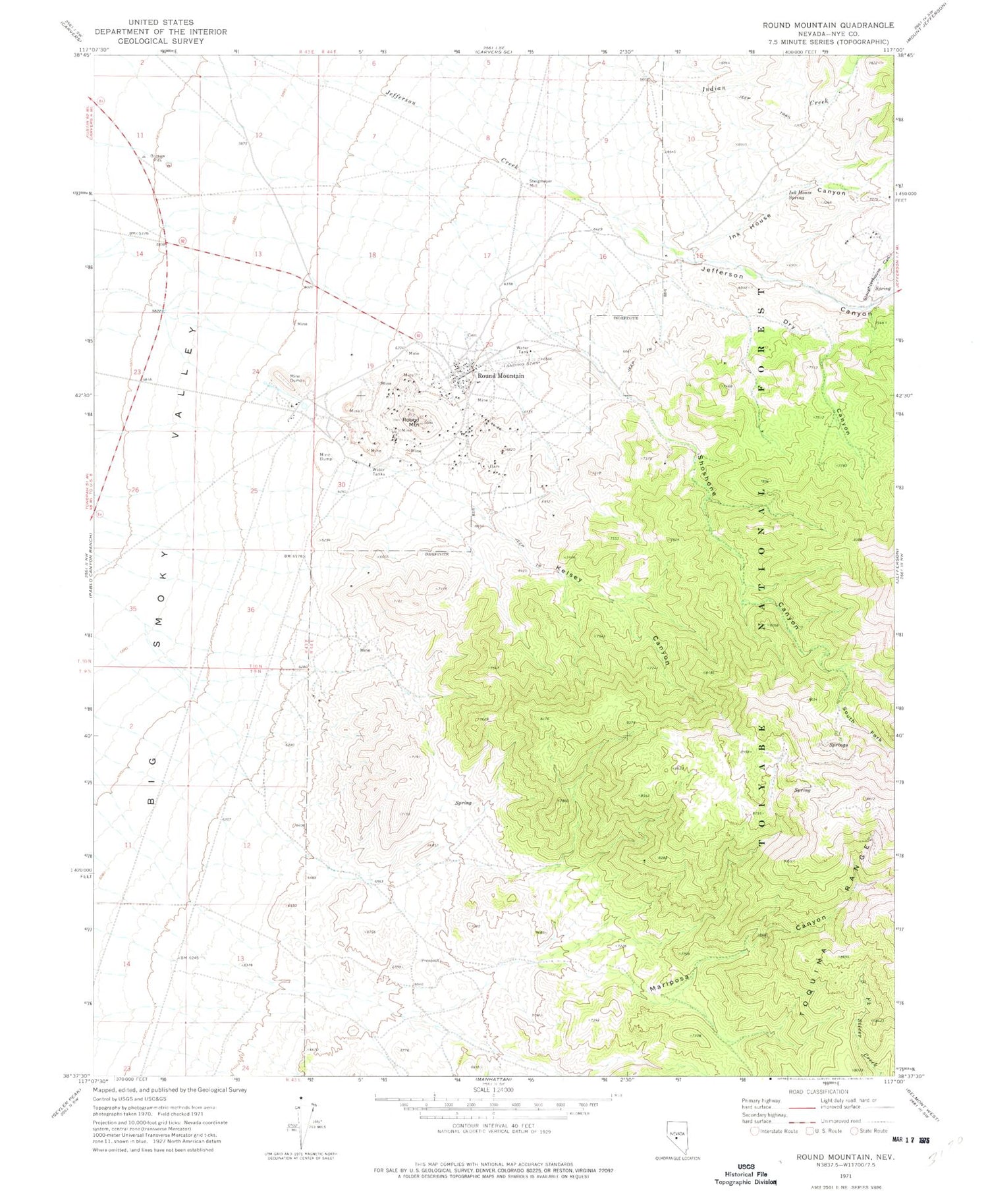
Historical USGS topographic quad map of Round Mountain in the state of Nevada. Map scale may vary for some years, but is generally around 1:24,000. Print size is approximately 24" x 27"
This quadrangle is in the following counties: Nye.
The map contains contour lines, roads, rivers, towns, and lakes. Printed on high-quality waterproof paper with UV fade-resistant inks, and shipped rolled.
Contains the following named places: Captured Canyon, Dry Canyon, Fairview Mine, Gordon Shaft, Great Western Tunnel, Ink House Canyon, Ink House Spring, Jefferson Canyon, Kelsey Canyon, Little Dry Canyon, Mariposa Canyon, Mariposa Creek, Number Four Shaft, Number Two Shaft, Rattlesnake Shaft, Red Bird Mill, Red Bird Mine, Round Mountain, Round Mountain Elementary School, Round Mountain Gold Mine Emergency Services, Round Mountain Jr/Sr High School, Round Mountain Mining District, Says Ranch, Senator Mine, Shamrock Mine, Shoshone, Shoshone Canyon, Slaughterhouse Canyon, Smoky Valley Mine Landing Strip, South Fork Shoshone Canyon, South Fork Shoshone Creek, Sphinx Glory Hole, Stebbins Mill, Steigmeyer Mill, Sunnyside Shaft, Wilson Shaft


