MyTopo
Classic USGS Round O South Carolina 7.5'x7.5' Topo Map
Couldn't load pickup availability
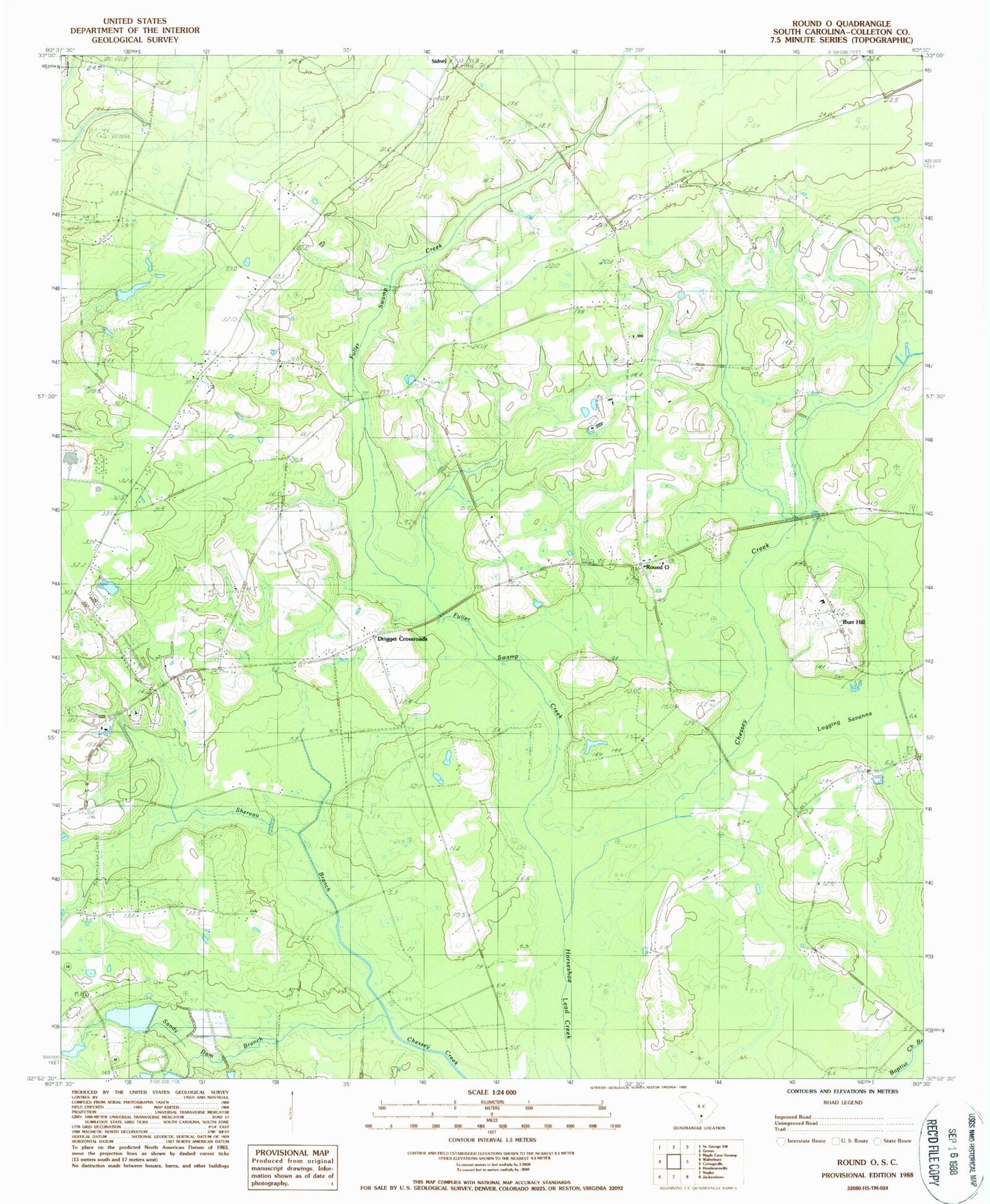
Historical USGS topographic quad map of Round O in the state of South Carolina. Map scale may vary for some years, but is generally around 1:24,000. Print size is approximately 24" x 27"
This quadrangle is in the following counties: Colleton.
The map contains contour lines, roads, rivers, towns, and lakes. Printed on high-quality waterproof paper with UV fade-resistant inks, and shipped rolled.
Contains the following named places: Allen Creek, Bedons Baptist Church, Bedons School, Bethel Church, Bethlehem Church, Bethlehem School, Burr Hill, Burr Hill School, Calvary Church, Canaan Church, Davis Hill, Drigger Crossroads, Fishbourne Reservoir D-2386 Dam, Fishburne Plantation, Fuller School, Fuller Swamp Creek, Hall School, Hiotts, Holiness Tabernacle Church, Koger School, Lake Lucious, Little Rock School, Mount Sina Church, Northside Elementary School, Old Bethel School, Peoples Church, Peoples School, Reservoir Pond, Round O, Round O Post Office, Sandy Dam Church, Shereau Branch, Sidney, Snipe School, South Carolina Noname 15007 D-2384 Dam, South Carolina Noname 15008 D-2385 Dam, Welch Green School, Wesley Church, Wesley School, ZIP Code: 29474