MyTopo
Classic USGS Round Top Texas 7.5'x7.5' Topo Map
Couldn't load pickup availability
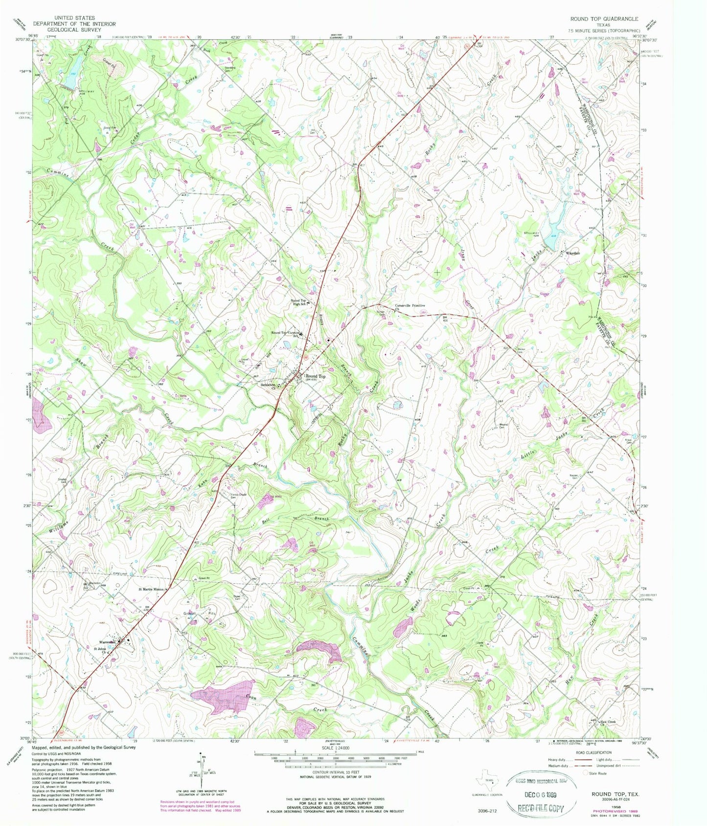
Historical USGS topographic quad map of Round Top in the state of Texas. Map scale may vary for some years, but is generally around 1:24,000. Print size is approximately 24" x 27"
This quadrangle is in the following counties: Fayette, Washington.
The map contains contour lines, roads, rivers, towns, and lakes. Printed on high-quality waterproof paper with UV fade-resistant inks, and shipped rolled.
Contains the following named places: Becker Cemetery, Bell Branch, Bethlehem Church, Bethlehem Lutheran Church, Boggy Branch, Buck Creek, Cedar Creek, Coon Creek, Cornerville Primitive Church, Cummins Creek Bridge, Dam Number 15, Drawe Cemetery, El Paisano Airport, Flat Creek, Florida Chapel Cemetery, Haw Creek, Haw Creek Church, Hill Cemetery, Jacks Creek, Jenny Creek, Knutzen Lake, Knutzen Lake Dam, Kraus Cemetery, Kuhn Branch, Little Jacks Creek, Nassau Cemetery, Richardson Public Library, Richter Cemetery, Ridgewood Branch Library, Rocky Creek, Round Top, Round Top - Warrenton Volunteer Fire Department, Round Top Elementary School, Round Top High School, Round Top Post Office, Round Top-Carmine School, Saint Johns Church, Saint Martin Mission, Shaw Creek, Skyline Branch Library, Smalley Cemetery, Soil Conservation Service Site 11 Dam, Soil Conservation Service Site 11 Reservoir, Soil Conservation Service Site 15 Dam, Soil Conservation Service Site 15 Reservoir, Soil Conservation Service Site 17 Dam, Soil Conservation Service Site 17 Reservoir, Soil Conservation Service Site 19 Dam, Soil Conservation Service Site 19 Reservoir, Soil Conservation Service Site 6 Dam, Soil Conservation Service Site 6 Reservoir, Sternberg Cemetery, Texas Pioneer Arts Foundation, Town of Round Top, Walnut Creek Branch Library, Warrenton, West Rocky Creek, Weyand Cemetery, William Neese Senior Homestead, Williams Branch, Winedale, Winedale Inn Complex, Woods Creek, ZIP Code: 78954


