MyTopo
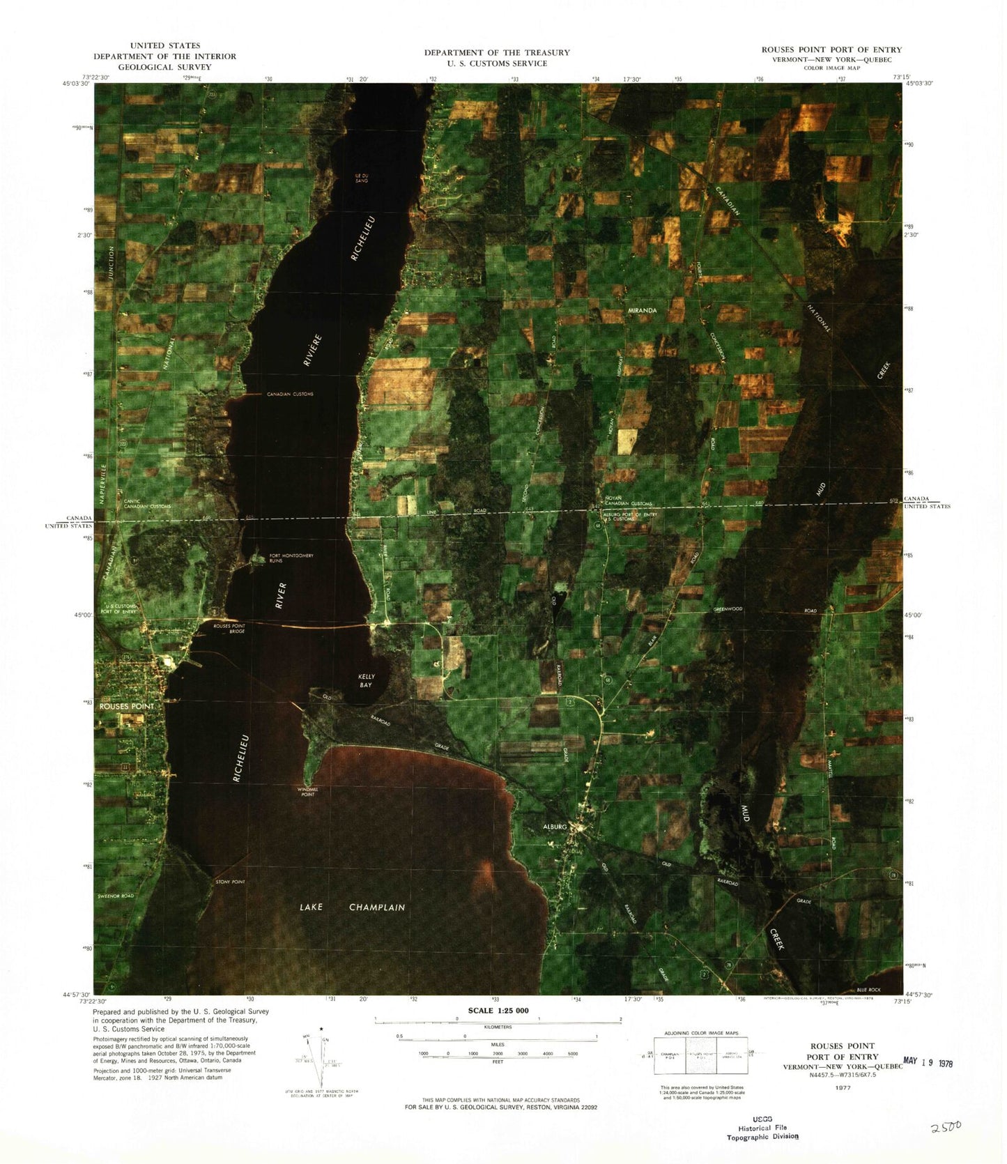
Classic USGS Rouses Point Port of Entry Vermont 7.5'x7.5' Topo Map
Couldn't load pickup availability
Historical USGS topographic quad map of Rouses Point Port of Entry in the states of Vermont, New York. Map scale may vary for some years, but is generally around 1:24,000. Print size is approximately 24" x 27"
This quadrangle is in the following counties: Clinton, Grand Isle.
The map contains contour lines, roads, rivers, towns, and lakes. Printed on high-quality waterproof paper with UV fade-resistant inks, and shipped rolled.
Contains the following named places: Alburg, Alburg Congregational Church, Alburg Rouses Point Ferry, Alburgh Community Educational Center, Alburgh Post Office, Alburgh Volunteer Fire Department, Amadeus Church, Barcombs Marina, Blue Rock, Borderview Farm, Bush Cemetery, Cedar Hedge Nursing Home, Fort Montgomery, Gaines Marina, Kelly Bay, Lighthouse Point Mariana, Mud Creek Dam, Mud Creek Pond, Mud Creek State Waterfowl Area, Rouses Point, Rouses Point Bridge, Rouses Point Dodge Memorial Library, Rouses Point Elementary School, Rouses Point Police Department, Rouses Point Post Office, Rouses Point Seaplane Base, Rouses Point Village Offices, Rouses Point Wastewater Treatment Plant, Saint Lukes Church, Saint Patrick's Parish Center, Sportsmans Pier, Stony Point, Village of Alburgh, Village of Rouses Point, Windmill Point, Windmill Point Reef, ZIP Code: 12979


