MyTopo
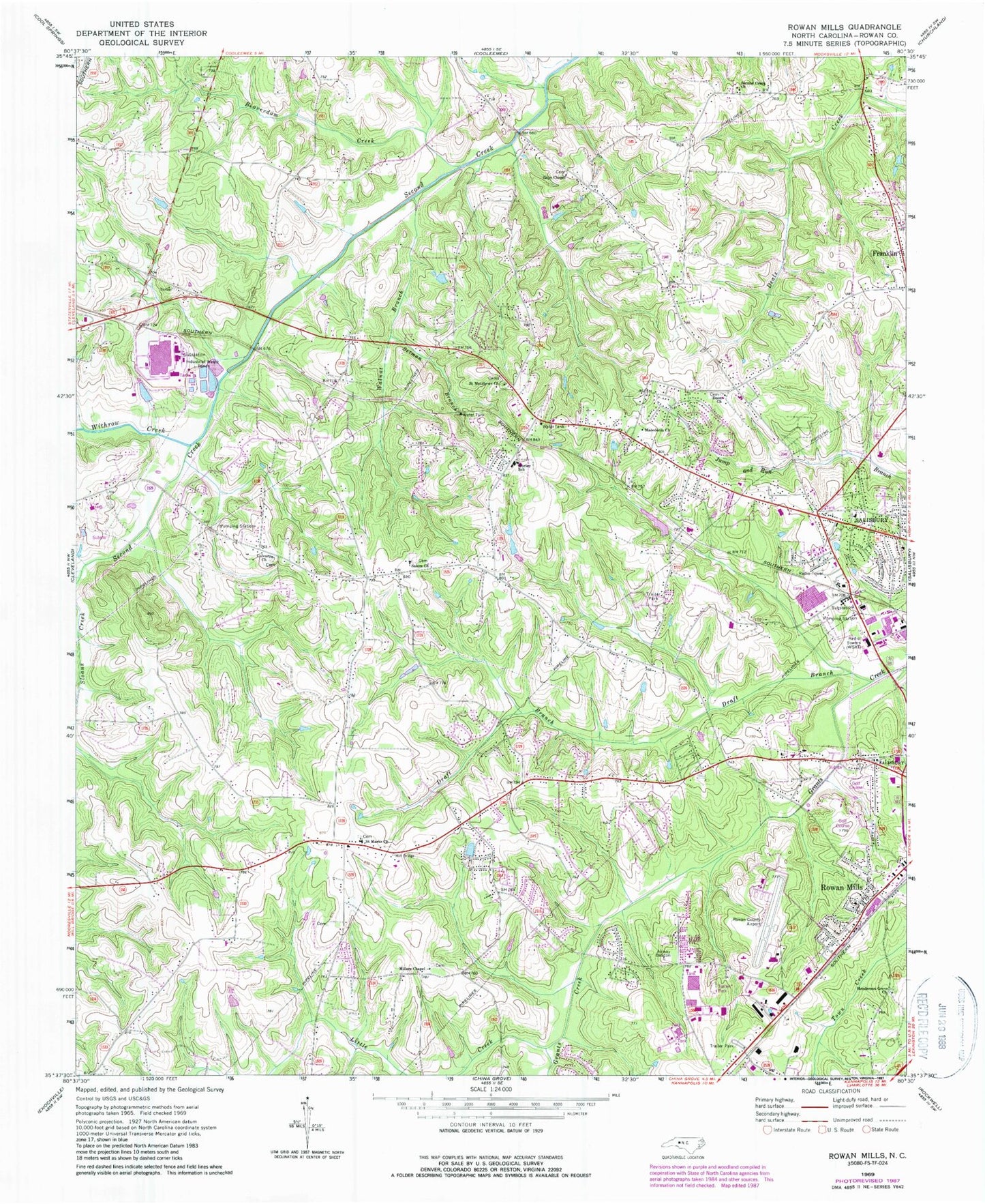
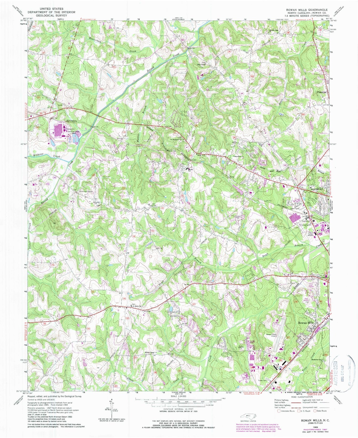
Classic USGS Rowan Mills North Carolina 7.5'x7.5' Topo Map
Couldn't load pickup availability
Historical USGS topographic quad map of Rowan Mills in the state of North Carolina. Map scale may vary for some years, but is generally around 1:24,000. Print size is approximately 24" x 27"
This quadrangle is in the following counties: Rowan.
The map contains contour lines, roads, rivers, towns, and lakes. Printed on high-quality waterproof paper with UV fade-resistant inks, and shipped rolled.
Contains the following named places: Army National Guard Crash and Rescue, Beaverdam Creek, Calvary Church, Dobbins, Draft Branch, Enon Church, Fiber Lake, Fiber Lake Dam, Franklin Township Volunteer Fire Department Station 56, Frohock Mill, Gays Chapel, Gospel Light Church, Henderson Grove Church, Hendrick Estates, Holly Park, Hurley Elementary School, Isenburg Elementary School, Kizer Elementary School, Lincoln Heights, Little Creek, Locke Township Fire Department Station 61, Locke Township Fire Department Station 62, Lockeland, Macedonia Church, Mid-Carolina Mall, Mid-Carolina Regional Airport, Milford Hills, Milford Knoll, Milford Terrace, Millers Chapel, Overbrook Acres, Red Acres, Rolling Hills, Rolling Hills Golf Course, Rowan County, Rowan County Wildlife Lake, Rowan County Wildlife Lake Dam, Rowan Mills, Saint Marks Church, Saint Matthews Church, Salem Church, Salisbury Fire Department Station 2, Salisbury Fire Department Station 4, Second Creek Church, Setman Branch, Sunrise Park, Township of Franklin, Township of Locke, Walnut Branch, Watson Village, West Salisbury, Westcliff, Westland Shopping Center, Withrow Creek, Woodbridge Run, WRDX-FM (Salisbury), WSAT-AM (Salisbury), WSTP-AM (Salisbury), ZIP Code: 28147


