MyTopo
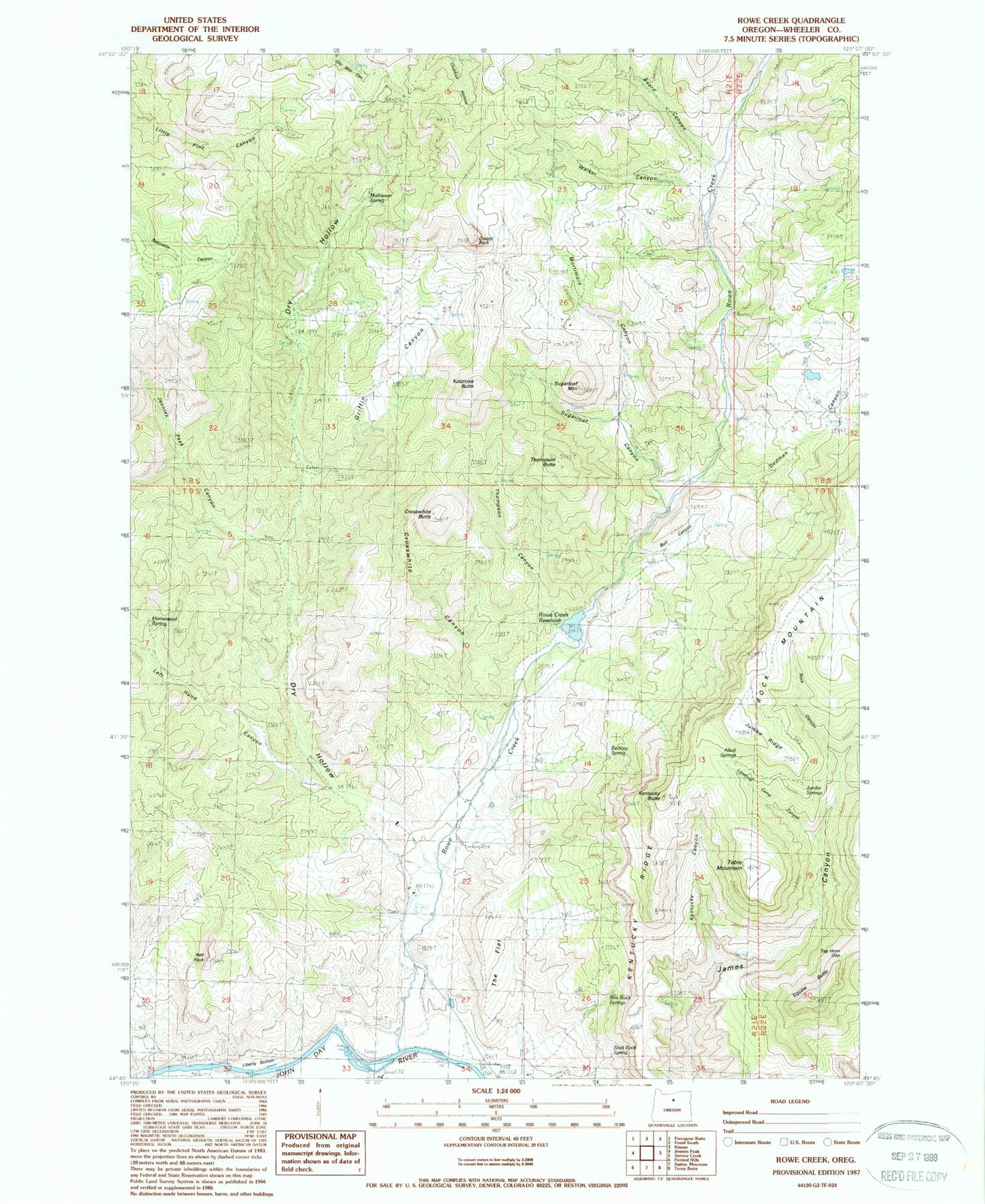
Classic USGS Rowe Creek Oregon 7.5'x7.5' Topo Map
Couldn't load pickup availability
Historical USGS topographic quad map of Rowe Creek in the state of Oregon. Map scale may vary for some years, but is generally around 1:24,000. Print size is approximately 24" x 27"
This quadrangle is in the following counties: Wheeler.
The map contains contour lines, roads, rivers, towns, and lakes. Printed on high-quality waterproof paper with UV fade-resistant inks, and shipped rolled.
Contains the following named places: Alkali Springs, Beard Canyon, Beckley Spring, Bull Canyon, Craggy Rock, Crosswhite Butte, Crosswhite Canyon, Dedman Canyon, Dry Hollow, Griffin Canyon, Homestead Spring, Jennies Peak Canyon, Jumbo Ridge, Jumbo Springs, Kentucky Butte, Kentucky Canyon, Kentucky Ridge, Kotzman Butte, Lambing Camp Canyon, Left Hand Canyon, Liberty Bottom, Mathieson Spring, Mortimore Canyon, Red Rock, Rim Rock Springs, Rock Canyon, Rock Mountain, Rowe Creek, Rowe Creek Dam, Rowe Creek Reservoir, Shell Rock Spring, Squaw Butte, Sugarloaf Canyon, Sugarloaf Mountain, Sutton Ranch, Table Mountain, Tap Horn Gap, The Flat, Thompson Butte, Thompson Canyon, Walker Canyon


