MyTopo
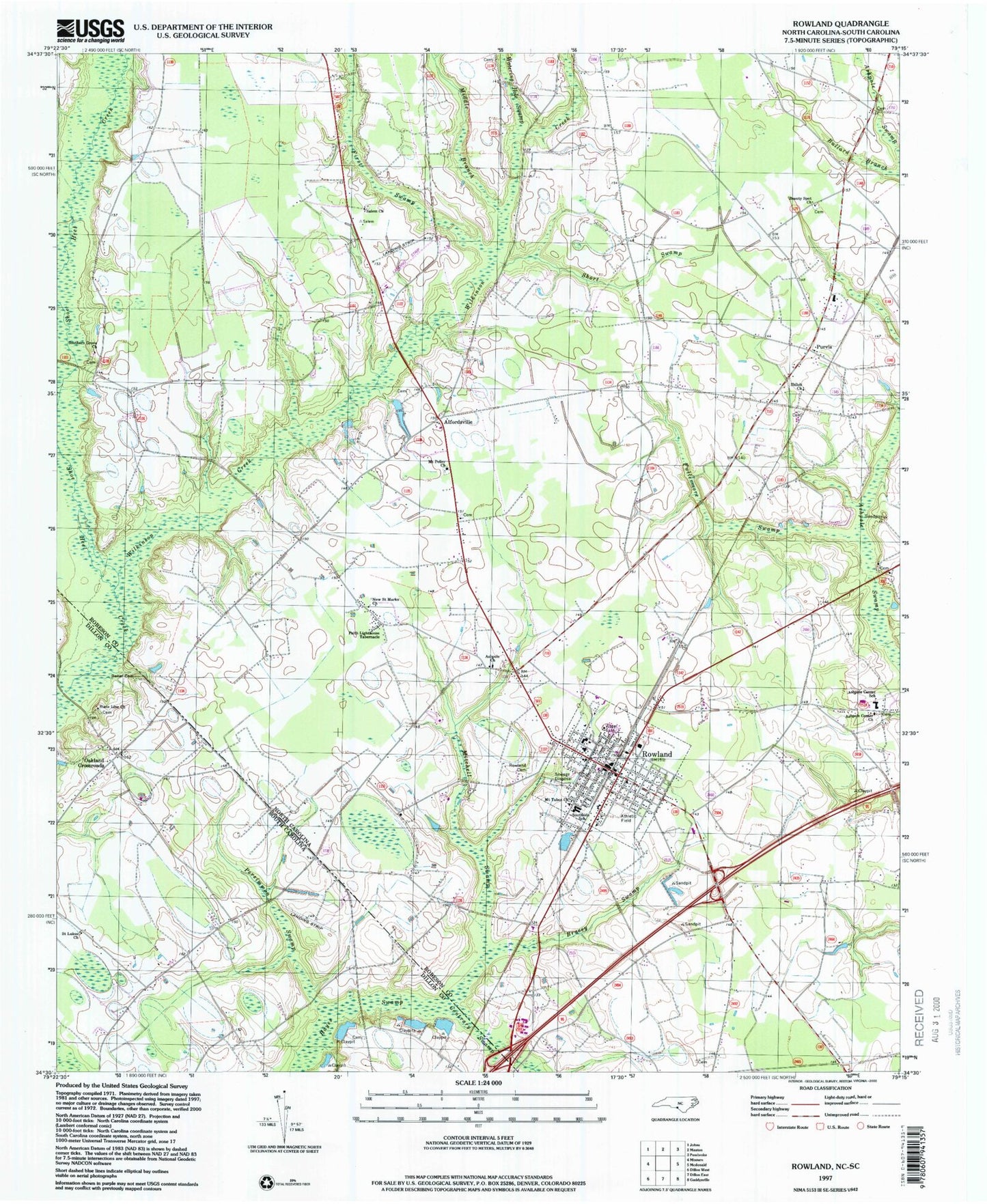
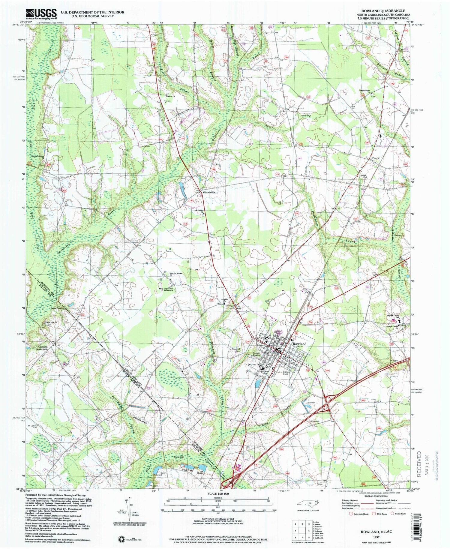
Classic USGS Rowland North Carolina 7.5'x7.5' Topo Map
Couldn't load pickup availability
Historical USGS topographic quad map of Rowland in the states of North Carolina, South Carolina. Map scale may vary for some years, but is generally around 1:24,000. Print size is approximately 24" x 27"
This quadrangle is in the following counties: Dillon, Robeson.
The map contains contour lines, roads, rivers, towns, and lakes. Printed on high-quality waterproof paper with UV fade-resistant inks, and shipped rolled.
Contains the following named places: Alfordsville, Ashpole Center Church, Ashpole Center School, Ashpole Presbyterian Church, Baker Cemetery, Bakers Mill, Beauty Spot Church, Bracey Swamp, Bullard Branch, Contrary Swamp, Faith Lighthouse Tabernacle, First Swamp, Fullermore Swamp, McCormick Cemetery, Middle Branch Wilkinson Creek, Mitchell Swamp, Mount Pelier Church, Mount Tabor Church, New Saint Marks Church, Oakland Crossroads, Oakland School, Oakland United Methodist Church, Oakland United Methodist Church Cemetery, Persimmon Swamp, Purvis, Raemon Census Designated Place, Rowland, Rowland Cemetery, Rowland Middle School, Rowland Police Department, Rowland Post Office, Rowland Rescue Squad, Rowland Rural Fire Department, Saint Luke School, Saint Lukes Church, Salem Church, Shiloh Church, Short Swamp, Southern Grove Church, Southside School, State Line Church, Town of Rowland, Township of Rowland, Watering Hole Swamp, Wilkinson Creek, ZIP Code: 28383