MyTopo
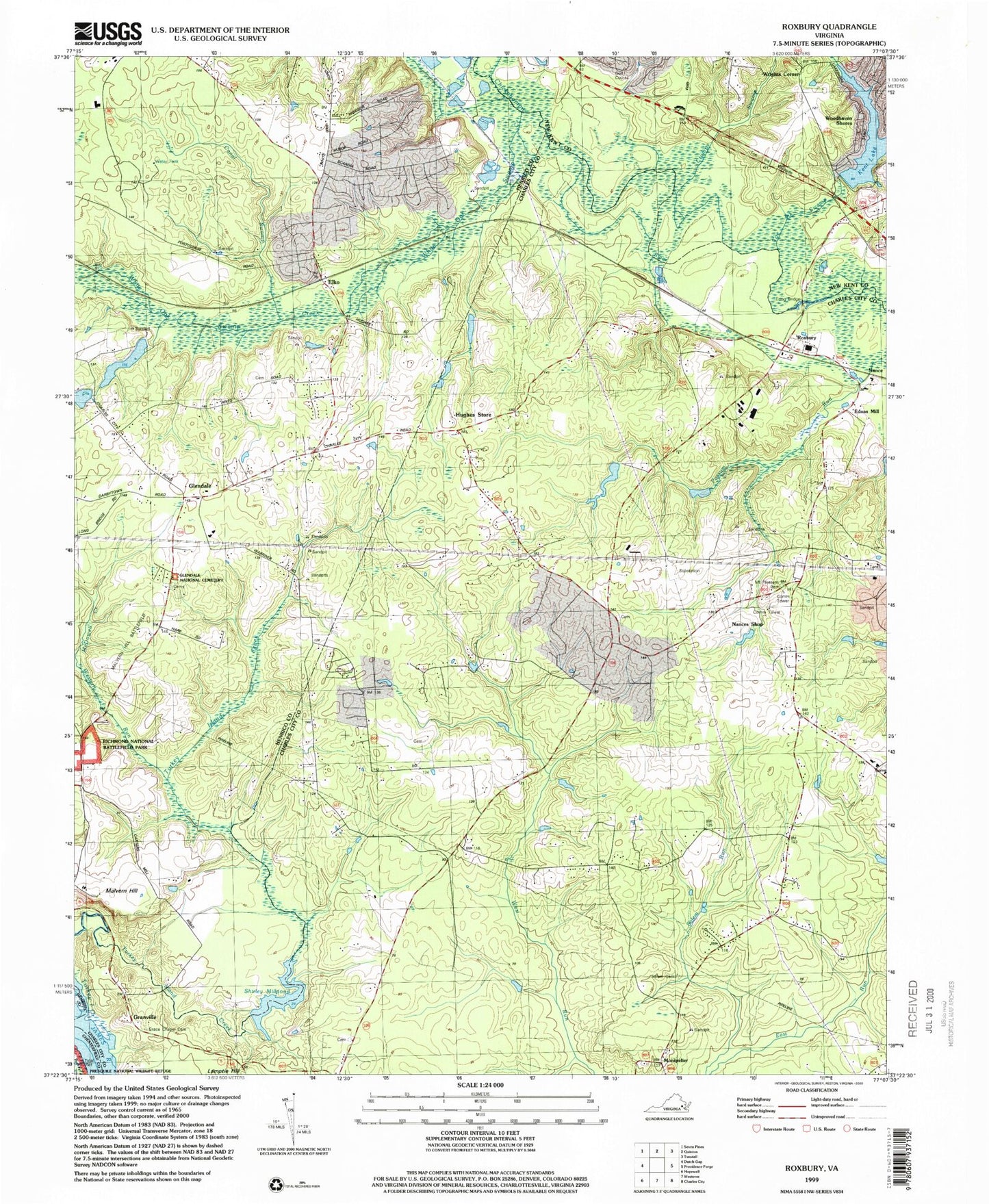
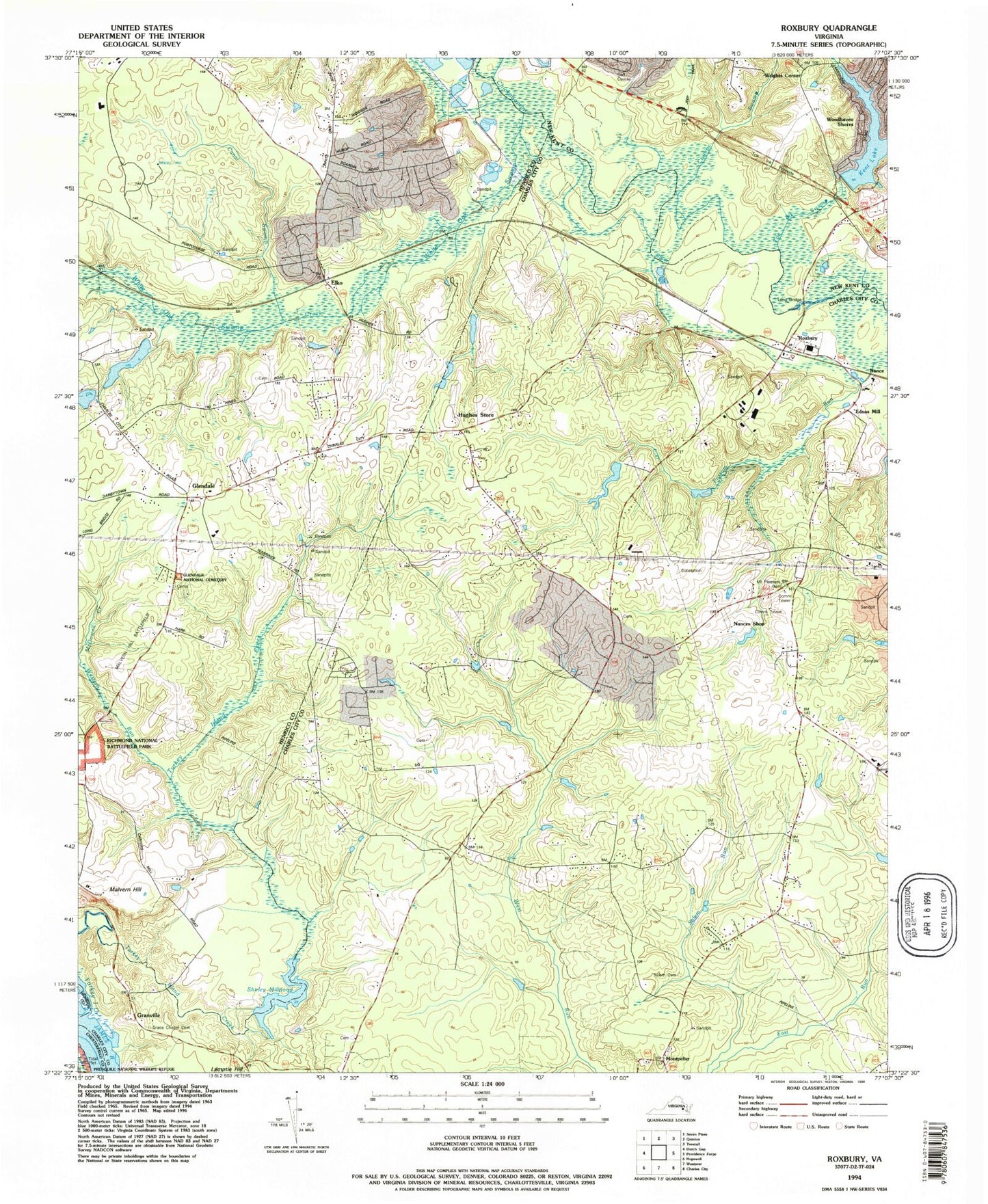
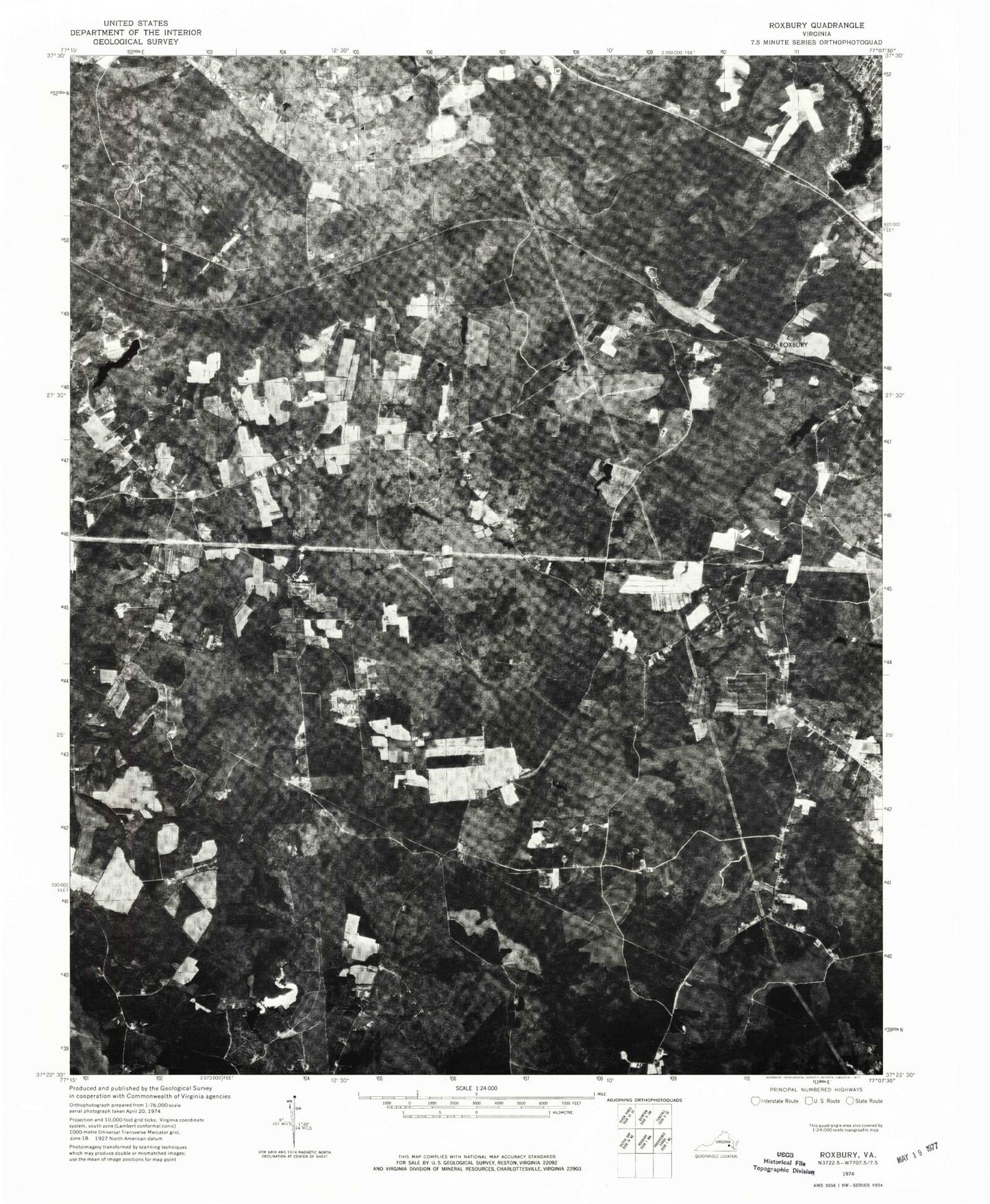
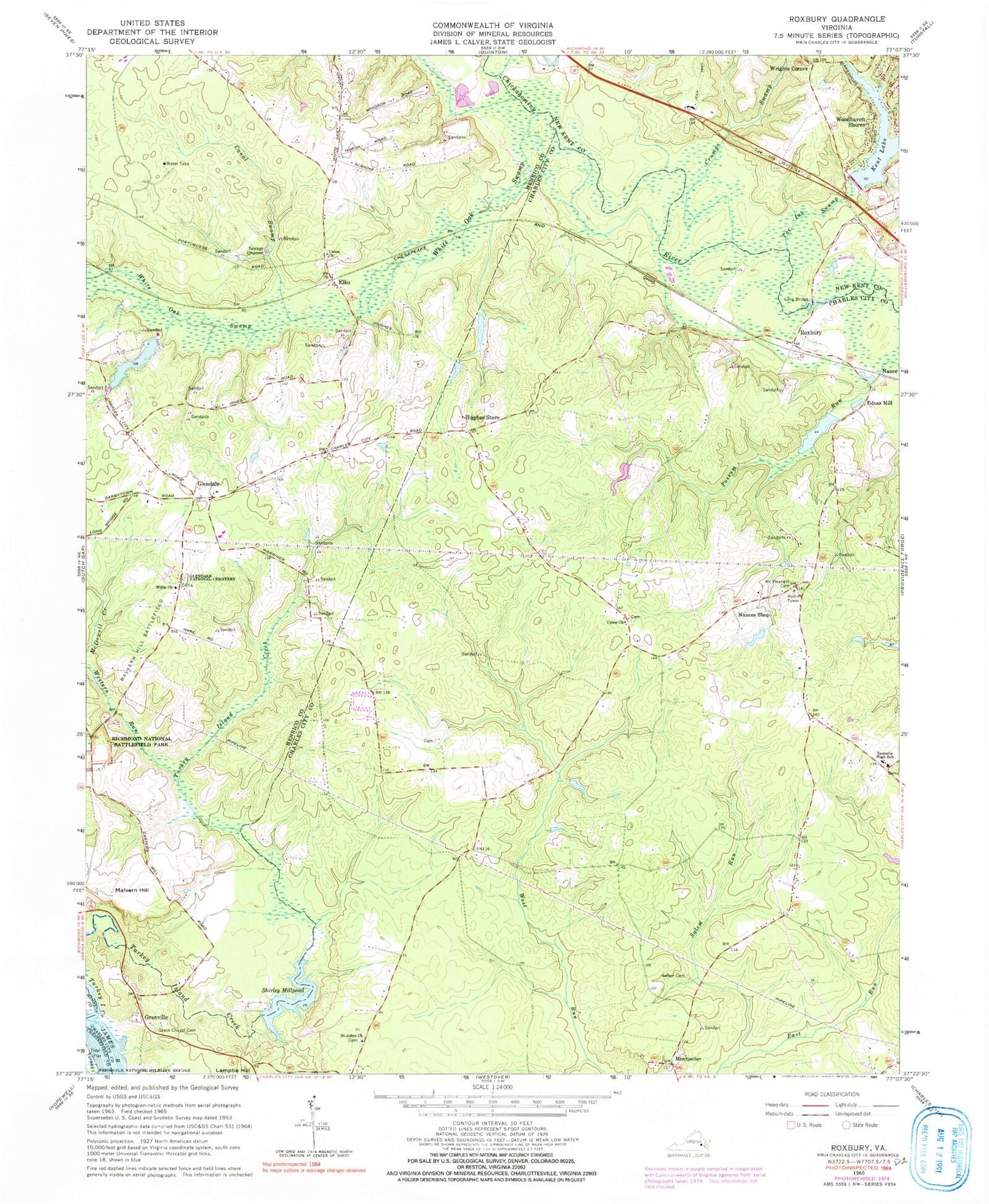
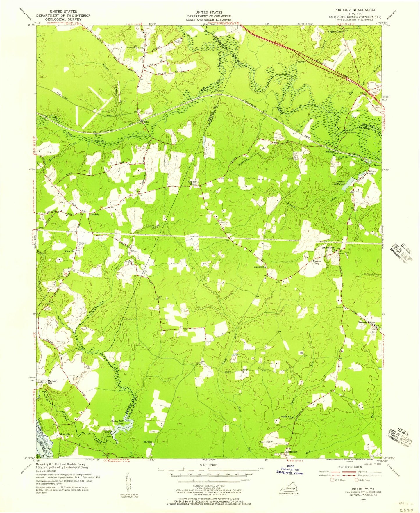
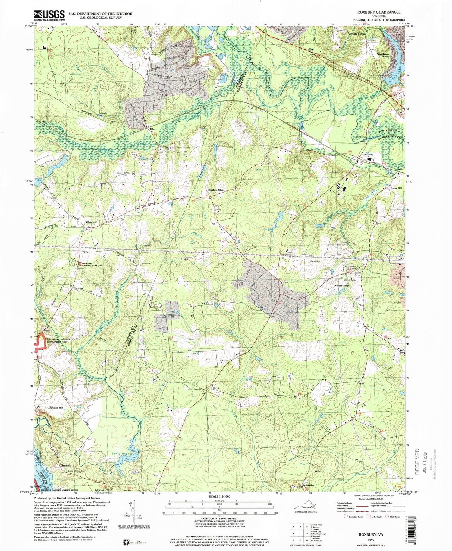
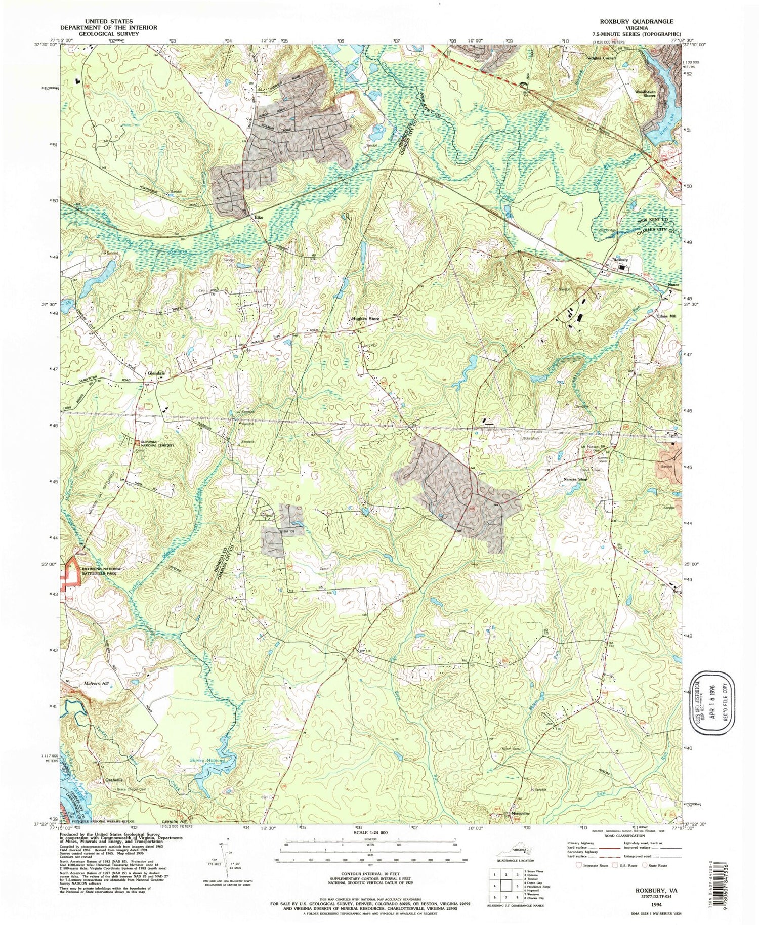
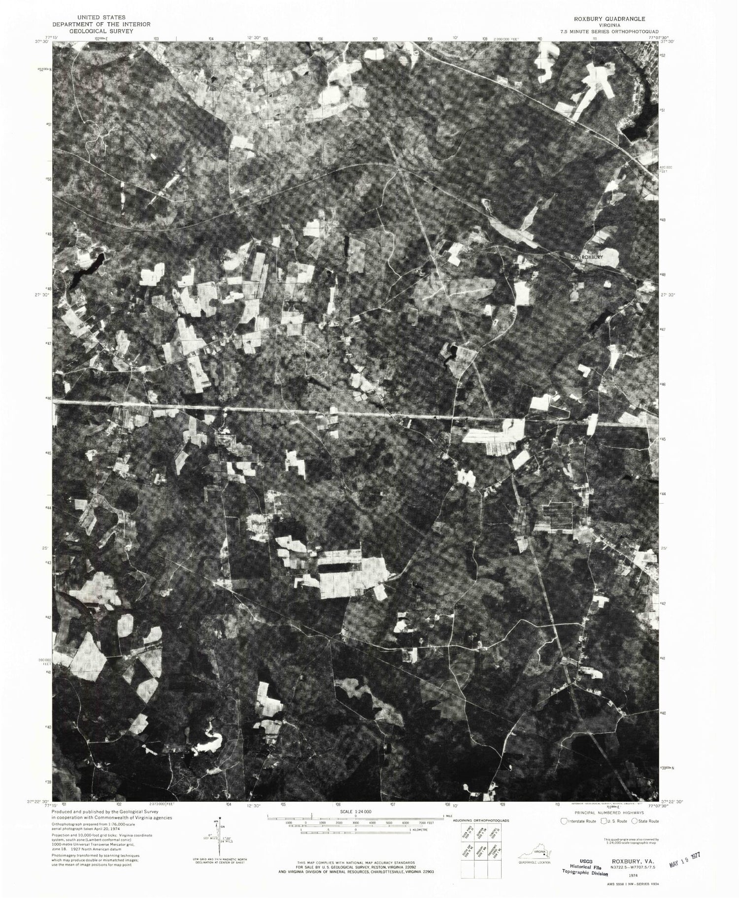
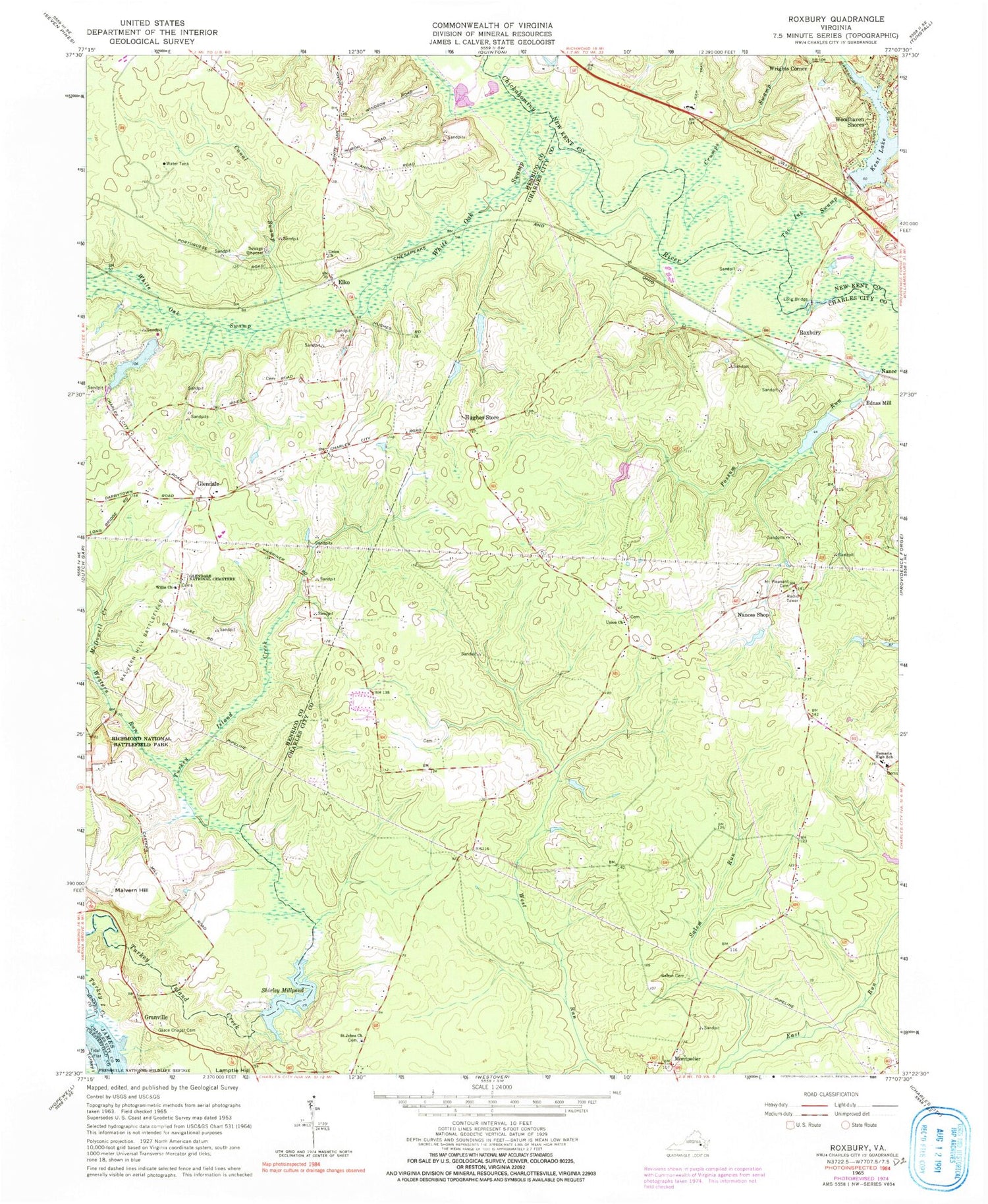
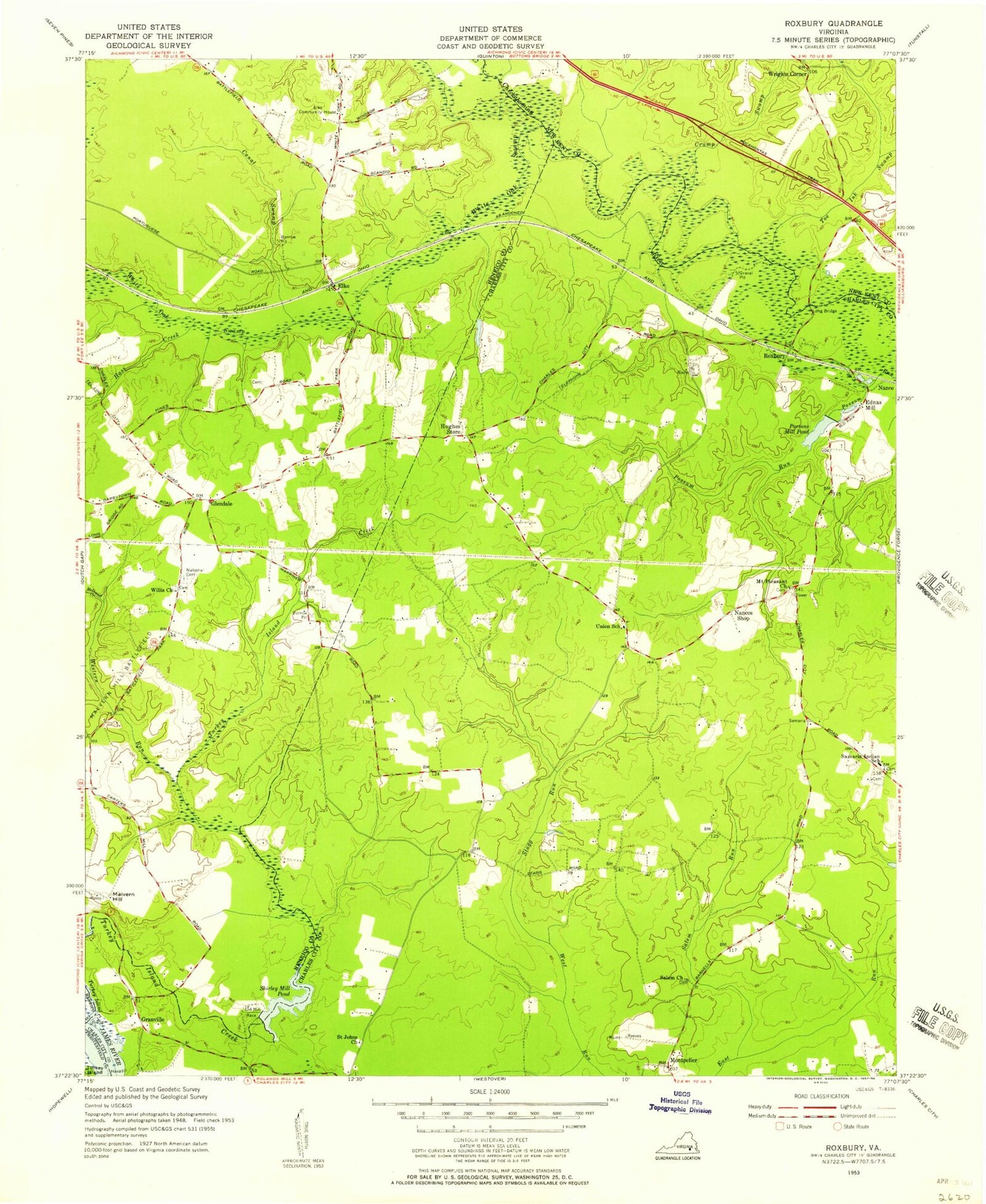
Classic USGS Roxbury Virginia 7.5'x7.5' Topo Map
Couldn't load pickup availability
Historical USGS topographic quad map of Roxbury in the state of Virginia. Map scale may vary for some years, but is generally around 1:24,000. Print size is approximately 24" x 27"
This quadrangle is in the following counties: Charles City, Chesterfield, Henrico, New Kent.
The map contains contour lines, roads, rivers, towns, and lakes. Printed on high-quality waterproof paper with UV fade-resistant inks, and shipped rolled.
Contains the following named places: Canal Swamp, Charles City Volunteer Fire Department Station 2, Chickahominy Academy, Chickahominy Tribal Center, Chickahominy Tribal Designated Statistical Area, Crumps Swamp, District 1, Ednas Mill, Elko, Glendale, Glendale National Cemetery, Grace Chapel Cemetery, Granville, Harrison Magisterial District, Hughes Store, James City County Sheriff's Office, Kent Dam, Long Bridge, Malvern Hill, McDowell Creek, Montpelier, Mount Pleasant Cemetery, Nance, Nances Shop, Roxbury, Saint Johns Church, Salem Cemetery, Salem Run, Samaria High School, Sand Branch, Shirley Mill Dam, Shirley Millpond, Toe Ink Swamp, Toe Ink Wayside, Turkey Island Creek, Ukrop Dam, Ukrop Pond, Union Church, Western Run, White Oak Swamp, Willis Church, Woodhaven Shores, Wrights Corner
