MyTopo
Classic USGS Roy NW Montana 7.5'x7.5' Topo Map
Regular price
$16.95
Regular price
Sale price
$16.95
Unit price
per
Couldn't load pickup availability
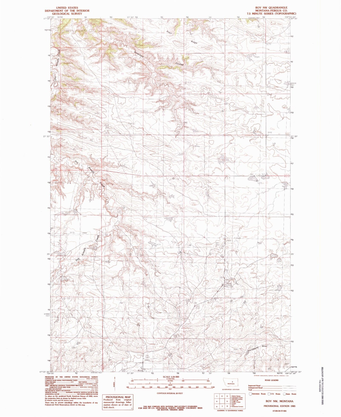
Historical USGS topographic quad map of Roy NW in the state of Montana. Map scale may vary for some years, but is generally around 1:24,000. Print size is approximately 24" x 27"
This quadrangle is in the following counties: Fergus.
The map contains contour lines, roads, rivers, towns, and lakes. Printed on high-quality waterproof paper with UV fade-resistant inks, and shipped rolled.
Contains the following named places: 19N22E06CCD_01 Well, 20N22E14CCC_01 Well, 20N22E23CAC_01 Well, Dry Armells School, Fink Reservoir Dam, Hey Joe Reservoir Dam, Mabee Dam, Snell Ridge, Too Far Gone Dam, Zuley Post Office, Zuley School