MyTopo
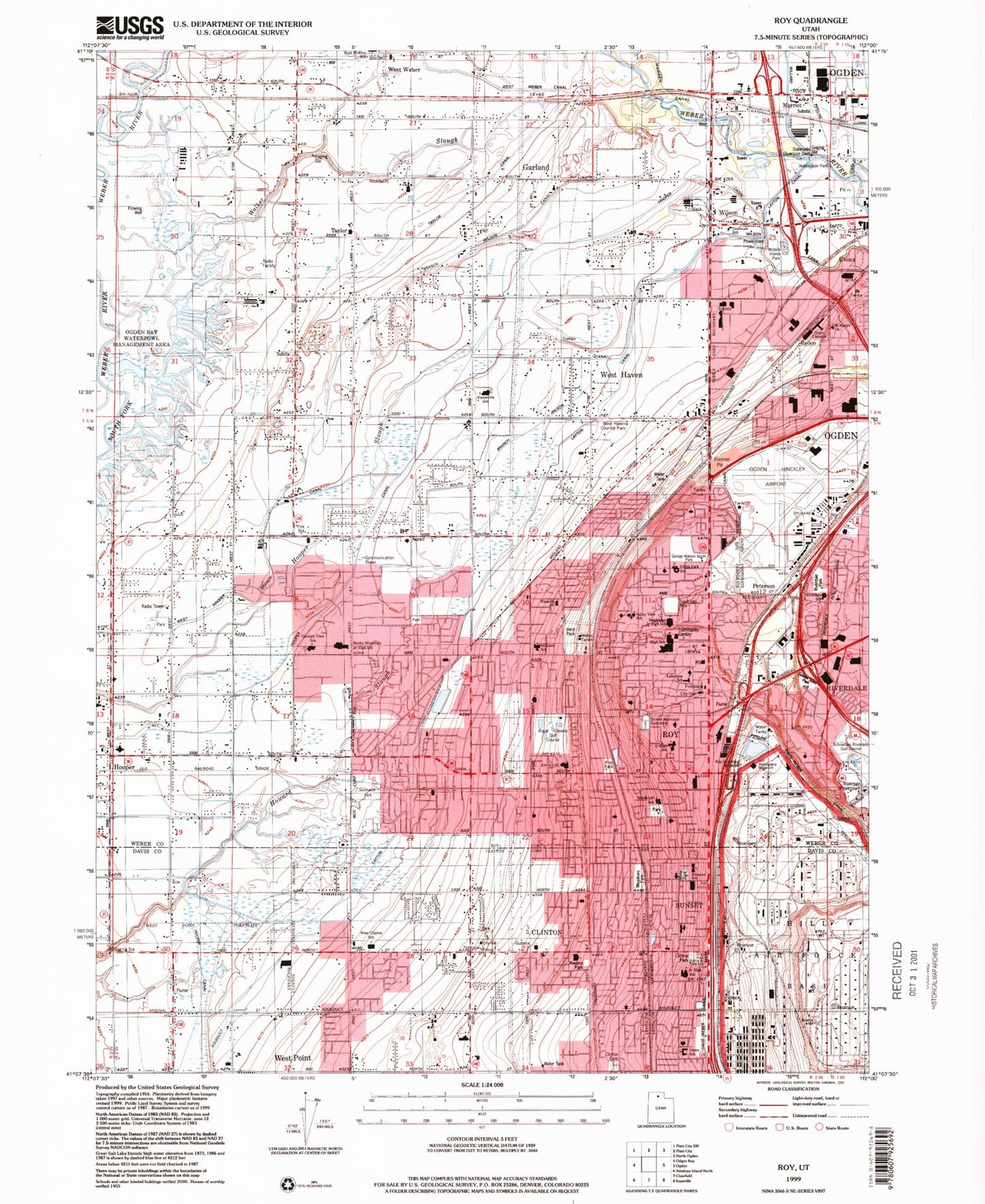
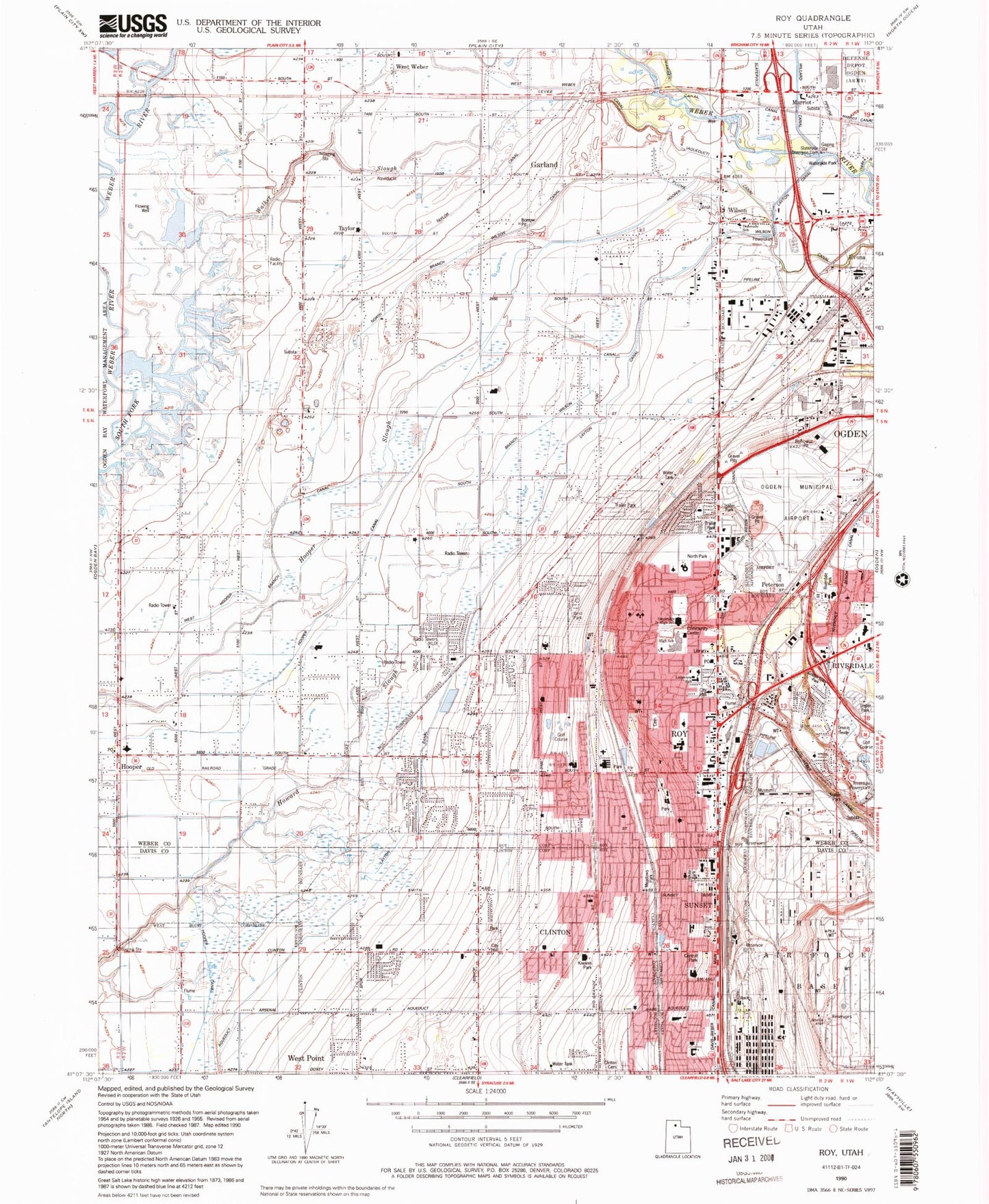
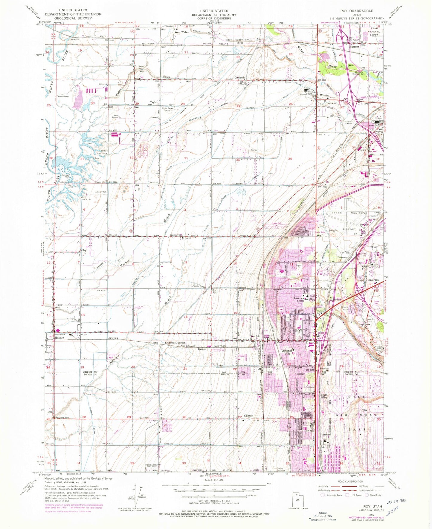
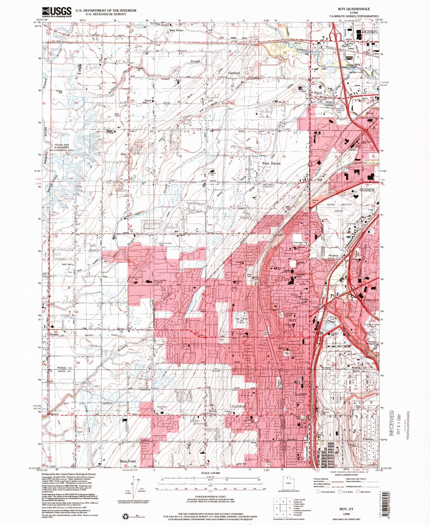
Classic USGS Roy Utah 7.5'x7.5' Topo Map
Couldn't load pickup availability
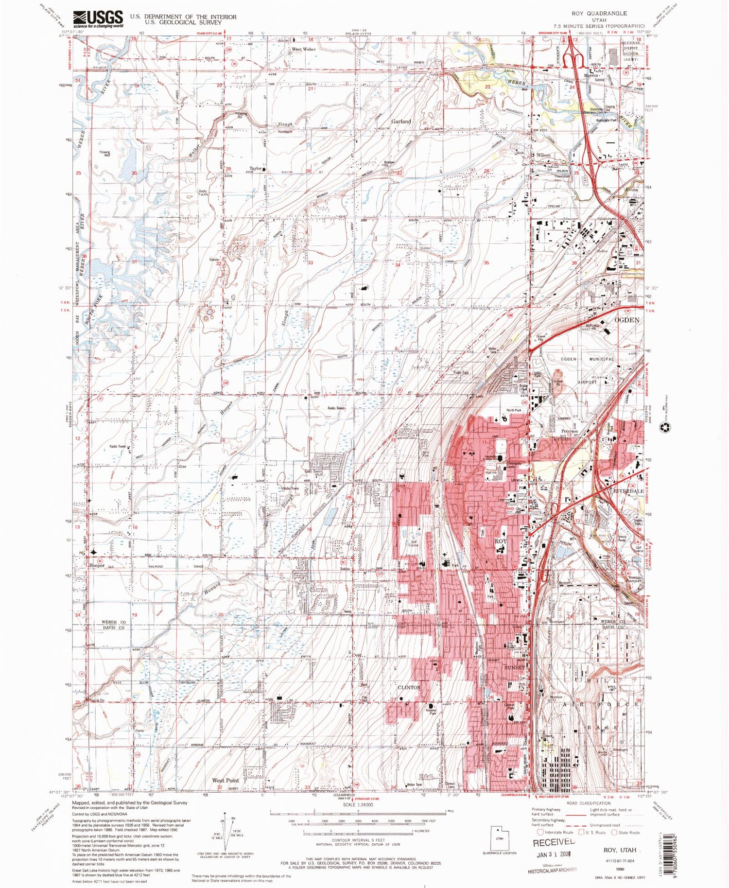
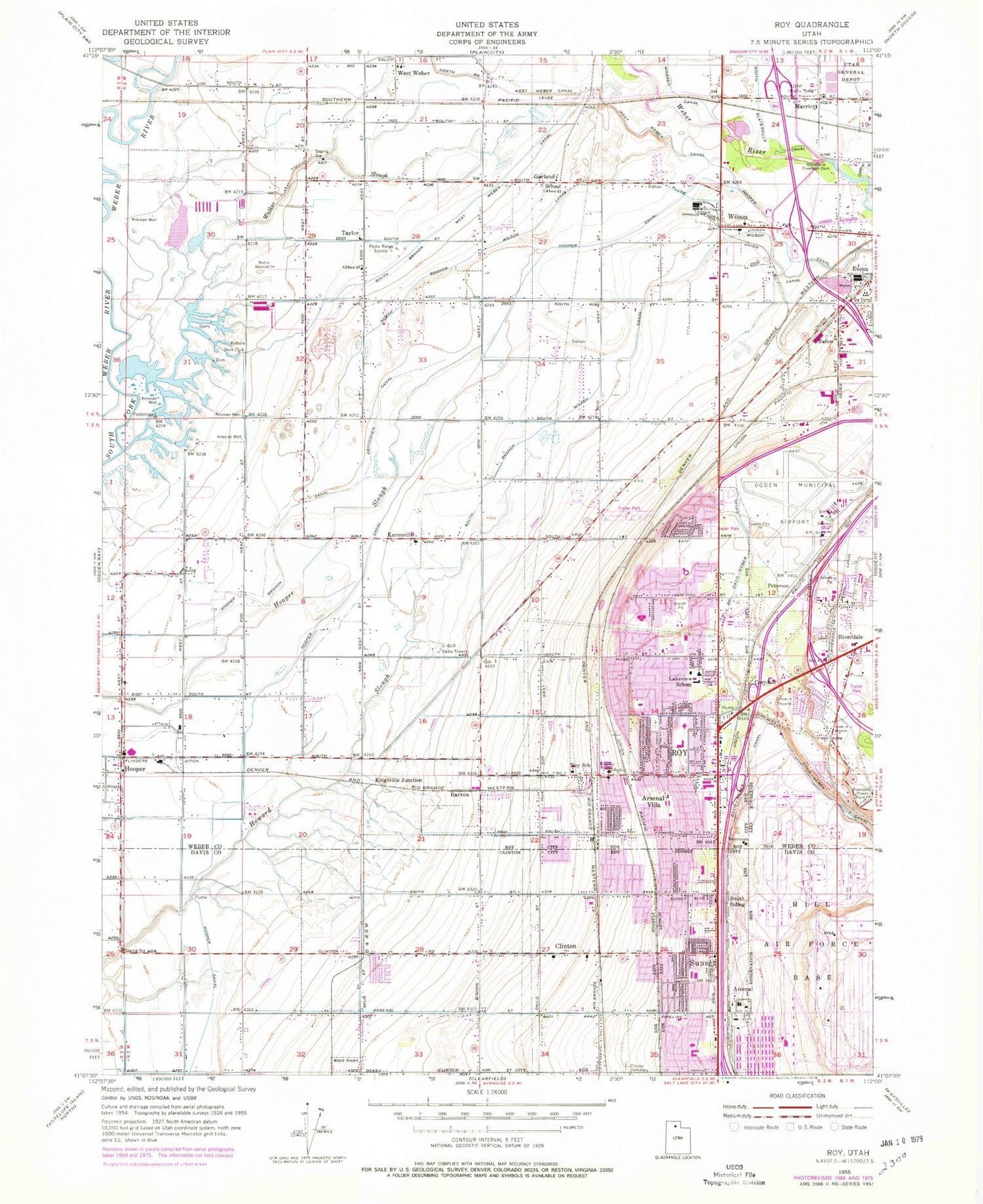
Historical USGS topographic quad map of Roy in the state of Utah. Map scale may vary for some years, but is generally around 1:24,000. Print size is approximately 24" x 27"
This quadrangle is in the following counties: Davis, Weber.
The map contains contour lines, roads, rivers, towns, and lakes. Printed on high-quality waterproof paper with UV fade-resistant inks, and shipped rolled.
Contains the following named places: Al Vi Village, Aland of Honey, Allred, Alpine Ranchettes, Alpine Ranchettes Two, Anderson West Acres, Apple Estates, Apple Park, Apple Valley Estates, Arsenal, Arsenal Villa, Arthur Jones Estate, Aspen West, Barton, Barton-Thompson, Bay View Park, Bel Air, Bellevue Place, Berrett, Bingham Estates, Bonham, Brownscott Manor, Buena Vista, Burmont Park, C C Ann Estates, Carriage Lane Number Two, Carriage Place, Cedar Ridge, Cedar Ridge Number Tow, Century Campground, Chestnut Park, Christensen, Circle R Industrial Park, City of Clinton, City of Riverdale, City of Roy, City of Sunset, City of West Haven, Civic Center Park, Clays Ranchettes, Clint Village, Clinton, Clinton City Park, Commonwealth Square, Cottonwood Meadows, Country Estates Park, Country Homes, Country Lane, Country Meadows, Country Park, Coy, Cozydale, Deanetta, DeGiorgio, Diamond Hills, Donita, Draayer, Edgewood Industrial Park, El Centro Estates, Elta Glen, Enchanted Homes Addition, English Manor, Eves Garden, Evona, Fairmount Park, Fairmount Park Annex, Fairway Estates, Farr Number Two, Fawcett, Flinders Ditch, Fowers, Foxglen, Fuit, Garden Acres, Garland School, Gilene, Glade-Nelson, Golden West Villa, Goodfellow, Graig Dale, Hal-Vern Park Addition, Harmony Park, Harveys Redwood Estates, Hatch, He Flys, Heather Heights, Herefordshire, Heritage Square, Hill Acres, Holley Acres, Holley and Whitney, Hooper, Hooper Branch Canal, Hy-Mesa, Jackson Orchards, Jill, John Fuit, Jones, Kanesville, Kap, Kelley Kay Acres, Kentwood Estates, Kingsville Junction, Kiwanis Park, La Loma, Lake View Ward, Lakeside Acres, Lakeside Park, Lakeview Equestrian Park, Lakeview Gardens, Laurel Lea, Lavell, Lawndale Addition, Lazy L Estates, Lee Mesa, Lemans, Lewis Estates, Linda Vista, Loma Bonita, Lori Ann Estates, Lucin, Mansion Heights Addition, Maplewood Estates, Margretta, Marriott, Marvins, Maybrook, Meadowlane, Meadows Park, Mel Stephenson, Midland Farms, Midland Square, Mitchell Estates, Montrose Park, Morby Park, Mountair Park, Muir Meadows, Municipal Acres, Municipal Park, Murdock, New Hampton Manor, Nielson Estates, North Branch Wilson Canal, North Crest Manor, Ogden Division, Ogden Heights, Ogden Nature Center, Ogden River, Olivewood Park, Page Estates, Par Four, Park Lake, Parker, Parks, Parkside, Peppermint Park, Peterson, Pinto Acres, Pleasant View, Pony Acres Estates, Pothole Duck Club, Purser, Quail Point, Rayneer, Relico, Rich Acres, Richton Ranchettes, Ridgewood Estates, Riverdale, Riverdale Park, Riverdale Power Plant, Riverside Industrial Park, Roi Dell, Roi-Dell, Rosewood Estates, Roskelley, Roy, Roy Marketplace Plaza, Roy Park, Roy Park Addition, Roy Shopping Center, Roy West, Royset Park Addition and Annex, Sandalwood Square, Sandridge Estates, Scotts Dale, Shamrock, Shannondoah Estates, Smith Siding, Snap-N-Fox Farms, Stoneybrook Estates, Suburban Heights, Sun, Sun Ray, Sundown Estates, Sunray, Sunrise Park, Sunset, Sunset Dale, Sunset Square, Tanner, Taylor, Terry Dale, Terry Estates, Thompson Gardens, Town and Country Estates, Tri-S Village Estates, Tubbs, Val-Jo, Valley Green Estates, Valley Park Estates, Valley Side, Valley View Acres, Valleywest, Vern G Taylor, Villa Moritz, Walker Slough, Wen Dale Park, West Haven, West Hills, West Side Estates, West View Park, West Weber, Westbrook, Western Willows Cluster, Westlake Village, Westridge, Wheatridge Estates, White, White Park, William R Patterson, Willow Wood, Wilson, ZIP Codes: 84067, 84401
