MyTopo
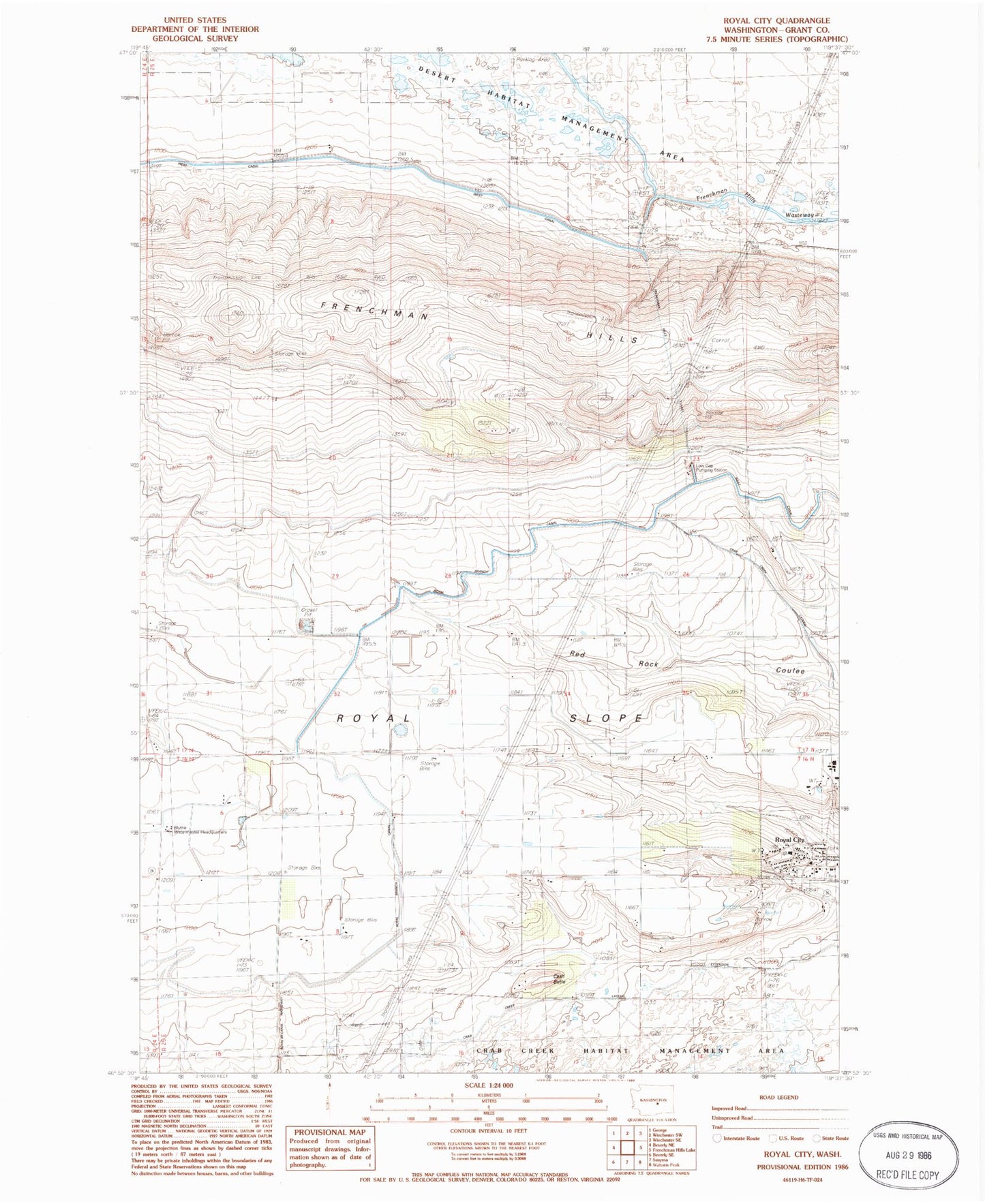
Classic USGS Royal City Washington 7.5'x7.5' Topo Map
Couldn't load pickup availability
Historical USGS topographic quad map of Royal City in the state of Washington. Map scale may vary for some years, but is generally around 1:24,000. Print size is approximately 24" x 27"
This quadrangle is in the following counties: Grant.
The map contains contour lines, roads, rivers, towns, and lakes. Printed on high-quality waterproof paper with UV fade-resistant inks, and shipped rolled.
Contains the following named places: B & G Farms Airport, Cash Butte, Grant County Fire District 10 Station 2, Low Gap Pumping Station, Red Rock Elementary School, Royal Branch Canal, Royal City, Royal City Post Office, Royal High School, Royal Middle School, Royal Slope, Stillwater Creek Airport, Watermaster Headquarters, ZIP Code: 99357