MyTopo
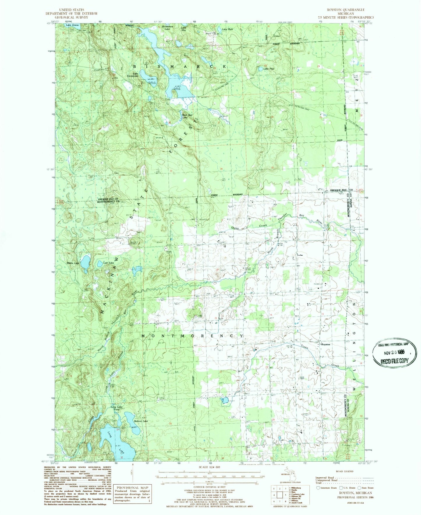
Classic USGS Royston Michigan 7.5'x7.5' Topo Map
Couldn't load pickup availability
Historical USGS topographic quad map of Royston in the state of Michigan. Map scale may vary for some years, but is generally around 1:24,000. Print size is approximately 24" x 27"
This quadrangle is in the following counties: Alpena, Montmorency, Presque Isle.
The map contains contour lines, roads, rivers, towns, and lakes. Printed on high-quality waterproof paper with UV fade-resistant inks, and shipped rolled.
Contains the following named places: Babcock School, Bedore Lake, Cement School, Grass Creek, Green School, Lake Emma Lookout Tower, Lake Ferdelman, Lake Paul, Lake Ruth, Long Lake, Long Lake Creek, Long Lake Pond, Lost Lake, Marl Bed Lake, Montmorency Cemetery, Quinn Creek, Ribble Lake, Royston, Royston Post Office, Saint John Lutheran Church, Saint Johns Cemetery, Saint Johns Church, Sportsmen Dam