MyTopo
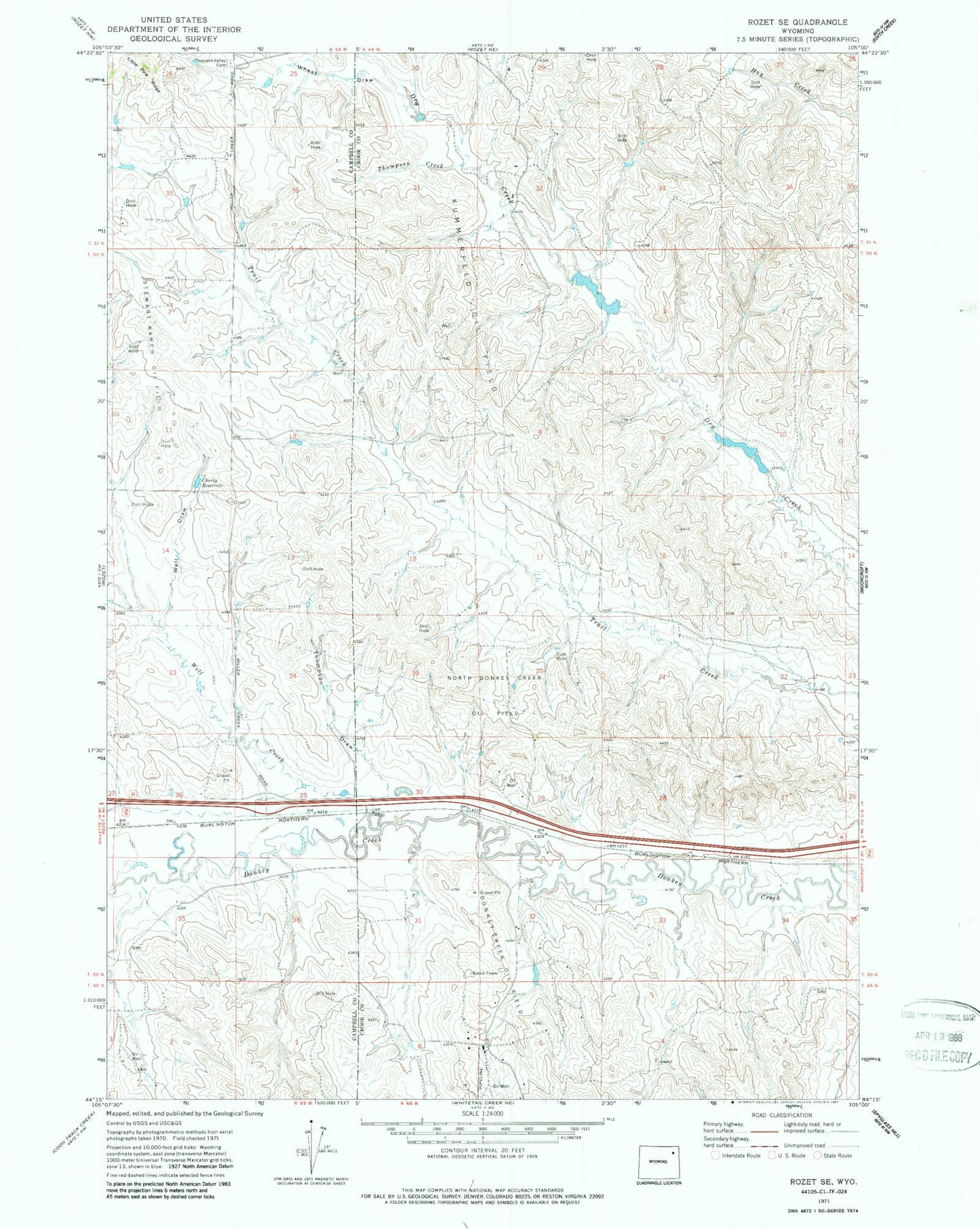
Classic USGS Rozet SE Wyoming 7.5'x7.5' Topo Map
Couldn't load pickup availability
Historical USGS topographic quad map of Rozet SE in the state of Wyoming. Map scale may vary for some years, but is generally around 1:24,000. Print size is approximately 24" x 27"
This quadrangle is in the following counties: Campbell, Crook.
The map contains contour lines, roads, rivers, towns, and lakes. Printed on high-quality waterproof paper with UV fade-resistant inks, and shipped rolled.
Contains the following named places: Cherry Reservoir, Cox Dam, Cox Reservoir, Keuhne Dam, Keuhne Reservoir, Kummerfeld Oil Field, North Donkey Creek Oil Field, Phil Dam, Phil Reservoir, Pleasant Valley Cemetery, Raudsep Number 1 Dam, Raudsep Number 1 Reservoir, Stewart Ranch Oil Field, Thompson Creek, Thompson Draw, Well Creek, Well Draw, Wheat Draw