MyTopo
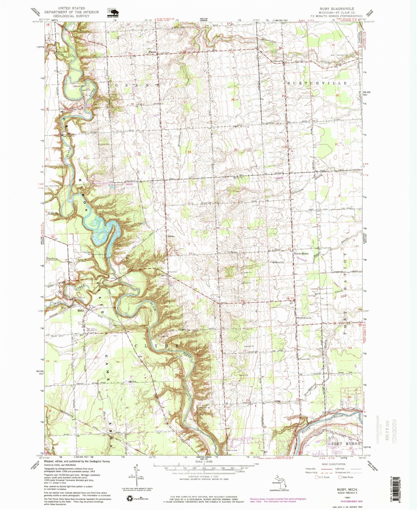
Classic USGS Ruby Michigan 7.5'x7.5' Topo Map
Couldn't load pickup availability
Historical USGS topographic quad map of Ruby in the state of Michigan. Typical map scale is 1:24,000, but may vary for certain years, if available. Print size: 24" x 27"
This quadrangle is in the following counties: St. Clair.
The map contains contour lines, roads, rivers, towns, and lakes. Printed on high-quality waterproof paper with UV fade-resistant inks, and shipped rolled.
Contains the following named places: BPS Heliport, Atkins, Blaine, Brace Drain, Brandymore Drain, Central Church, Glyshaw Drain, Harmony Cemetery, Kinney Cemetery, Mill Creek, North Street, North Street Church, O'Dette Drain, O'Loughlin Drain, Plum Creek, Red School, Ruby, Ruby Cemetery, Vincent School, Township of Burtchville, Township of Clyde, Township of Grant, Vincent Post Office (historical), Ruby Post Office (historical), Blaine Post Office (historical), Zion Post Office (historical), Atkins Post Office (historical), Westbrook Cemetery, North Street Station (historical), North Street Baptist Church, North Street Post Office, Atkins Station (historical), Blaine Station (historical), Zion Station (historical), Clyde Township Fire Department, Burtchville Township Fire Department, Ruby Census Designated Place