MyTopo
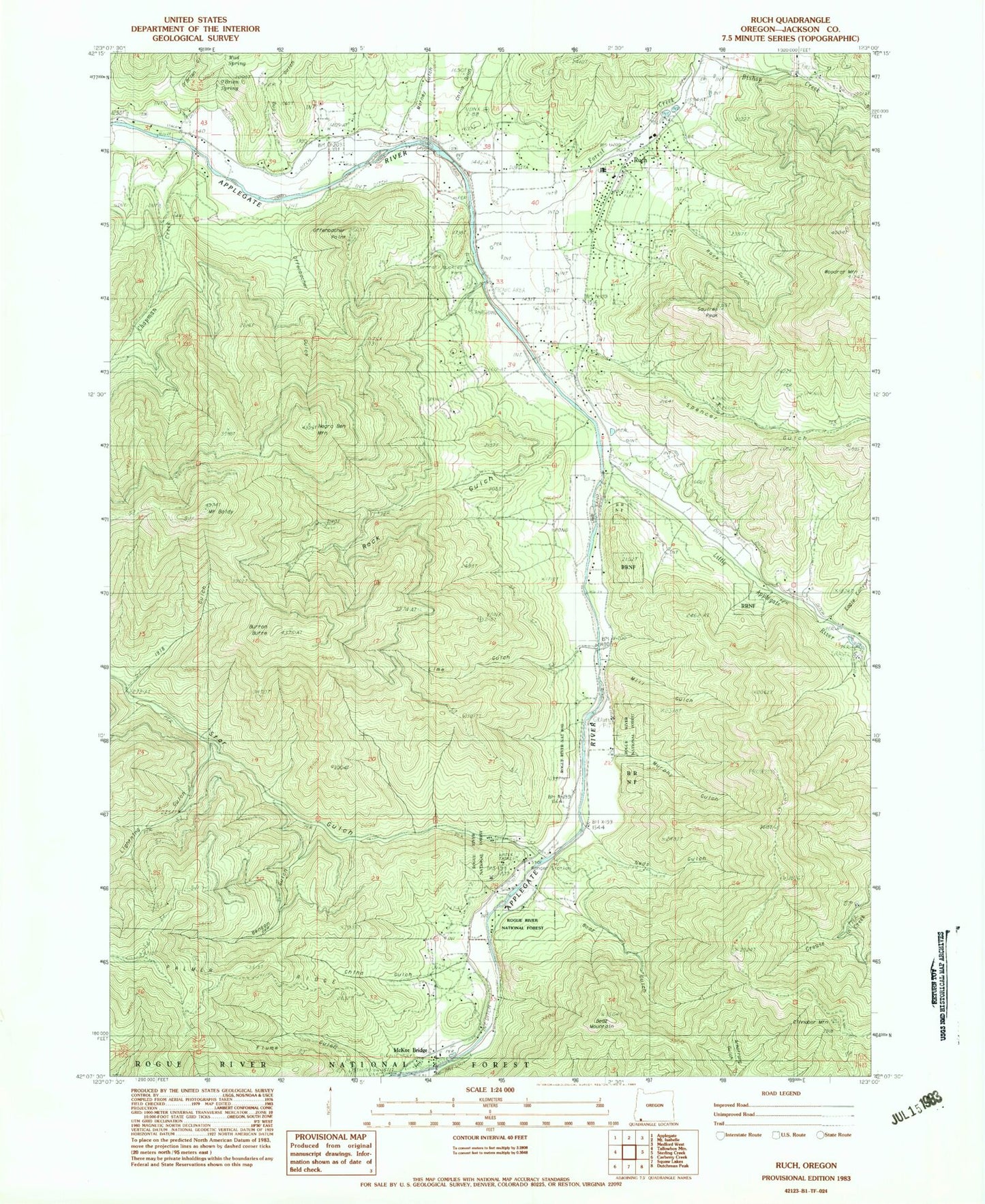
Classic USGS Ruch Oregon 7.5'x7.5' Topo Map
Couldn't load pickup availability
Historical USGS topographic quad map of Ruch in the state of Oregon. Typical map scale is 1:24,000, but may vary for certain years, if available. Print size: 24" x 27"
This quadrangle is in the following counties: Jackson.
The map contains contour lines, roads, rivers, towns, and lakes. Printed on high-quality waterproof paper with UV fade-resistant inks, and shipped rolled.
Contains the following named places: Buckhorn Gulch, Cinnabar Mountain, McKee Bridge, O'Brien Spring, Mud Spring, Matney Gulch, O'Brien Gulch, Mount Baldy, Benson Gulch, Bishop Creek, Boaz Gulch, Boaz Mountain, Burton Butte, Chapman Creek, China Ditch, China Gulch, China Gulch, Eagle Canyon, Forest Creek, Lightning Gulch, Lime Gulch, Little Applegate River, Long Gulch, McKee Bridge Recreation Site, Mill Gulch, Murphy Gulch, Neds Gulch, Ben Johnson Mountain, Nineteenhundred Eighteen Gulch, Offenbacher Gulch, Offenbacher Point, Ruch, Spencer Gulch, Squires Peak, Star Gulch, Applegate Ranger Station, Woodrat Mountain, Camp Meeting Creek, Hunter-Best Reservoirs, Wertz Spring, Cornstock Ditch, Swayne Ditch, Rock Gulch, Rock Gulch, Cameron (historical), Cantrall Buckley County Park, Ruch Elementary School, Forrest Post Office (historical), Uniontown Post Office (historical), Pursel Post Office (historical), Ruch Post Office (historical), Cinnabar Lookout, Applegate Valley Rural Fire Protection District 9 Station 3 Headquarters, Applegate Valley Rural Fire Protection District 9 Station 2, United States Forest Service Applegate Ranger District, Ruch Census Designated Place, Fly By Night Airport, Ruch Branch Library, Rogue River Siskiyou National Forest Law Enforcement Jacksonville


