MyTopo
Classic USGS Rudd Draw Texas 7.5'x7.5' Topo Map
Regular price
$16.95
Regular price
Sale price
$16.95
Unit price
per
Couldn't load pickup availability
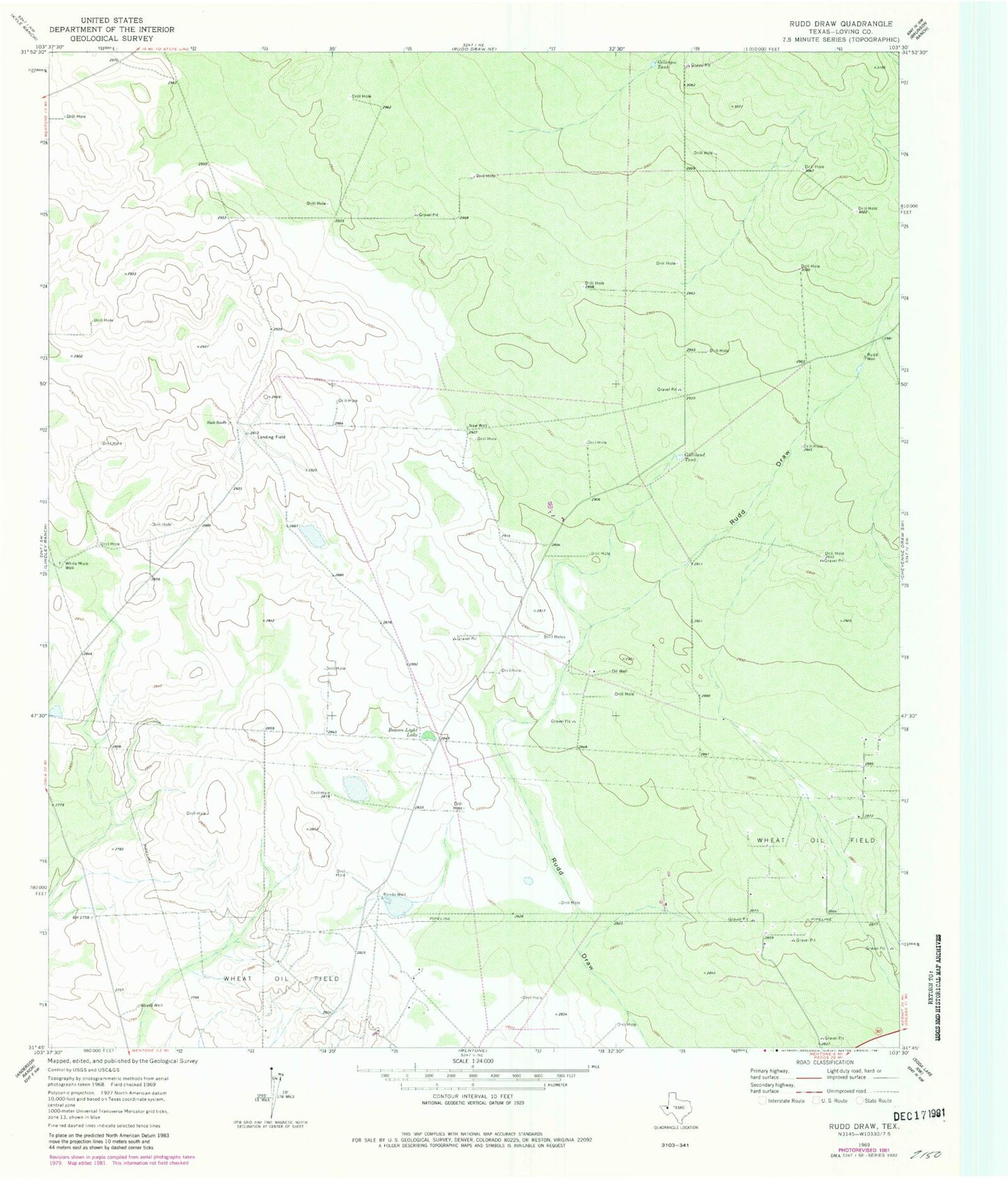
Historical USGS topographic quad map of Rudd Draw in the state of Texas. Map scale may vary for some years, but is generally around 1:24,000. Print size is approximately 24" x 27"
This quadrangle is in the following counties: Loving.
The map contains contour lines, roads, rivers, towns, and lakes. Printed on high-quality waterproof paper with UV fade-resistant inks, and shipped rolled.
Contains the following named places: Beacon Light Lake, Gillespie Tank, Gilliland Tank, Loving County, Mentone Division, New Well, Rondo Well, Rudd Well, Slash Ranch, Slash Ranch Cemetery, Wheat Well, White Mule Well, ZIP Code: 79754