MyTopo
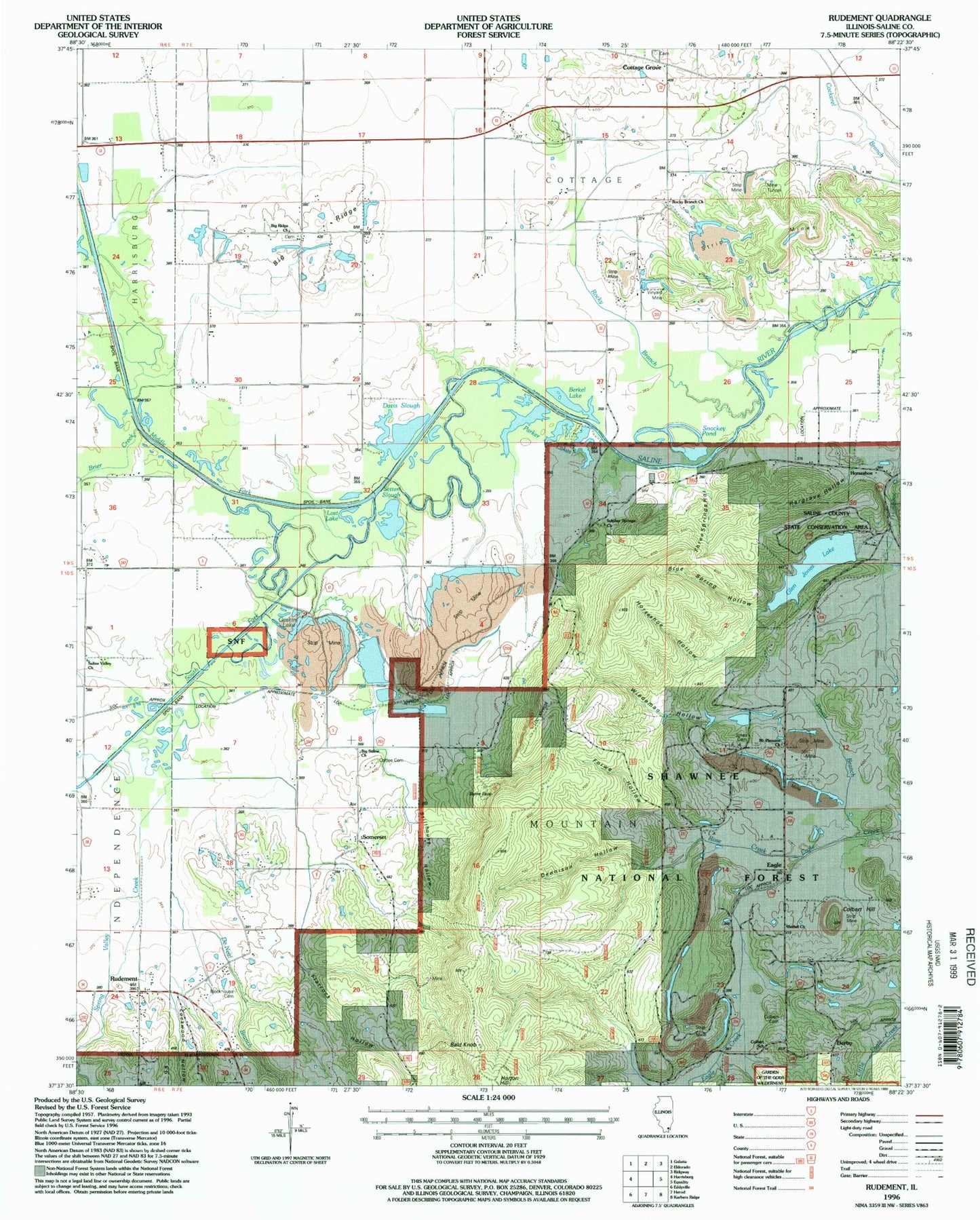
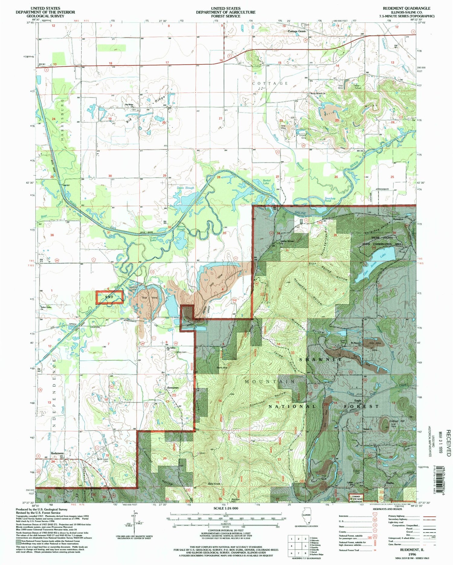
Classic USGS Rudement Illinois 7.5'x7.5' Topo Map
Couldn't load pickup availability
Historical USGS topographic quad map of Rudement in the state of Illinois. Map scale may vary for some years, but is generally around 1:24,000. Print size is approximately 24" x 27"
This quadrangle is in the following counties: Saline.
The map contains contour lines, roads, rivers, towns, and lakes. Printed on high-quality waterproof paper with UV fade-resistant inks, and shipped rolled.
Contains the following named places: Bald Knob, Beech Hollow, Berkel Lake, Bethel Church, Big Ridge, Big Ridge Church, Big Saline Church, Blockhouse Cemetery, Blue Spring Hollow, Brier Creek, Cave Hill, Coffee Cemetery, Colbert Cemetery, Colbert Hill, Colbert School, Cottage Grove, Davis Slough, De Neal Branch, Dennison Hollow, Derby, Eagle, Eagle Mountains, East Big Ridge School, Flatrock Hollow, Forwe Hollow, Gaskin Lake, Glen Jones Lake, Glen O Jones Lake Dam, Grocery Ford, Hargrave Hollow, Horseshoe, Horseshoe Hollow, Jones Cemetery, Jones School, Lockwood Hollow, Lost Lake, Middle Fork Saline River, Mount Pleasant Church, Mud Springs Hollow, Parker Lakes, Pruett Branch, Rocky Branch, Rocky Branch Hollow, Rocky Branch School, Rose Creek, Rudement, Saline County State Conservation Area, Saline Valley Church, Saline Valley School, Saline Valley Store, Sandy Branch, Setten Slough, Snockey Pond, Somerset, South Fork Saline River, Southeastern Illinois College, Spring Valley Creek, Stillhouse Hollow, Stone Face, Sulphur Springs Church, Taylor School, Three Springs Hollow, Township of Cottage, Township of Mountain, Vinyard Mine, West Big Ridge School, West Sulphur School, Whitesville, Wiedeman Hollow


