MyTopo
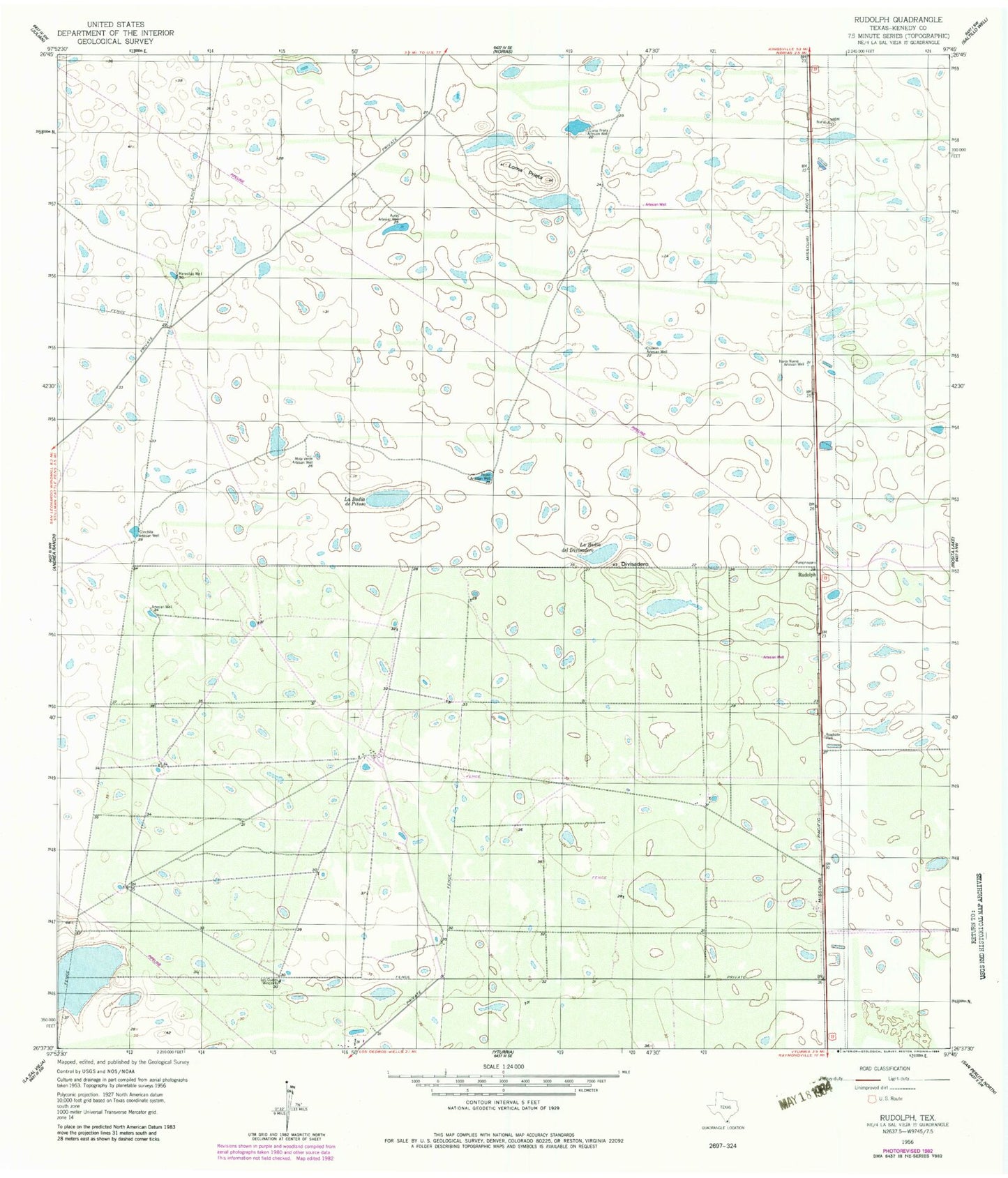
Classic USGS Rudolph Texas 7.5'x7.5' Topo Map
Couldn't load pickup availability
Historical USGS topographic quad map of Rudolph in the state of Texas. Map scale may vary for some years, but is generally around 1:24,000. Print size is approximately 24" x 27"
This quadrangle is in the following counties: Kenedy.
The map contains contour lines, roads, rivers, towns, and lakes. Printed on high-quality waterproof paper with UV fade-resistant inks, and shipped rolled.
Contains the following named places: Auras Artesian Well, Chaleco Artesian Well, Conchita Artesian Well, Divisadero, Garcia Ranch, KSOX-FM (Raymondville), La Badia de Pitoso, La Badia del Divisadero, Loma Prieta, Los Cuates Windmill, Maravillas Well, Mota Verde Artesian Well, Noria Nueva Artesian Well, Pitoso Artesian Well, Rudolph