MyTopo
Classic USGS Rugby Tennessee 7.5'x7.5' Topo Map
Couldn't load pickup availability
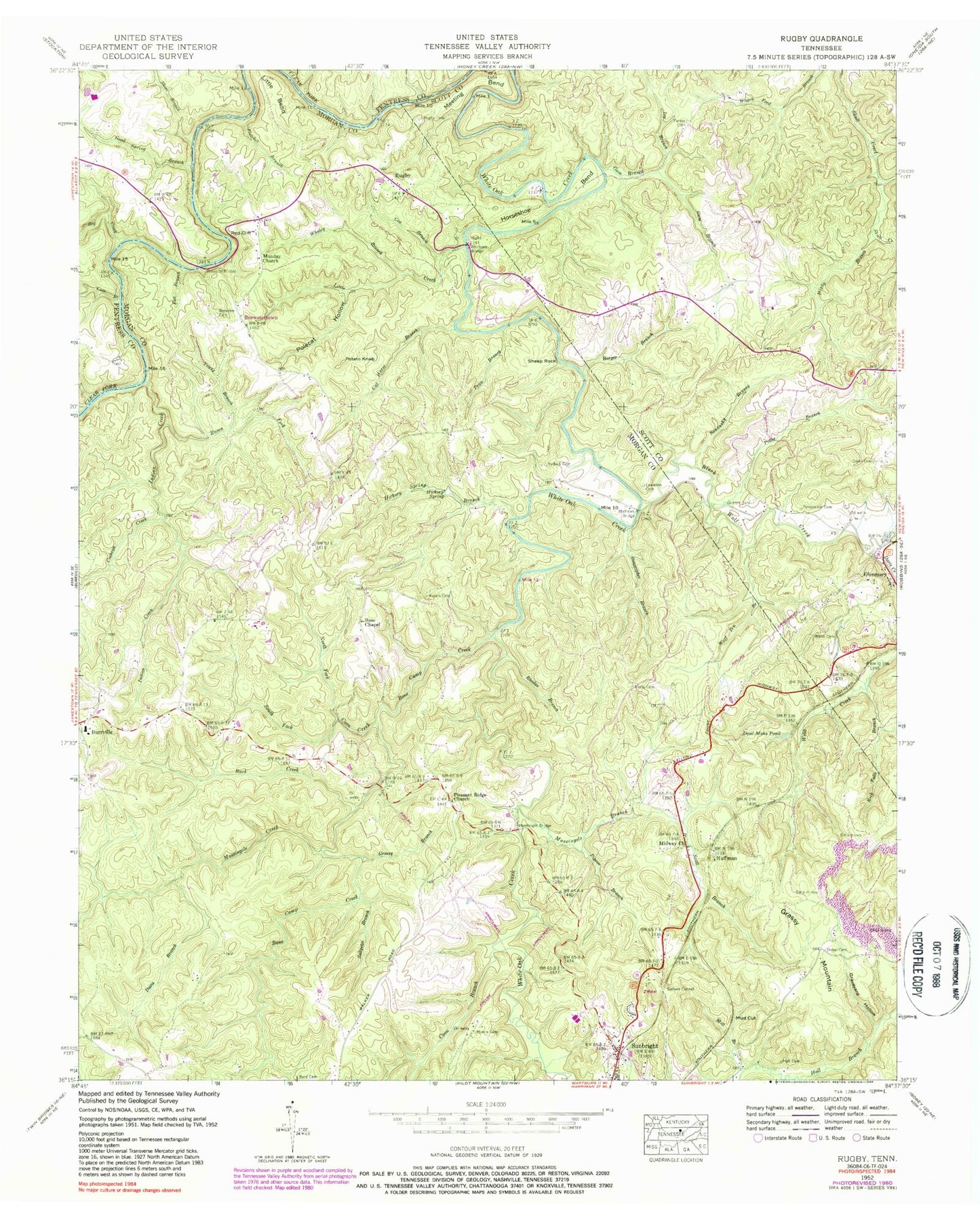
Historical USGS topographic quad map of Rugby in the state of Tennessee. Map scale may vary for some years, but is generally around 1:24,000. Print size is approximately 24" x 27"
This quadrangle is in the following counties: Fentress, Morgan, Scott.
The map contains contour lines, roads, rivers, towns, and lakes. Printed on high-quality waterproof paper with UV fade-resistant inks, and shipped rolled.
Contains the following named places: Barger Branch, Big Creek, Black Wolf Creek, Bone Camp Creek, Brewster Bridge, Brewster Cemetery, Brewstertown, Buck Creek, Burrville Elementary School, Burrville Volunteer Fire Department, Byrd Cemetery, C and M East Farm Dam, C and M East Farm Pond, Cal Hurst Branch, Cave Branch, Christ Episcopal Church, Cochran Creek, Coon Branch, Coon Creek, Coon Hollow, Cox Branch, Davis Branch, Davis Creek, Dawn Cemetery, Dead Mans Pond, Diden Cemetery, Flat Branch, Fletcher Branch, Freels Cemetery, Glenmary Baptist Church, Glenmary School, Goad Spring Branch, Grassy Branch, Grassy Mountain, Graveyard Hollow, Griffith Cemetery, Gum Branch, Hall Cemetery, Hambright Bridge, Hickory Spring, Hickory Spring Branch, Higby Branch, Horseshoe Bend, Huffman, Indian Creek, Ingleside, Ivy Branch, Kingstone Lisle, Lewallen Cemetery, Little Bend, Little Creek, Martin Roost, Mary Bull Hollow, Massingale Branch, Massingale Creek, Mathews Bridge, Meeting Bend, Midway, Midway Church, Mill Branch, Morris Cemetery, Mud Cut, Neely Cemetery, North Fork Coon Creek, Nydeck Cemetery, Oilwell Hollow, Parker Cemetery, Pemperton Cemetery, Pigeon Branch, Pleasant Ridge Cemetery, Pleasant Ridge Church, Polecat Hollow, Potato Knob, Potter Branch, Price Branch, Raven Fork, Red Cliff, Rhodas Branch, Rock Falls Branch, Rose Chapel, Roslyn, Rugby, Rugby Cemetery, Rugby School, Ruralia, Saltpeter Branch, Sandusky Branch, Scott Branch, Sheep Rock, Short Branch, Sixteen Tunnel, South Fork Coon Creek, Stonecipher Branch, Sunbright Division, The Lindens, Thomas Hughes Public Library, Twin Oaks, Walton Court, Webb Cemetery, Whaley Branch, Whiteoak Bridge, Wolf Pen Branch, Young Branch, ZIP Codes: 37733, 37872