MyTopo
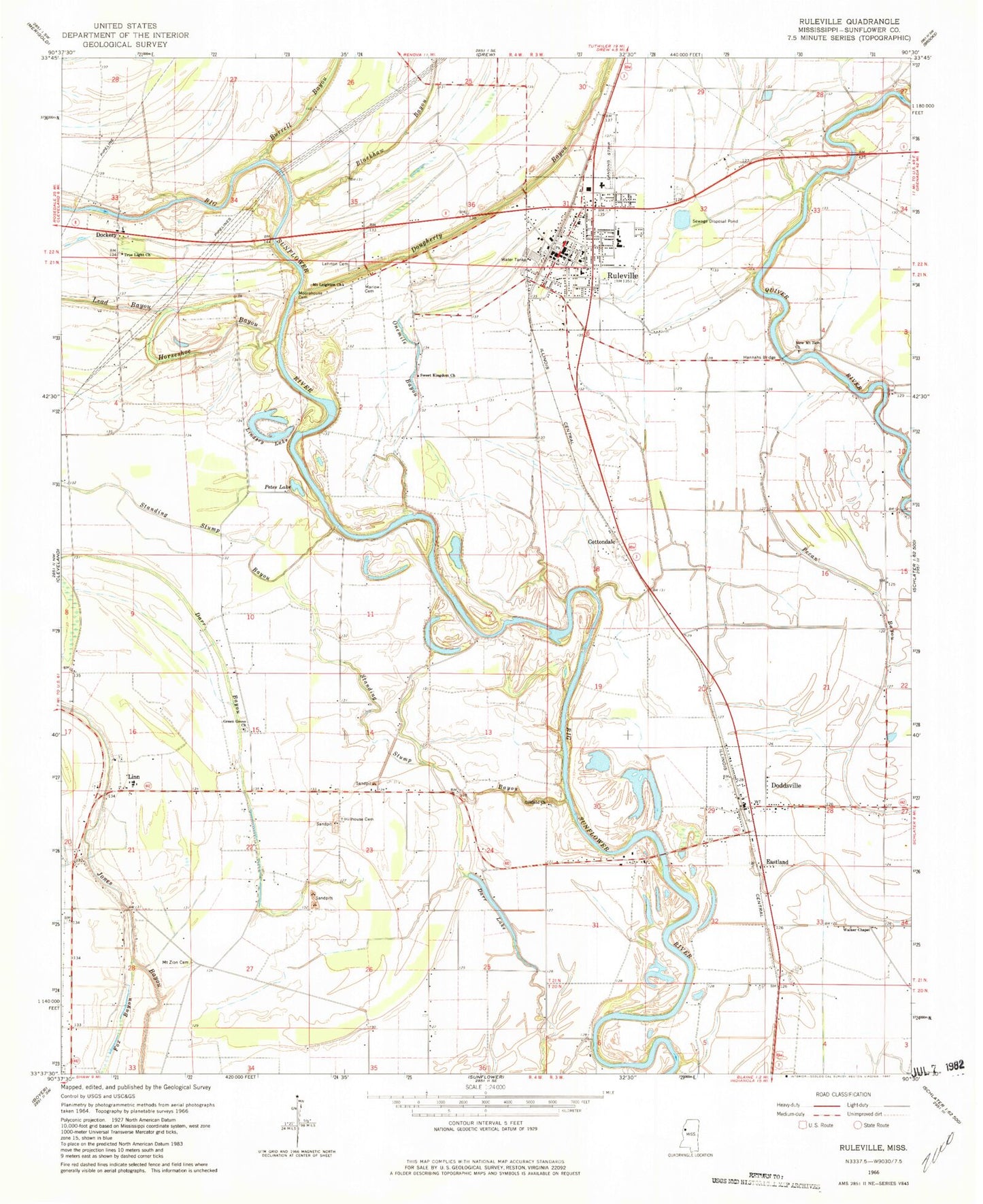
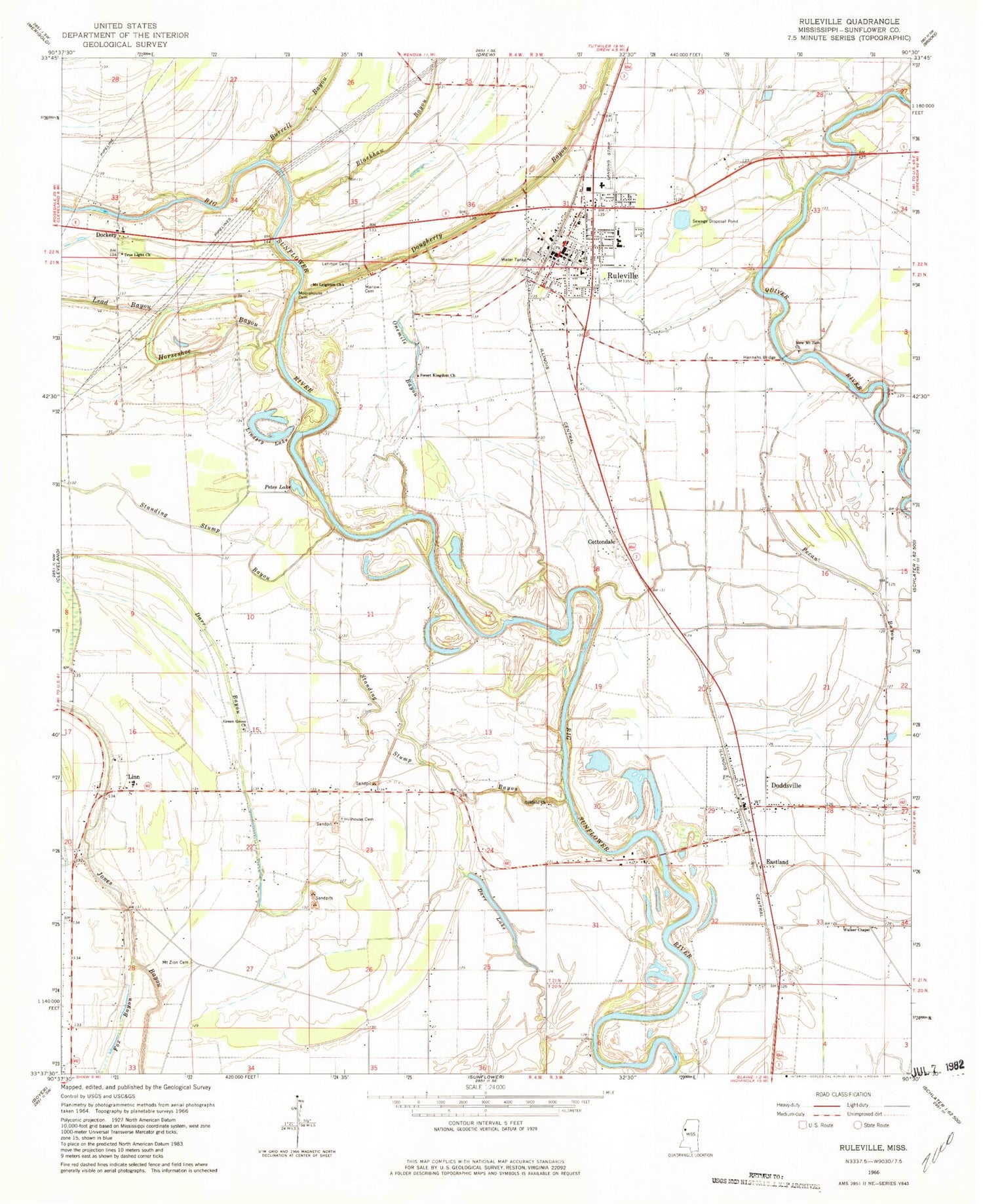
Classic USGS Ruleville Mississippi 7.5'x7.5' Topo Map
Couldn't load pickup availability
Historical USGS topographic quad map of Ruleville in the state of Mississippi. Map scale may vary for some years, but is generally around 1:24,000. Print size is approximately 24" x 27"
This quadrangle is in the following counties: Sunflower.
The map contains contour lines, roads, rivers, towns, and lakes. Printed on high-quality waterproof paper with UV fade-resistant inks, and shipped rolled.
Contains the following named places: Big Eddy Bend, Blackhaw Bayou, Burrell Bayou, Central High School, Church of Christ, City of Ruleville, Cottondale, Darr Lake, Dewberry Ferry, Dockery, Dockery Baptist Church, Dockery School, Doddsville, Doddsville Industrial Institute, Doddsville Post Office, Dougherty Bayou, Eastland, Fairview Church, Gillfield Church, Green Grove Church, Hannahs Bridge, Hillhouse Cemetery, Horace Chapel, Horseshoe Bayou, Keys Deadening, Lead Bayou, Lehrton, Lehrton Cemetery, Lindsey Lake, Linn, Linn Baptist Church, Linn High School, Linn Methodist Church, Lion Brake, Mallalieu United Methodist Church, Marlow Cemetery, Marlow School, Moorehouse Cemetery, Mount Galilee Church, Mount Galilee School, Mount Leighton Church, Mount Zion Cemetery, Mount Zion Church, New Jerusalem Church, New Mount Zion Church, North Sunflower Medical Center, Old Jerusalem Church, Old Lehrton Bridge, Onemile Bayou, Petes Lake, Quiver, Ricoe School, Ruleville, Ruleville Baptist Church, Ruleville City Hall, Ruleville Health Care Center, Ruleville Junior High School, Ruleville Lagoon Dam, Ruleville Memorial Park, Ruleville Police Department, Ruleville Post Office, Ruleville Public Library, Ruleville United Methodist Church, Ruleville Volunteer Fire Department, Standing Stump, Standing Stump Bayou, Sweet Kingdom Church, Town of Doddsville, True Light Church, Union Temple, Walker Chapel, ZIP Codes: 38736, 38771


