MyTopo
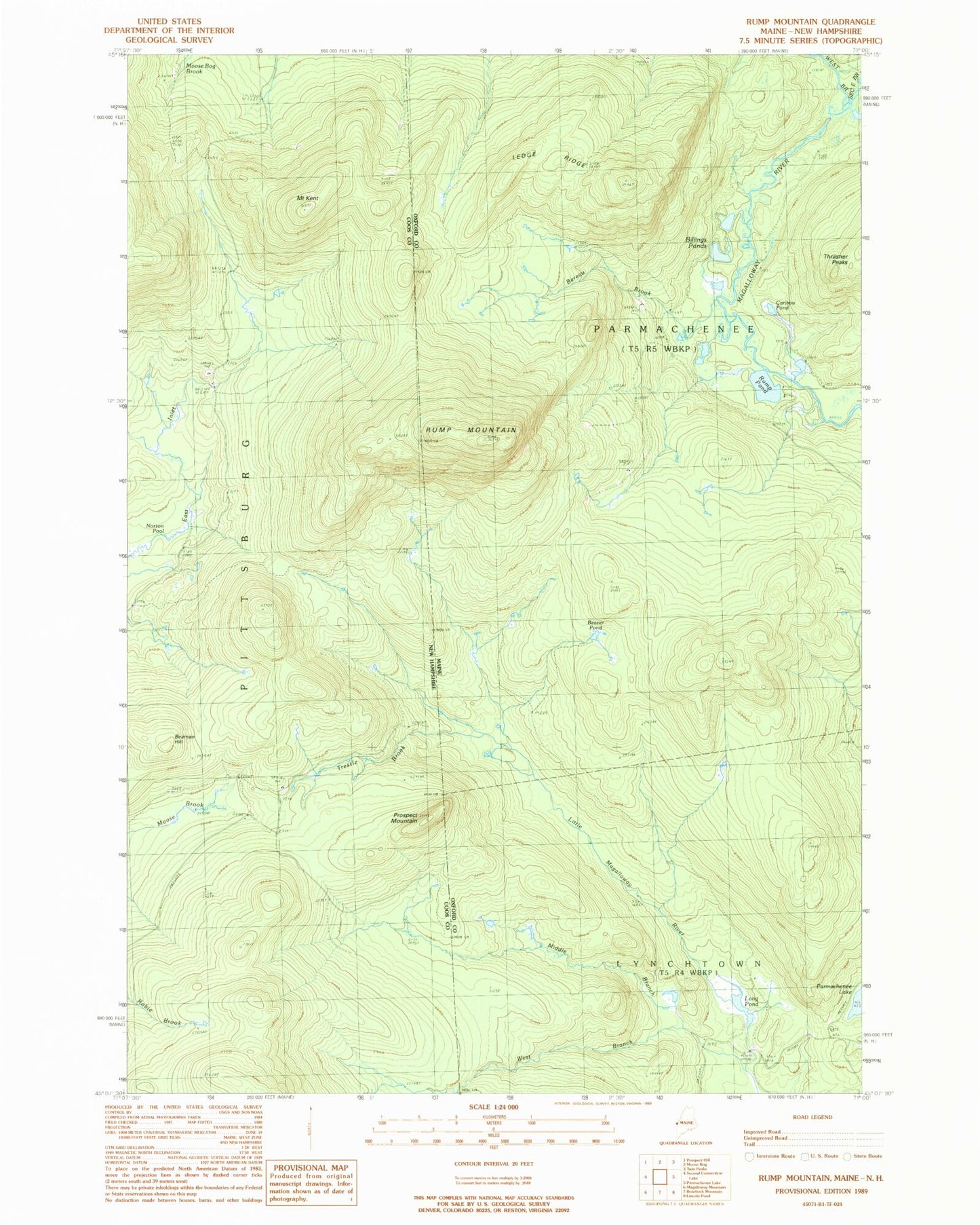
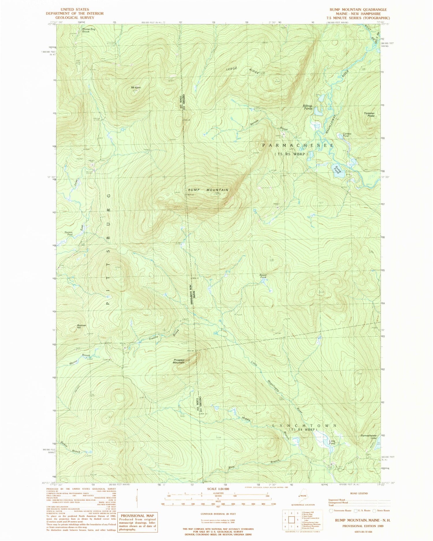
Classic USGS Rump Mountain Maine 7.5'x7.5' Topo Map
Couldn't load pickup availability
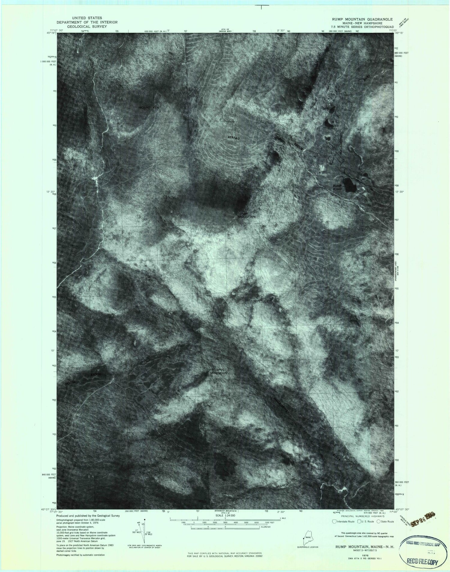
Historical USGS topographic quad map of Rump Mountain in the states of Maine, New Hampshire. Typical map scale is 1:24,000, but may vary for certain years, if available. Print size: 24" x 27"
This quadrangle is in the following counties: Coos, Oxford.
The map contains contour lines, roads, rivers, towns, and lakes. Printed on high-quality waterproof paper with UV fade-resistant inks, and shipped rolled.
Contains the following named places: Beaver Pond, Bereau Brook, Billings Ponds, Caribou Pond, Ledge Ridge, Long Pond, Middle Branch Little Magalloway River, Rump Mountain, Rump Pond, Second East Branch Magalloway River, Trestle Brook, West Branch Little Magalloway River, West Branch Magalloway River, Camp Number Thirty-Two (historical), Camp Number Thirty-Four (historical), Depot Camp (historical), Beaman Hill, Mount Kent, Norton Pool, Prospect Mountain, Camp Number 32 (historical), Camp Number 36 (historical)