MyTopo
Classic USGS Rupert Idaho 7.5'x7.5' Topo Map
Couldn't load pickup availability
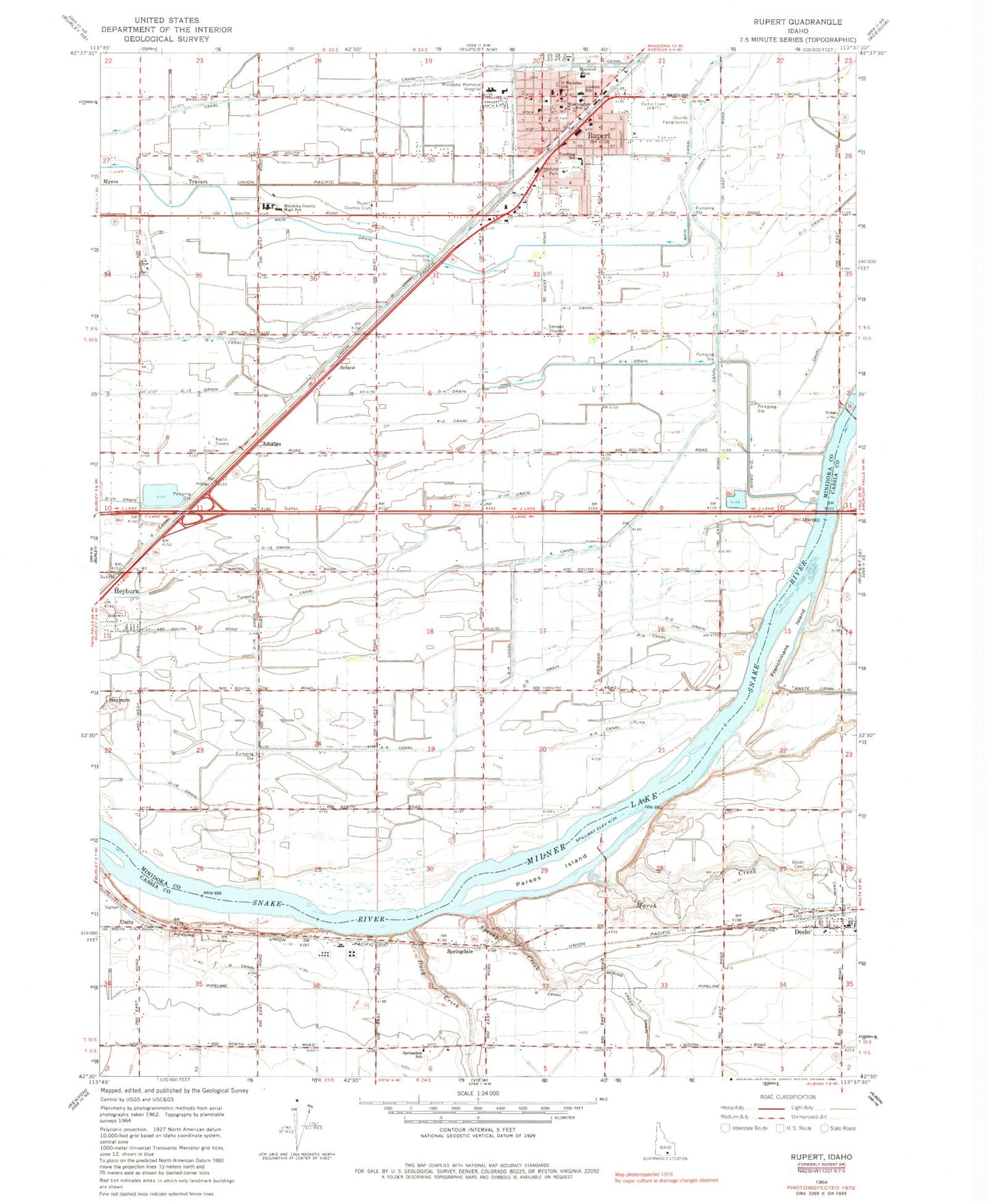
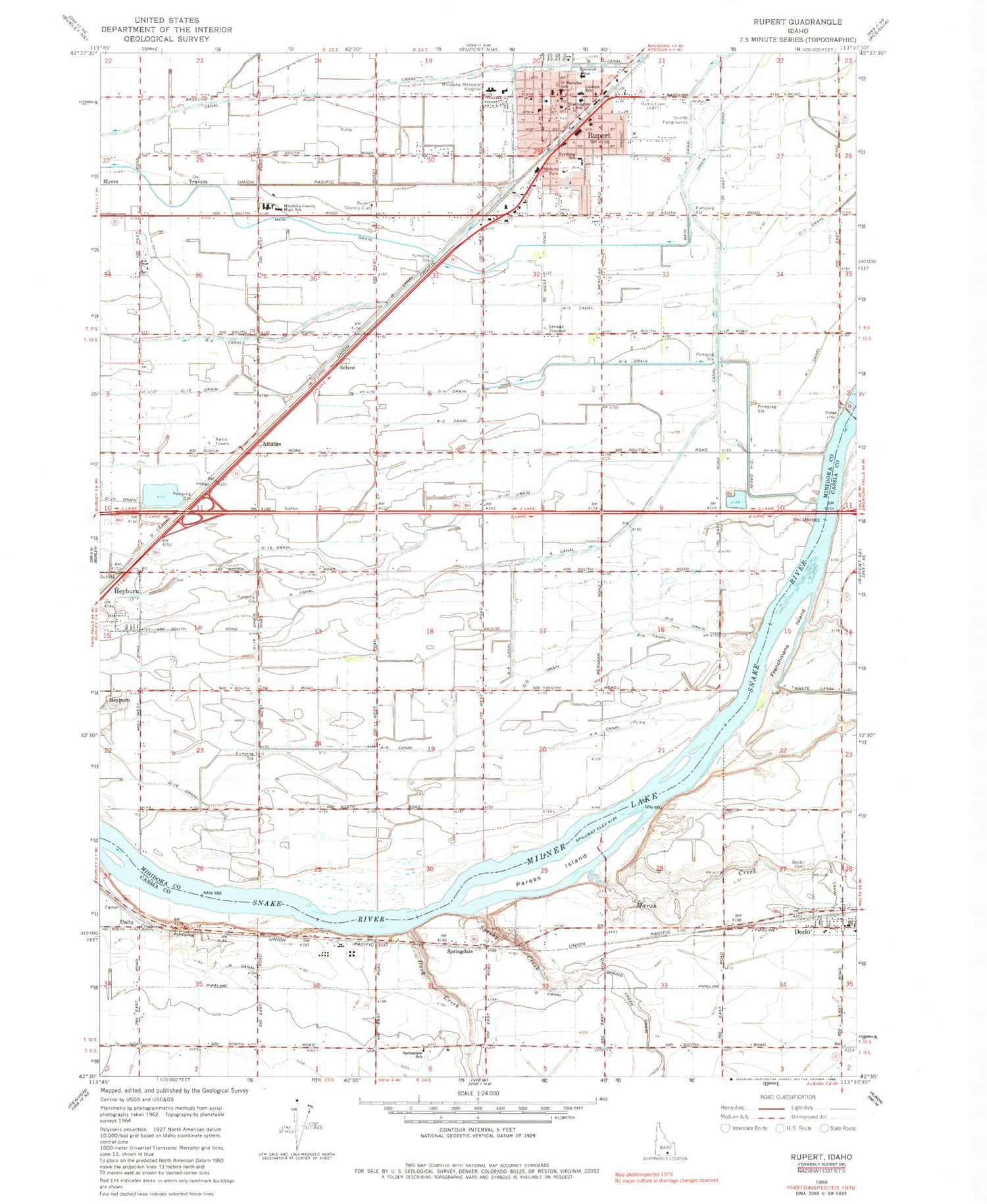
Historical USGS topographic quad map of Rupert in the state of Idaho. Map scale may vary for some years, but is generally around 1:24,000. Print size is approximately 24" x 27"
This quadrangle is in the following counties: Cassia, Minidoka.
The map contains contour lines, roads, rivers, towns, and lakes. Printed on high-quality waterproof paper with UV fade-resistant inks, and shipped rolled.
Contains the following named places: A-3 Canal, A-4 Canal, A-5 Canal, Amalga, B Canal, City of Declo, City of Rupert, Danny Turner Pipeline, Declo, Declo Cemetery, Declo Drain, Declo Elementary School, Declo Post Office, D-Fifteen Drain, D-Five Drain, D-Four Drain, D-Sixteen Drain, Duck Creek, Emerald Lake, F Waste Canal, G 11 A Lateral, G 11 Lateral, G 2 Lateral, G 7 A Lateral, G 8 Lateral, G 9 Lateral, H 12 N Lateral, H 16 F Lateral, H 16 H Lateral, H 16 J Lateral, H 16 K Lateral, H 2 A Lateral, H 2 D Lateral, H 2 Lateral, H 4 A Lateral, H 4 Lateral, KBBK-AM (Rupert), KNAQ-FM (Rupert), Lincoln School, Marsh Creek, Mini - Cassia Juvenile Detention Center, Minico Senior High School, Minidoka County Sheriff's Office, Minidoka Memorial Hospital, Minidoka Memorial Hospital Heliport, Minidoka Pond Access Area, Mount Harrison Junior - Senior High School, Neptune Park, North Cassia Rural Fire Department, Parees Island, Pershing Intermediate School, Rupert, Rupert City Fire and Rescue Department, Rupert Country Club, Rupert Police Department, Rupert Post Office, Saint Nicholas School, Schow, Spring Creek, Springdale, Springdale Kindergarten School, Travers, Unity, Washington School


