MyTopo
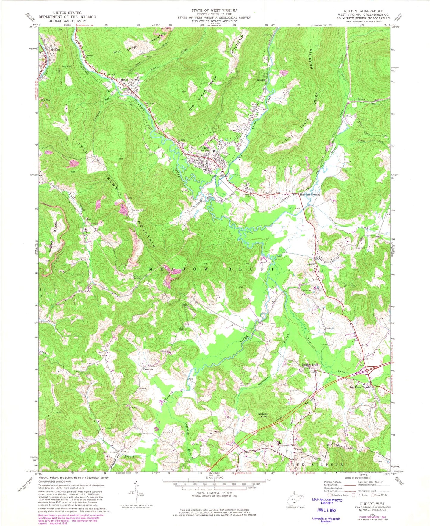
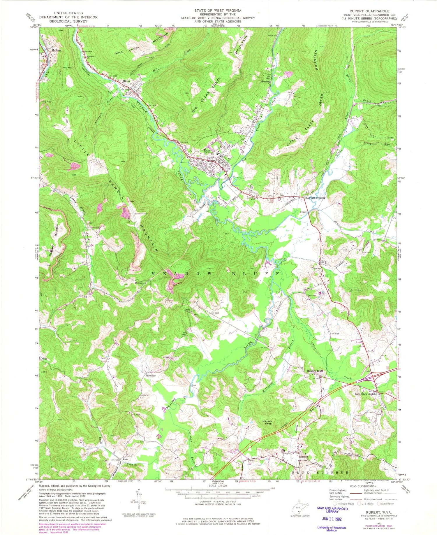
Classic USGS Rupert West Virginia 7.5'x7.5' Topo Map
Couldn't load pickup availability
Historical USGS topographic quad map of Rupert in the state of West Virginia. Map scale may vary for some years, but is generally around 1:24,000. Print size is approximately 24" x 27"
This quadrangle is in the following counties: Greenbrier.
The map contains contour lines, roads, rivers, towns, and lakes. Printed on high-quality waterproof paper with UV fade-resistant inks, and shipped rolled.
Contains the following named places: Amwell Baptist Church, Beaver Creek, Big Clear Creek, Big Clear Creek School, Bivens School, Brown School, Callahan Branch, Charmco Church, Collison Branch, Crag, Crawley, Crawley Post Office, Crawley School, Dennis, Eagle Branch, Fairview, Farmdale, Frame School, Goddard Mountain, Greenbrier County Sheriff's Office, Hines, Hines Post Office, Kessler, Kessler Post Office, Liberty School, Little Clear Creek, Little Sewell Mountain, McRoss, Meadow Bluff, Meadow Bluff Post Office, Meadow River Wildlife Management Area, Meadowdale School, Methodist Branch, Mill Creek, Mount Lookout School, Nichols Knob, Old Amwell Cemetery, Opossum Hollow, Otter Creek, Rader Run, Rainelle Airport, Relihan School, Rupert, Rupert Elementary School, Rupert Elementary-Junior High School, Rupert Post Office, Rupert Public Library, Rupert Volunteer Fire Department, Saint Johns Church, Sam Black Bridge, Sam Black Church, Sharp School, Shawvers Crossing, Smoot, Smoot Branch, Smoot Elementary School, Smoot Elementary-Junior High School, Smoot Post Office, Soule Chapel, State Flower School, Stony Run, Sugar Grove School, Tincher Post Office, Town of Rupert, Vale, Western Greenbrier Middle School, WYKM-AM (Rupert), ZIP Code: 24977


