MyTopo
Classic USGS Rural Valley Pennsylvania 7.5'x7.5' Topo Map
Couldn't load pickup availability
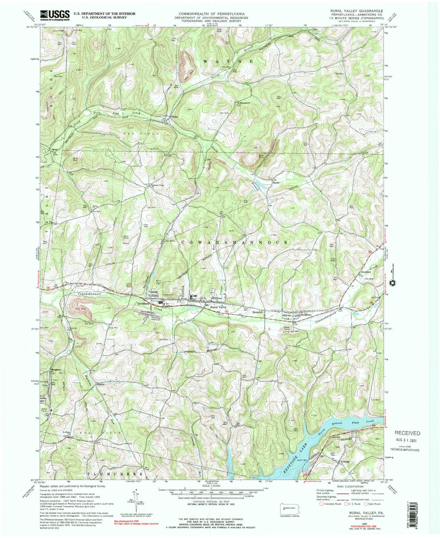
Historical USGS topographic quad map of Rural Valley in the state of Pennsylvania. Typical map scale is 1:24,000, but may vary for certain years, if available. Print size: 24" x 27"
This quadrangle is in the following counties: Armstrong.
The map contains contour lines, roads, rivers, towns, and lakes. Printed on high-quality waterproof paper with UV fade-resistant inks, and shipped rolled.
Contains the following named places: Atwood, Bryan, Craigs Run, Huskins Run, Keystone Lake, Meredith, North Branch South Fork Pine Creek, NuMine, Pleasant Union Church, Rural Valley, Saint Michaels Church, Saint Pauls Church, Salem Church, Smeltzer, South Branch South Fork Pine Creek, Yatesboro, Green Oak, North Star, South Branch Cowanshannock Creek, Blanco, Echo, Margaret, Oscar, Shannock Valley Elementary School, Shannock Valley High School, Lumstead, Rose Valley, Echo Post Office (historical), Borough of Atwood, Borough of Rural Valley, Township of Cowanshannock, Rural Valley Hose Company Station 210, Nu Mine Post Office, Yatesboro Post Office, Atwood Cemetery, Sowers Cemetery, Echo Methodist Episcopal Church Cemetery, Elgin - Old Presbyterian Cemetery, Harkleroad Cemetery, McIntosh Cemetery, Pleasant Union Cemetery, Rural Valley Cemetery, Saint Marys Catholic Cemetery, Saint Michaels Episcopal Cemetery, Saint Pauls Cemetery, Salem United Church of Christ Cemetery, Schrecengost Farm Cemetery, Rural Valley Post Office, Rural Valley Borough Police Department


