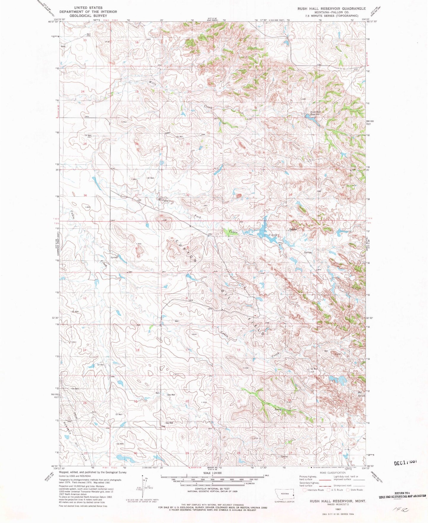
MyTopo
Classic USGS Rush Hall Reservoir Montana 7.5'x7.5' Topo Map
Regular price
$16.95
Regular price
Sale price
$16.95
Unit price
per
Couldn't load pickup availability
Historical USGS topographic quad map of Rush Hall Reservoir in the state of Montana. Map scale may vary for some years, but is generally around 1:24,000. Print size is approximately 24" x 27"
This quadrangle is in the following counties: Fallon.
The map contains contour lines, roads, rivers, towns, and lakes. Printed on high-quality waterproof paper with UV fade-resistant inks, and shipped rolled.
Contains the following named places: 10N58E25AA__01 Well, 10N59E15ABD_01 Well, 10N59E22DD__01 Well, Cupton Oil Field, Hall Dam, Keirle Dam, Keirle Number 3 Dam, Rush Hall Fishing Access Site, Rush Hall Reservoir