MyTopo
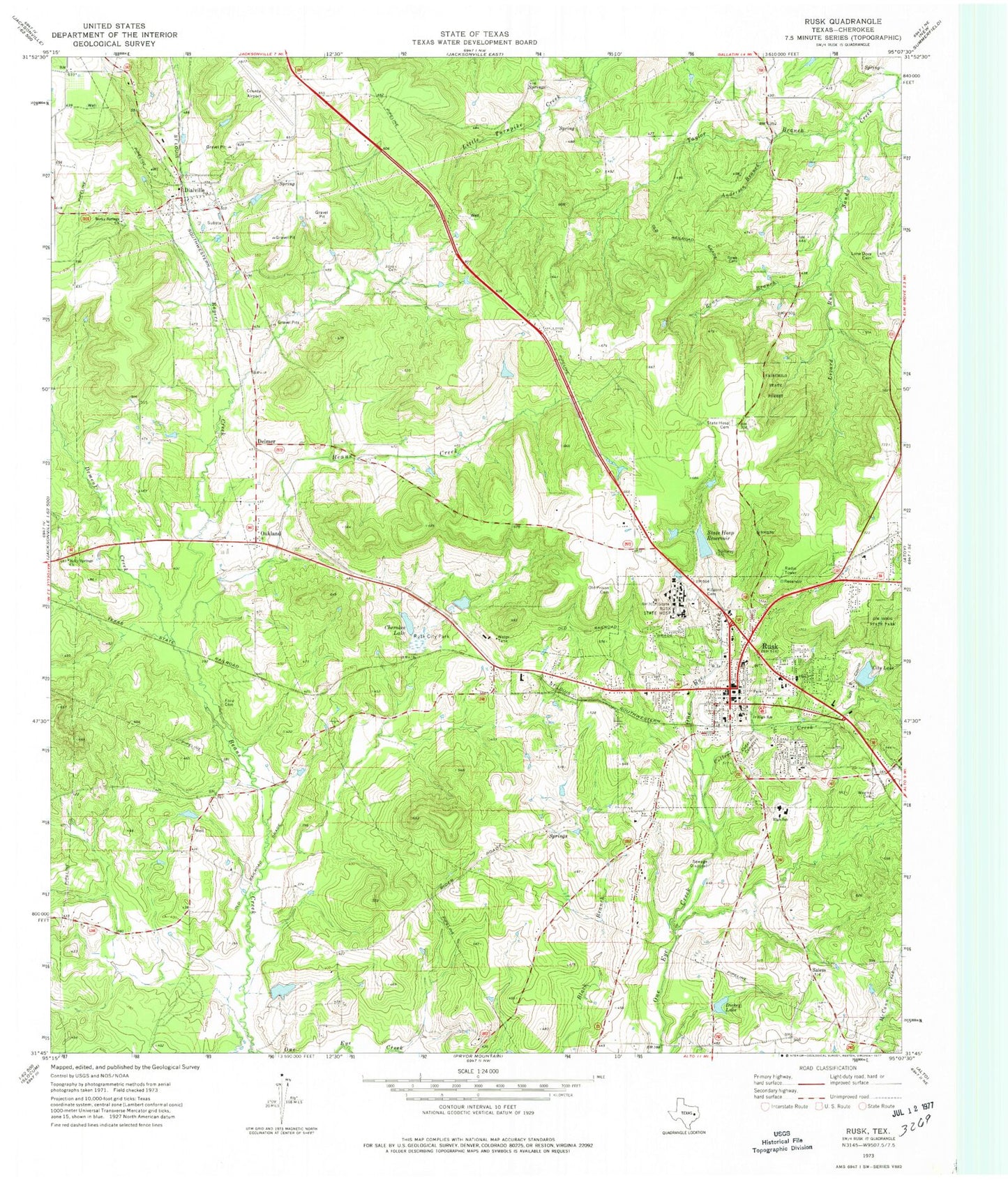
Classic USGS Rusk Texas 7.5'x7.5' Topo Map
Couldn't load pickup availability
Historical USGS topographic quad map of Rusk in the state of Texas. Map scale may vary for some years, but is generally around 1:24,000. Print size is approximately 24" x 27"
This quadrangle is in the following counties: Cherokee.
The map contains contour lines, roads, rivers, towns, and lakes. Printed on high-quality waterproof paper with UV fade-resistant inks, and shipped rolled.
Contains the following named places: Anderson Branch, Beans Creek, Castalian Springs, Cedar Hill Cemetery, Cherokee County, Cherokee County Airport, Cherokee County Constable's Office Precinct 2, Cherokee County Jail, Cherokee County Sheriff's Office, Cherokee Lake, City Lake, City of Rusk, College Creek, Delmer, Dement Creek, Dialville, Dickey Lake, First Baptist Church, First Congreational Methodist Church, First Presbyterian Church of Rusk, Ford Cemetery, Holly Springs Church, Hospital Lake Dam, Jim Hogg State Park, Jones Cemetery, Kilgore Family Cemetery, KTLU-AM (Rusk), KWRW-FM (Rusk), Lizard Run, Lone Dove Cemetery, McPeak Springlake Ranch Dam, McPeak Springlake Ranch Lake, Norman Memorial Museum, Oakland, Old Prison Cemetery, One Eye Creek, Rocky Springs Church, Rogers Creek, Rowe Branch, Rowe Cemetery, Rusk, Rusk City Hall, Rusk City Lake, Rusk City Lake Dam, Rusk City Park, Rusk Division, Rusk Elementary School, Rusk Ore Mine Dam, Rusk Ore Mine Reservoir, Rusk Police Department, Rusk Post Office, Rusk Primary School, Rusk State Hospital, Rusk Volunteer Fire Department, Salem, Salem Cemetery, State Hospital Cemetery, State Hospital Reservoir, Stovall Lake, Stovall Lake Dam, Taylor Branch, Texas Department of Criminal Justice Jerry H Hodge Unit, Texas Department of Criminal Justice Skyview Unit, Texas Parks and Wildlife Department Law Enforcement Division Office, Texas State Railroad State Historical Park, Weems Cemetery, ZIP Code: 75785


