MyTopo
Classic USGS Ruskosky Ridge Montana 7.5'x7.5' Topo Map
Regular price
$16.95
Regular price
Sale price
$16.95
Unit price
per
Couldn't load pickup availability
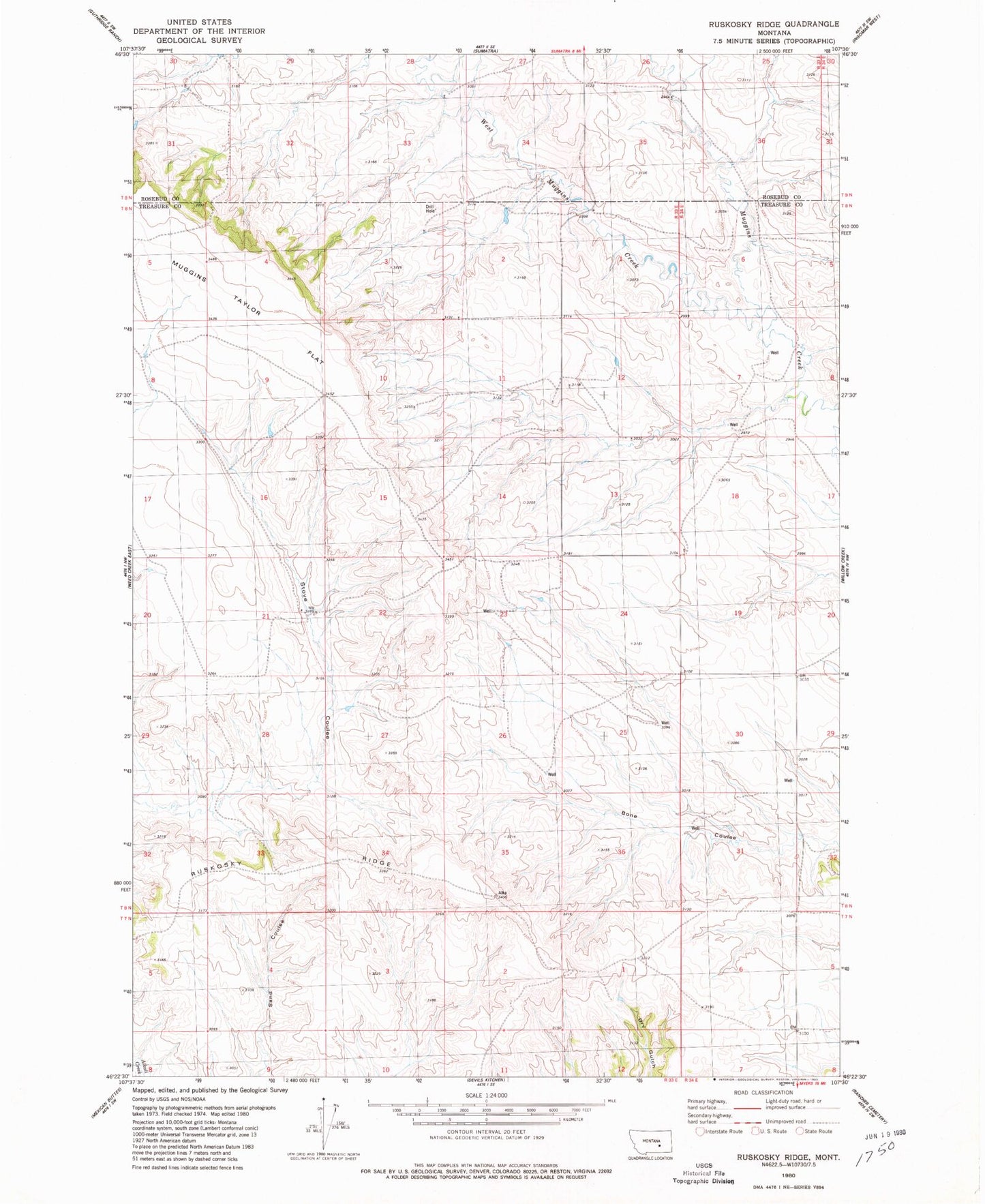
Historical USGS topographic quad map of Ruskosky Ridge in the state of Montana. Map scale may vary for some years, but is generally around 1:24,000. Print size is approximately 24" x 27"
This quadrangle is in the following counties: Rosebud, Treasure.
The map contains contour lines, roads, rivers, towns, and lakes. Printed on high-quality waterproof paper with UV fade-resistant inks, and shipped rolled.
Contains the following named places: 08N33E12CBBD01 Well, 08N33E23BDCD01 Well, 08N33E26A___01 Well, 08N34E06DBAB01 Well, Bone Coulee, Burch School, Liberty Valley School, Muggins Taylor Flat, Ruskosky Ridge, Van Wright School, West Muggins Creek