MyTopo
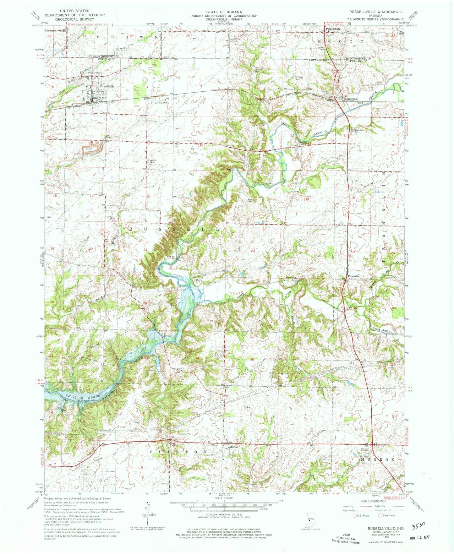
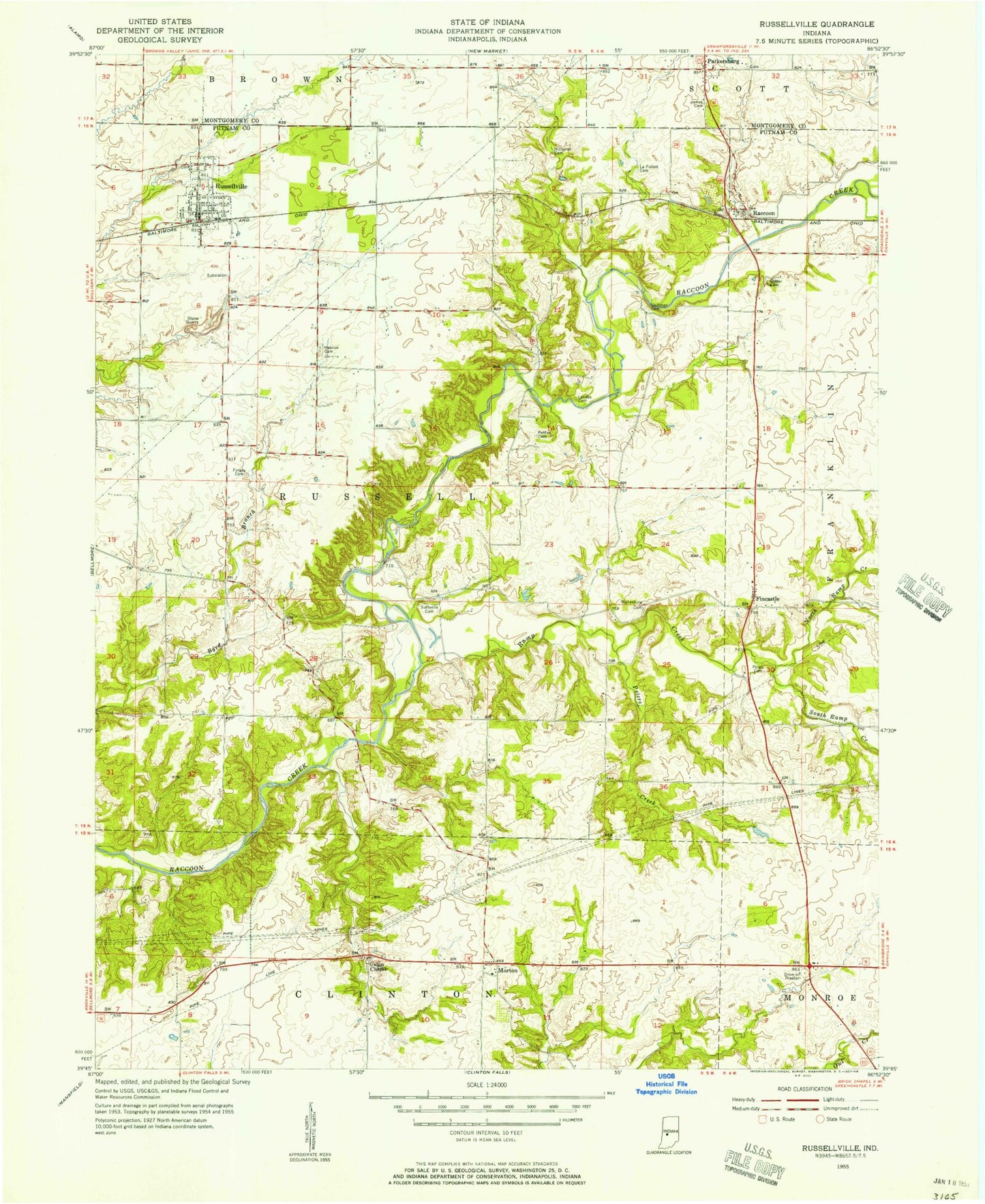
Classic USGS Russellville Indiana 7.5'x7.5' Topo Map
Couldn't load pickup availability
Historical USGS topographic quad map of Russellville in the state of Indiana. Map scale may vary for some years, but is generally around 1:24,000. Print size is approximately 24" x 27"
This quadrangle is in the following counties: Montgomery, Putnam.
The map contains contour lines, roads, rivers, towns, and lakes. Printed on high-quality waterproof paper with UV fade-resistant inks, and shipped rolled.
Contains the following named places: 4 Winds Aerodrome, 46175, Bakesburg Cemetery, Blakesburg, Durham Airport, Fincastle, Forgey Cemetery, Grider Cemetery, Hebron Cemetery, James Cemetery, LaFollette Cemetery, Landes Cemetery, Morton, Nicolas Cemetery, North Ramp Creek, Parkersburg, Peffley Cemetery, Peters Creek, Pickle Cemetery, Raccoon, Ramp Creek, Russellville, Russellville and Community Volunteer Fire Department, Russellville Elementary School, Russellville Post Office, Russellville Town Marshal's Office, Skillman Cemetery, South Ramp Creek, Sutherlin Cemetery, Town of Russellville, Township of Russell, Union Chapel