MyTopo
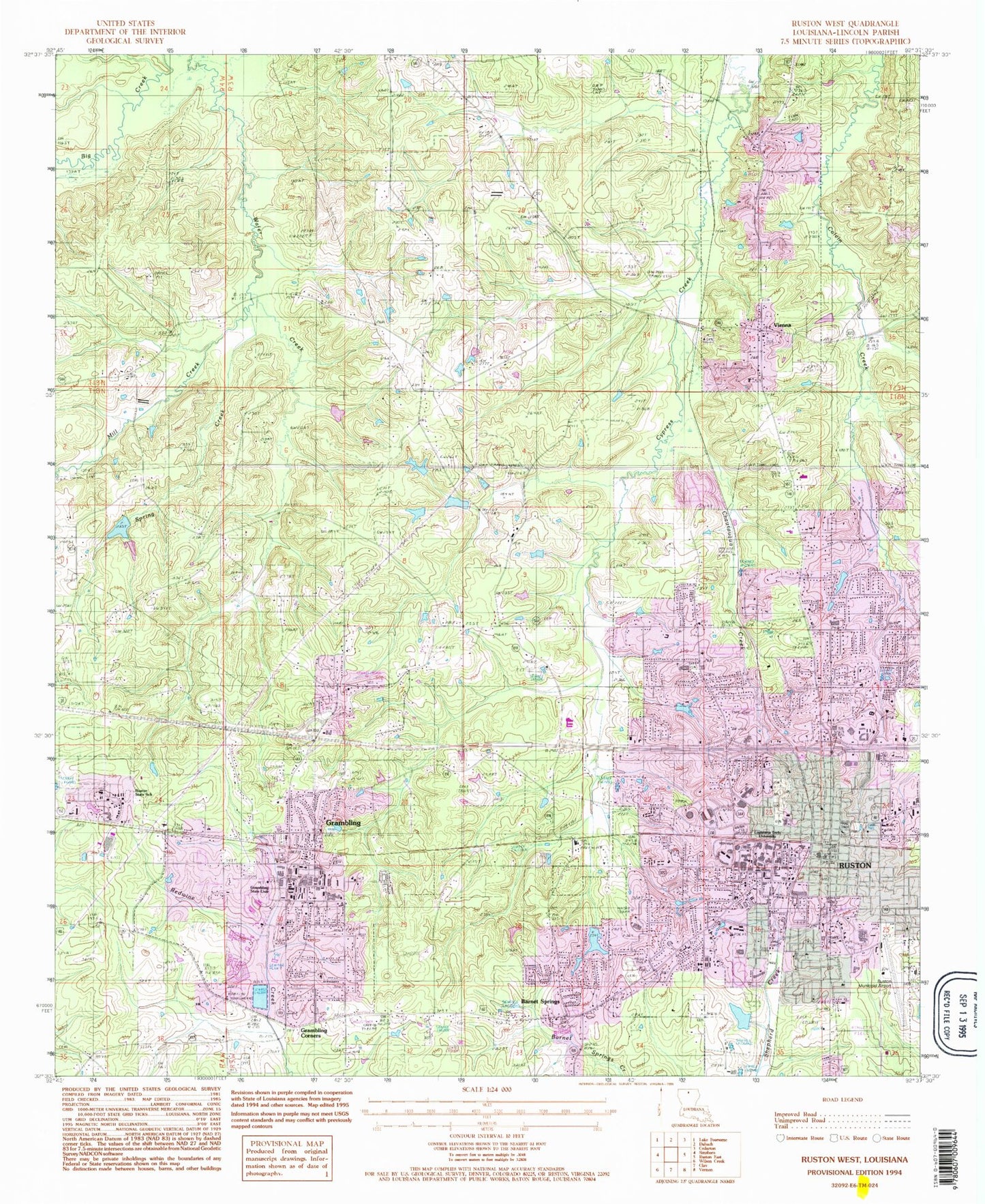
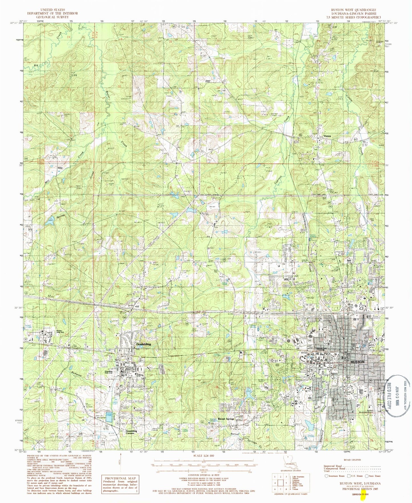
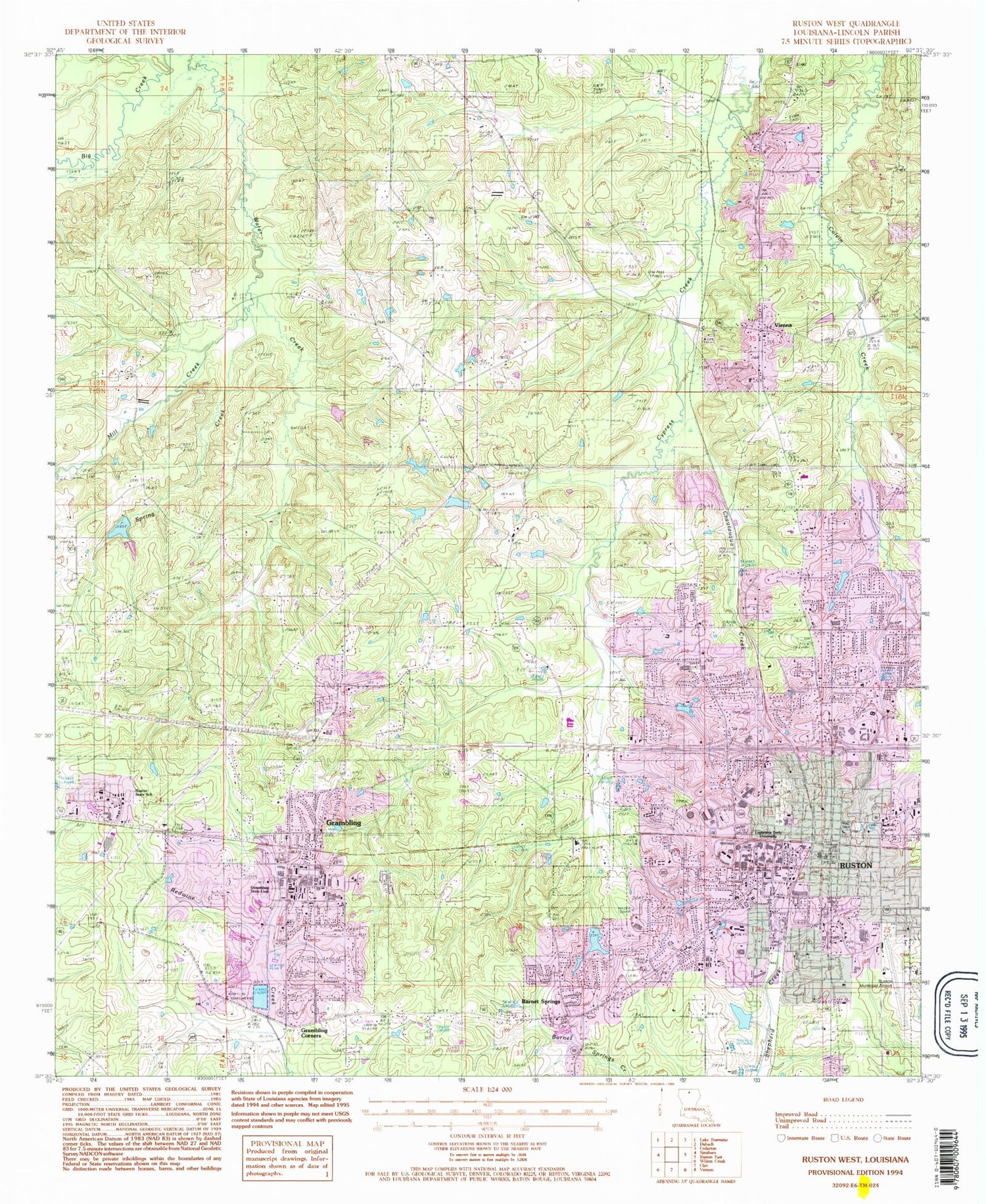
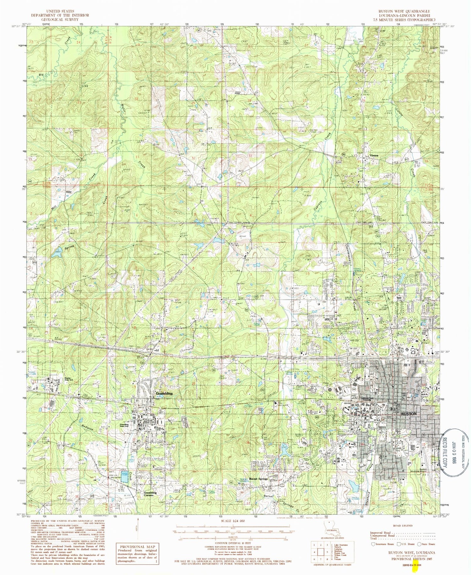
Classic USGS Ruston West Louisiana 7.5'x7.5' Topo Map
Couldn't load pickup availability
Historical USGS topographic quad map of Ruston West in the state of Louisiana. Map scale may vary for some years, but is generally around 1:24,000. Print size is approximately 24" x 27"
This quadrangle is in the following counties: Lincoln.
The map contains contour lines, roads, rivers, towns, and lakes. Printed on high-quality waterproof paper with UV fade-resistant inks, and shipped rolled.
Contains the following named places: A E Phillips Laboratory School, A J Brown Elementary School, Allegiance Behavioral Health Center of Ruston, Allegiance Health Center of Ruston, Antioch, Antioch School, Antioch United Methodist Church, Barnet Springs, Barnet Springs Baptist Church, Calcote - Watts Cemetery, Calvary Baptist Church, Central Community Church of God, Chautauqua Creek, Church of the Nazarene, City of Grambling, City of Ruston, Cook Baptist Church, Cooktown, Cypress Springs Elementary School, Cypress Springs Lake Dam, Cypress Springs Missionary Baptist Church, Episcopal Church of the Redeemer, Faith United Methodist Church, Farmer Spur, First Assembly of God Church, First Baptist Church, Glen View Elementary School, Grambling, Grambling Church of Christ, Grambling Corners, Grambling Fire Department, Grambling Police Department, Grambling Post Office, Grambling State University, Grambling State University Middle Magnet School, Green Clinic Surgical Hospital, Greenwood Cemetery, Greenwood Church, Greenwood School, Gullatt Cemetery, Hillcrest Elementary School, Hoogland's Plant Farm, KGRM-FM (Grambling), KLPI-FM (Ruston), KRUS-AM (Ruston), La Mesa, La Tech Farm Pond Dam, Lathen School, Lewis Middle School, Liberty Hill School, Lincoln Center School, Lincoln General Hospital, Lincoln Parish, Lincoln Parish Career Academy School, Lincoln Parish Courthouse, Lincoln Parish Fire Protection District 1, Lincoln Parish Library, Lincoln Parish Sheriff's Office, Lincoln Preparatory School, Lorraine Nobles Howard Education Center, Louisiana Delta Community College Ruston Campus, Louisiana Methodist Childrens Home, Louisiana Technical University, Love Chapel Baptist Church, Margaret Roane Developmental Center, Mays Chapel Christian Methodist Episcopal Church, Memorial Park, Mill Creek, Mitcham Farms, Montessori School of Ruston, Mount Olive, Mount Olive Baptist Church, Mount Olive Cemetery, Mount Olive School, Mount Zion Baptist Church, North Park Mall Shopping Center, Northeast Supports and Services Center School, Northern Louisiana Medical Center, Parish Governing Authority District 1, Parish Governing Authority District 12, Parish Governing Authority District 1A, Parish Governing Authority District 1G, Parish Governing Authority District 2, Parish Governing Authority District 2A, Parish Governing Authority District 2B, Parish Governing Authority District 6, Parish Governing Authority District 7, Parish Governing Authority District 9, Pilgrim Rest Baptist Church, Piney Grove Church, Prescott Memorial Library, Ruston, Ruston Baptist Church, Ruston Church of Christ, Ruston City Hall, Ruston Country Club, Ruston Fire Department Station 1, Ruston Gas Field, Ruston High School, Ruston Junior High School, Ruston Municipal Airport, Ruston Police Department, Ruston Post Office, Ruston Presbyterian Church, Ruston State School, Saint Benedict Catholic Church, Saint Mary Baptist Church, Southside Baptist Church, Spring Creek, Temple Baptist Church, The Church of Jesus Christ of Latter Day Saints, Town of Vienna, Trinity United Methodist Church, Twin Oaks Nursery, University Baptist Church, Vienna, Village Plaza Shopping Center, Waldron Cemetery, Ward One, Ward Two, Wilder Cemetery, ZIP Codes: 71245, 71272


