MyTopo
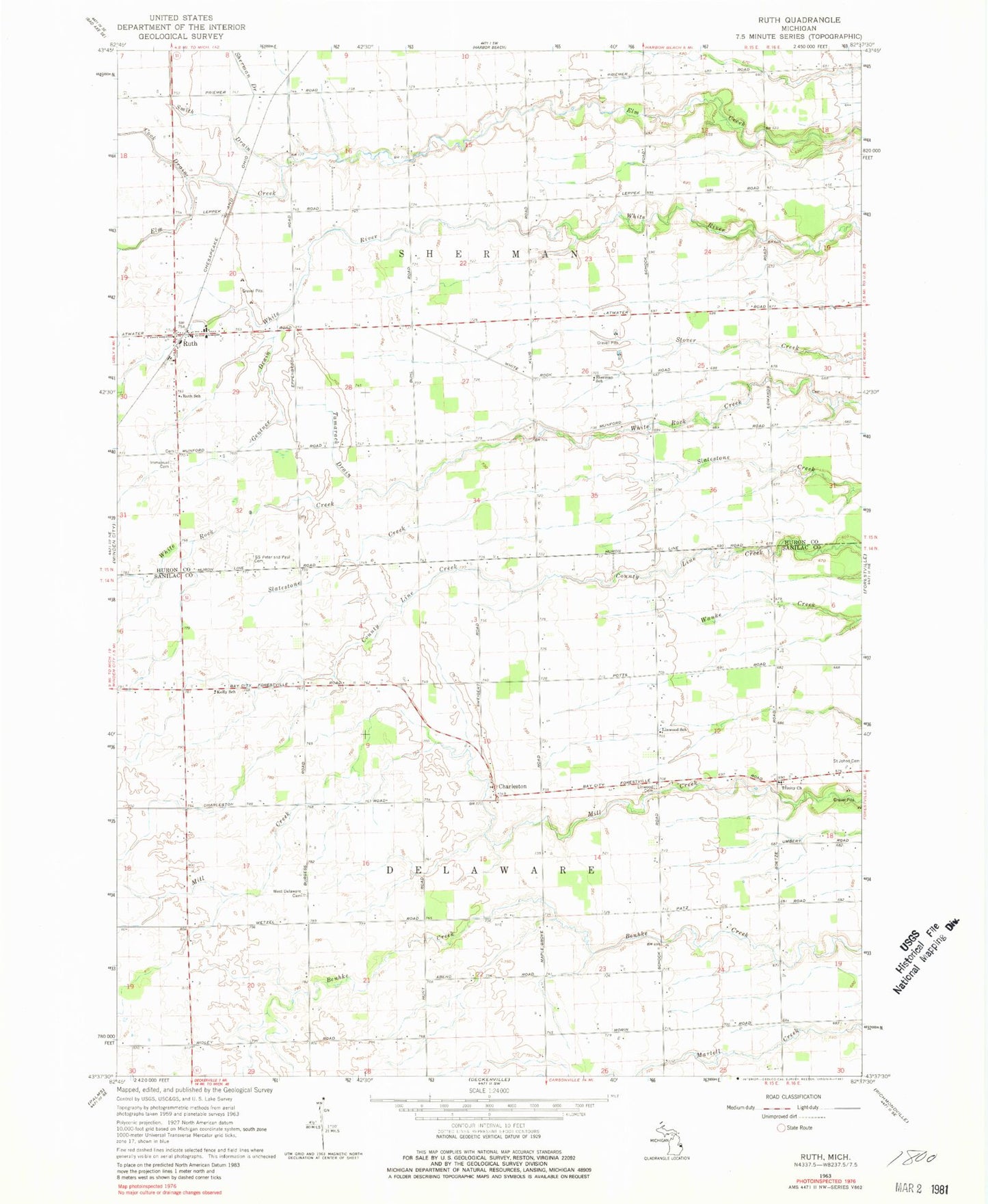
Classic USGS Ruth Michigan 7.5'x7.5' Topo Map
Couldn't load pickup availability
Historical USGS topographic quad map of Ruth in the state of Michigan. Map scale may vary for some years, but is generally around 1:24,000. Print size is approximately 24" x 27"
This quadrangle is in the following counties: Huron, Sanilac.
The map contains contour lines, roads, rivers, towns, and lakes. Printed on high-quality waterproof paper with UV fade-resistant inks, and shipped rolled.
Contains the following named places: Charleston, Charleston Post Office, Delaware Township Fire Department, Gentner Drain, Immanuel Cemetery, Jim Morgan Field, Kelly School, Linwood Cemetery, Linwood School, Ruth, Ruth Post Office, Ruth School, Ruth Station, Saint Peter and Paul Church, Saints Peter and Paul Cemetery, Schenkel Field, Sherman School, Sherman Township Fire Department, Tamarack Drain, Township of Delaware, Township of Sherman, Trinity Church, Trinity Lutheran Cemetery, Vogel Estates Cemetery, West Delaware Cemetery