MyTopo
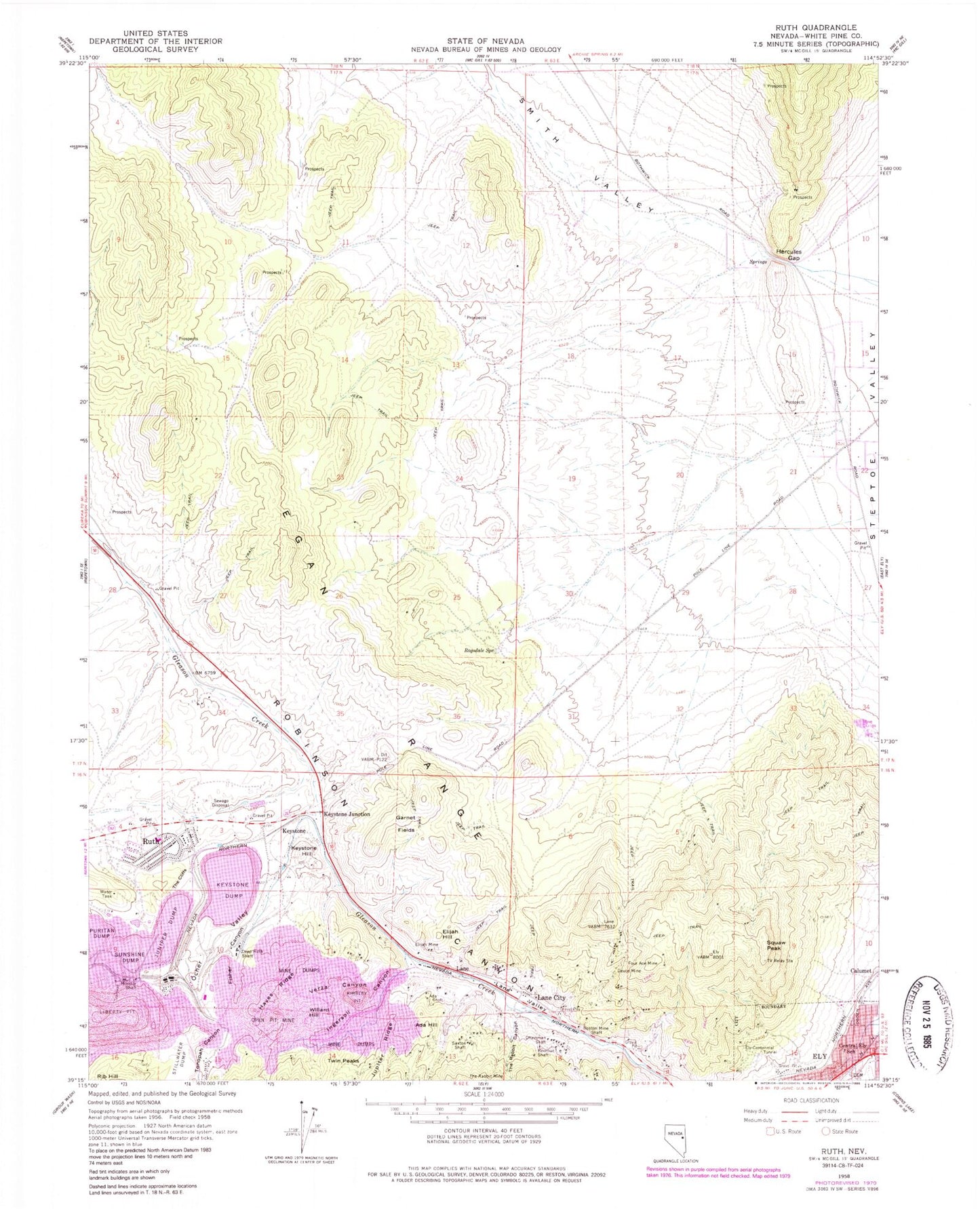
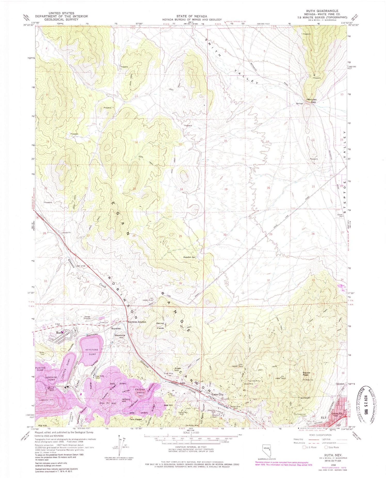
Classic USGS Ruth Nevada 7.5'x7.5' Topo Map
Couldn't load pickup availability
Historical USGS topographic quad map of Ruth in the state of Nevada. Map scale may vary for some years, but is generally around 1:24,000. Print size is approximately 24" x 27"
This quadrangle is in the following counties: White Pine.
The map contains contour lines, roads, rivers, towns, and lakes. Printed on high-quality waterproof paper with UV fade-resistant inks, and shipped rolled.
Contains the following named places: Ada Hill, Ada Shaft, Aultman Mine, Bolo Spring, Boston Mine Shaft, Brilliant Shaft, Calumet, Central Ely School, Chainman Shaft, Clipper Shaft, Columbia Shaft, Copper Flat, Deep Ruth Shaft, Deuce Mine, Elijah Hill, Elijah Mine, Ely City Cemetery, Ely-Centennial Tunnel, Eureka Shaft, Fisher Canyon, Four Ace Mine, Garnet Fields, Garnet Fields Rockhound Area, Garnet Hill, Garnet Hill Mine, Hayes Ridge, Hayes Shaft, Hercules Gap, Hercules Mining District, Ingersol Canyon, Isaacs Mine, Juniper Dump, Juniper Shaft, Jupiter Ridge, KELY-FM (Ely), Keystone, Keystone Dump, Keystone Hill, Keystone Junction, Keystone Mine, Kimbley Pit, Lane, Lane City, Lane Post Office, Lane Valley, Liberty Pit, Mineral City, Monitor Shaft, Monroe Mine, New Ruth Elementary School, Ocher Valley, Puritan Dump, Ragsdale Spring, Revenue Shaft, Robinson Mining District, Robust Mill, Ruth, Ruth Census Designated Place, Ruth Post Office, Ruth School, Ruth Shaft, Ruth Volunteer Fire Department, Saxton Shaft, Smith Valley, Squaw Peak, Star Pointer Shaft, Stillwater Dump, Sunshine Camp, Sunshine Dump, The Cliffs, The Rabbit Canyon, The Rabbit Mine, Twin Peaks, Verza Canyon, Watson Spring, Wedge Pit, Willard Hill, Willard Mine, Witch Shaft, ZIP Code: 89319


