MyTopo
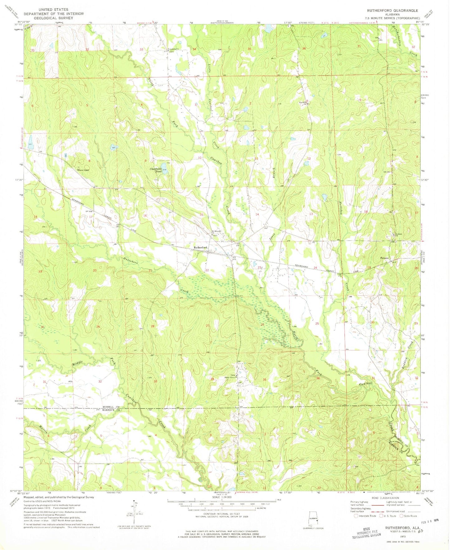
Classic USGS Rutherford Alabama 7.5'x7.5' Topo Map
Couldn't load pickup availability
Historical USGS topographic quad map of Rutherford in the state of Alabama. Map scale may vary for some years, but is generally around 1:24,000. Print size is approximately 24" x 27"
This quadrangle is in the following counties: Barbour, Russell.
The map contains contour lines, roads, rivers, towns, and lakes. Printed on high-quality waterproof paper with UV fade-resistant inks, and shipped rolled.
Contains the following named places: Antioch Church, Chatfields Pond, Chatfields Pond Dam, Collins Branch, Friendship Church, Halliday Creek, Hatchechubbee Volunteer Fire Department Station 2, Hurts Chapel, Hurtsboro Creek, Jones Branch, Little Cowikee Creek, Martin Creek, Mount Missouri Church, Persons, Roddick Creek, Rutherford, Shady Grove Church, Shreves Mill, Zion Hill Church