MyTopo
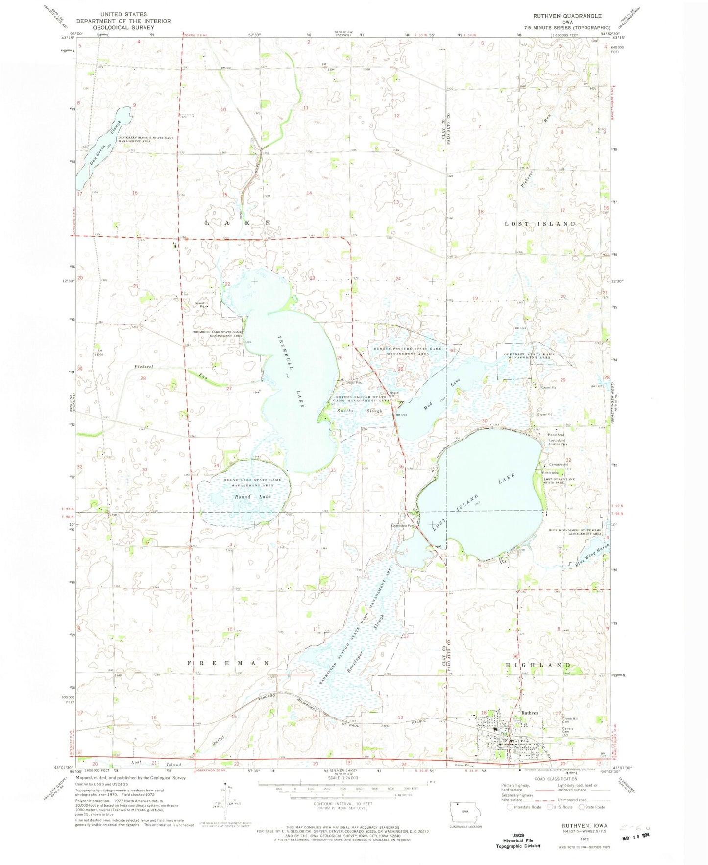
Classic USGS Ruthven Iowa 7.5'x7.5' Topo Map
Couldn't load pickup availability
Historical USGS topographic quad map of Ruthven in the state of Iowa. Map scale may vary for some years, but is generally around 1:24,000. Print size is approximately 24" x 27"
This quadrangle is in the following counties: Clay, Palo Alto.
The map contains contour lines, roads, rivers, towns, and lakes. Printed on high-quality waterproof paper with UV fade-resistant inks, and shipped rolled.
Contains the following named places: Barringer Slough, Barringer Slough State Game Mgt Area, Bridgewater, Bridgewater Post Office, Calvary Cemetery, City of Ruthven, Clark Farm, Clay County Waterfowl Production Area of Iowa, Crown Hill Cemetery, Dan Green Slough Wildlife Management Area, Deweys Pasture State Game Management Area, Eldridge Farms, Farmer Co-op Elevator, Grandview Park, Long Island Marsh Public Hunting Area, Lost Island Golf Club, Lost Island Huston Park, Lost Island Lake, Lost Island Lake State Park, Lost Island Post Office, Lost Island Prairie Wetland Nature Center, Mud Lake, Oppedahl State Game Management Area, Osher Farms, Palo Alto Community Ambulance Ruthven, Palo Alto County Waterfowl Production Area, Round Lake, Round Lake State Game Management Area, Ruthven, Ruthven - Ayrshire Community School, Ruthven City Hall, Ruthven Community Care Center, Ruthven Fire Department, Ruthven Post Office, Ruthven Public Library, Sacred Heart Catholic Church, Smiths Slough, Smiths Slough State Game Management Area, Swan and Swan Farms, Township of Freeman, Township of Lake, Trumbull Lake, Trumbull Lake State Game Management Area, United Methodist Church, Zion Lutheran Church, ZIP Codes: 51333, 51358


