MyTopo
Classic USGS Rutledge North Georgia 7.5'x7.5' Topo Map
Couldn't load pickup availability
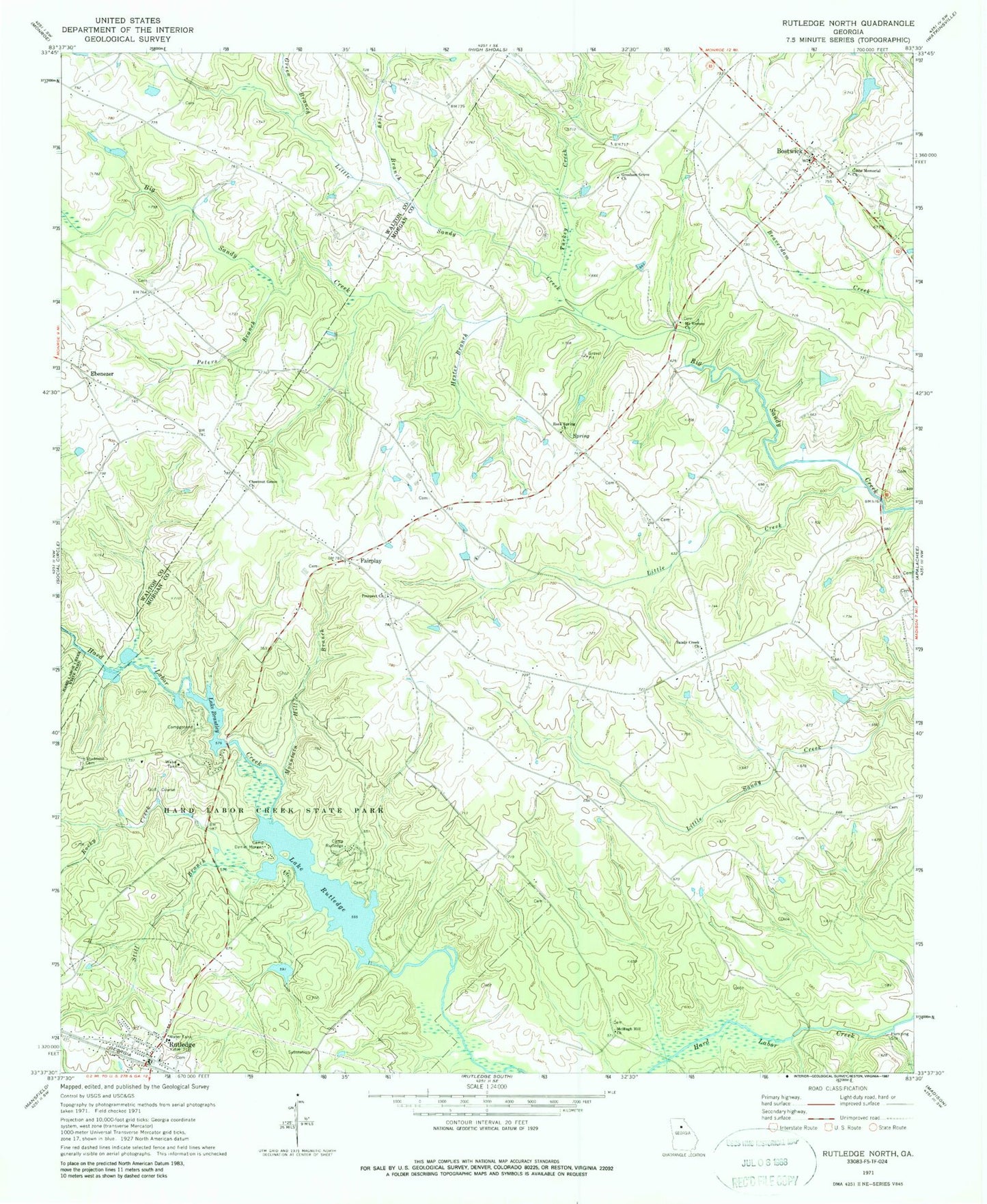
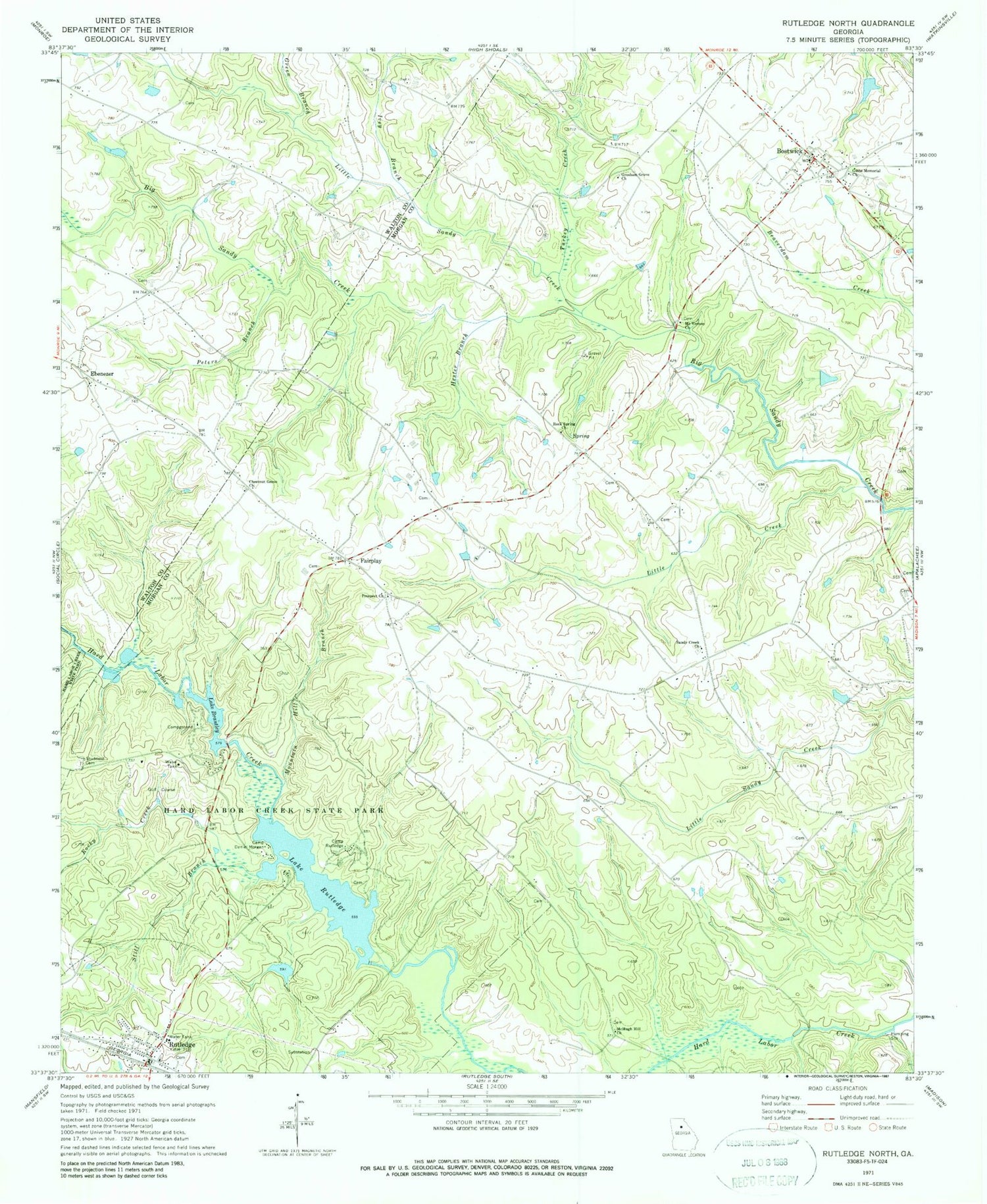
Historical USGS topographic quad map of Rutledge North in the state of Georgia. Map scale may vary for some years, but is generally around 1:24,000. Print size is approximately 24" x 27"
This quadrangle is in the following counties: Morgan, Walton.
The map contains contour lines, roads, rivers, towns, and lakes. Printed on high-quality waterproof paper with UV fade-resistant inks, and shipped rolled.
Contains the following named places: Adcock Dam, Adcock Lake, Bostwick, Bostwick Post Office, Callaway Dam, Callaway Lake, Camp Daniel Morgan, Camp Rutledge, Chestnut Grove Cemetery, Chestnut Grove Church, City of Bostwick, City of Rutledge, Ebenezer, Ebenezer Church, Fairplay, Fambro Bridge, Gibbs Memorial Church, Green Branch, Greenwood School, Gresham Grove Baptist Church, Gresham Grove Baptist Church Cemetery, Hard Labor Creek State Park, Hardmans Mill, Hester Branch, Ivey Branch, Klockner Airport, Lake Brantley, Lake Brantley Dam, Lake Rutledge, Lake Rutledge Dam, Little Creek, Little Sandy Creek, Malcolms Store, Mallory School, McHugh Hill Church, McHughs Mill, Mooney Dam, Mooney Lake, Morgan County Fire Rescue Department Station 3, Morgan County Fire Rescue Department Station 6, Morgan County Fire Rescue Department Station 9, Mount Vernon Baptist Church, Mount Vernon Baptist Church Cemetery, Mountain Hill Branch, Peters Branch, Prospect Church, Rock Spring Church, Rocky Creek, Ruthledge Police Department, Rutledge, Rutledge Post Office, Sandy Creek, Sandy Creek Church, Still Branch, Studdard Cemetery, Sweet Home Baptist Church, Taylor Field, Thomas and Knight Cemetery, Turkey Creek, Whitlock Cemetery, ZIP Code: 30623


