MyTopo
Classic USGS Ryan Creek Montana 7.5'x7.5' Topo Map
Regular price
$16.95
Regular price
Sale price
$16.95
Unit price
per
Couldn't load pickup availability
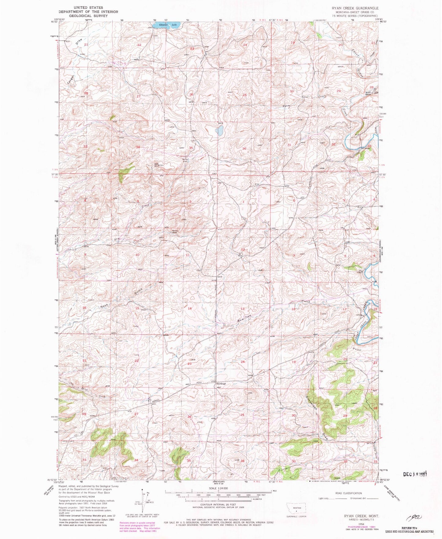
Historical USGS topographic quad map of Ryan Creek in the state of Montana. Map scale may vary for some years, but is generally around 1:24,000. Print size is approximately 24" x 27"
This quadrangle is in the following counties: Sweet Grass.
The map contains contour lines, roads, rivers, towns, and lakes. Printed on high-quality waterproof paper with UV fade-resistant inks, and shipped rolled.
Contains the following named places: 02N15E23A___01 Well, 02N15E23BACC01 Well, 02N15E27____01 Well, 03N15E21____01 Well, 03N15E27DBBD01 Well, Carson Creek, First Creek Reservoir, Gunnerson Draw, Hamilton Creek, Holzhey Dam, Ryan Creek, Sourdough, Sourdough Creek, Walvoord Lake Dam