
MyTopo
Classic USGS Ryan Peak Idaho 7.5'x7.5' Topo Map
Regular price
$16.95
Regular price
Sale price
$16.95
Unit price
per
Couldn't load pickup availability
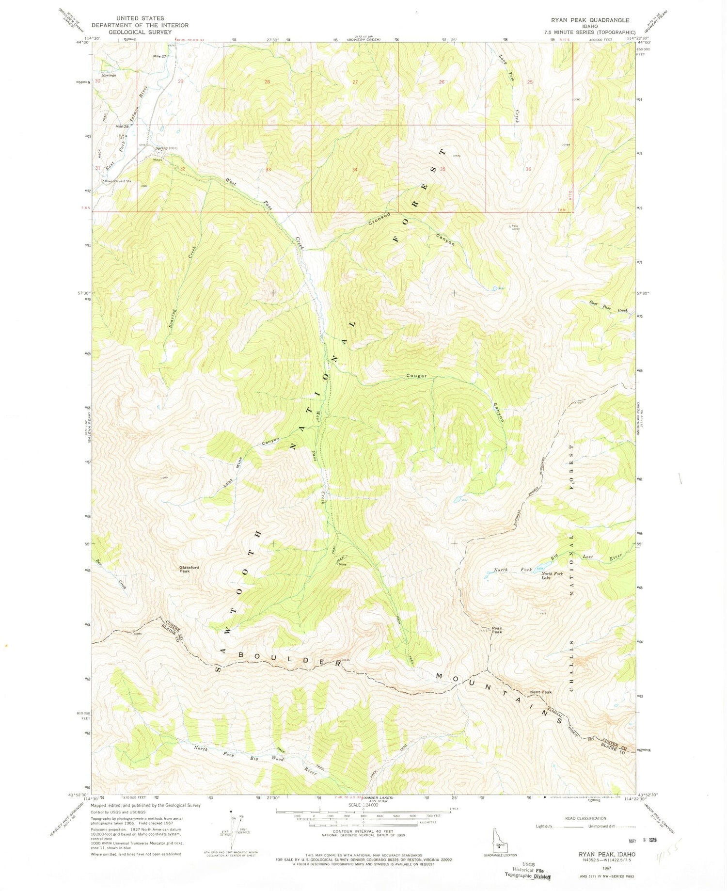
Historical USGS topographic quad map of Ryan Peak in the state of Idaho. Map scale may vary for some years, but is generally around 1:24,000. Print size is approximately 24" x 27"
This quadrangle is in the following counties: Blaine, Custer.
The map contains contour lines, roads, rivers, towns, and lakes. Printed on high-quality waterproof paper with UV fade-resistant inks, and shipped rolled.
Contains the following named places: Boulder Mountains, Bowery Guard Station, Cougar Canyon, Crooked Canyon, Glassford Peak, Hemingway-Boulders Wilderness, Kent Peak, Lost Mine Canyon, North Fork Lake, Roaring Creek, Ryan Peak, Sawtooth National Forest Trailhead, West Pass Creek


