MyTopo
Classic USGS Ryan California 7.5'x7.5' Topo Map
Regular price
$16.95
Regular price
Sale price
$16.95
Unit price
per
Couldn't load pickup availability
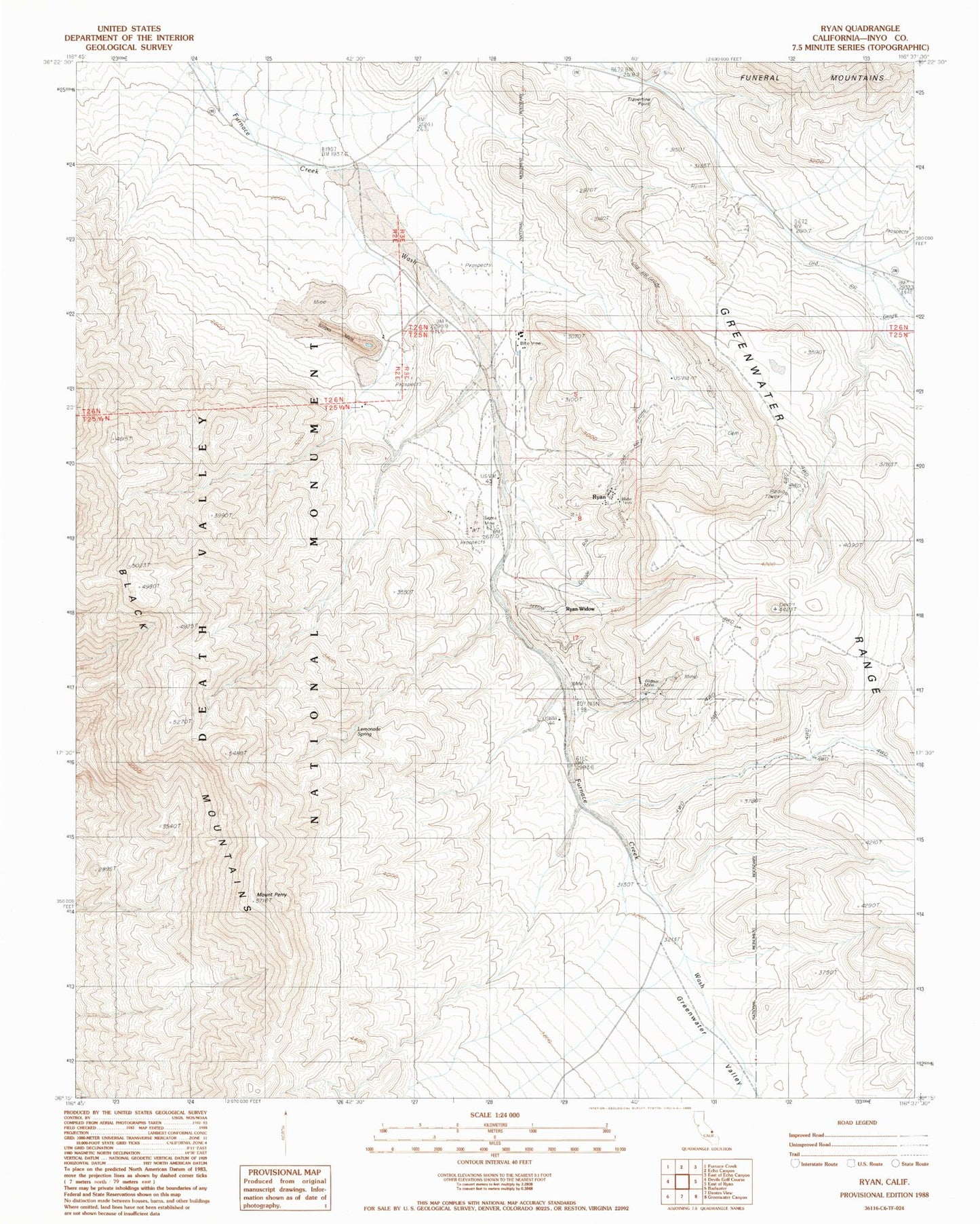
Historical USGS topographic quad map of Ryan in the state of California. Map scale may vary for some years, but is generally around 1:24,000. Print size is approximately 24" x 27"
This quadrangle is in the following counties: Inyo.
The map contains contour lines, roads, rivers, towns, and lakes. Printed on high-quality waterproof paper with UV fade-resistant inks, and shipped rolled.
Contains the following named places: Billie Mine, Boraxo Mine, Grand View Mine, Kern Borate Mine, Lemonade Spring, Lizzie V Oakley Borate Mine, Lower Biddy McCarthy Mine, Mount Perry, Played Out Mine, Ryan, Ryan Post Office, Ryan Widow, Sigma Mine, Travertine Point, Upper Biddy McCarthy Mine, Widow Mine, Widow Mine Number 3