MyTopo
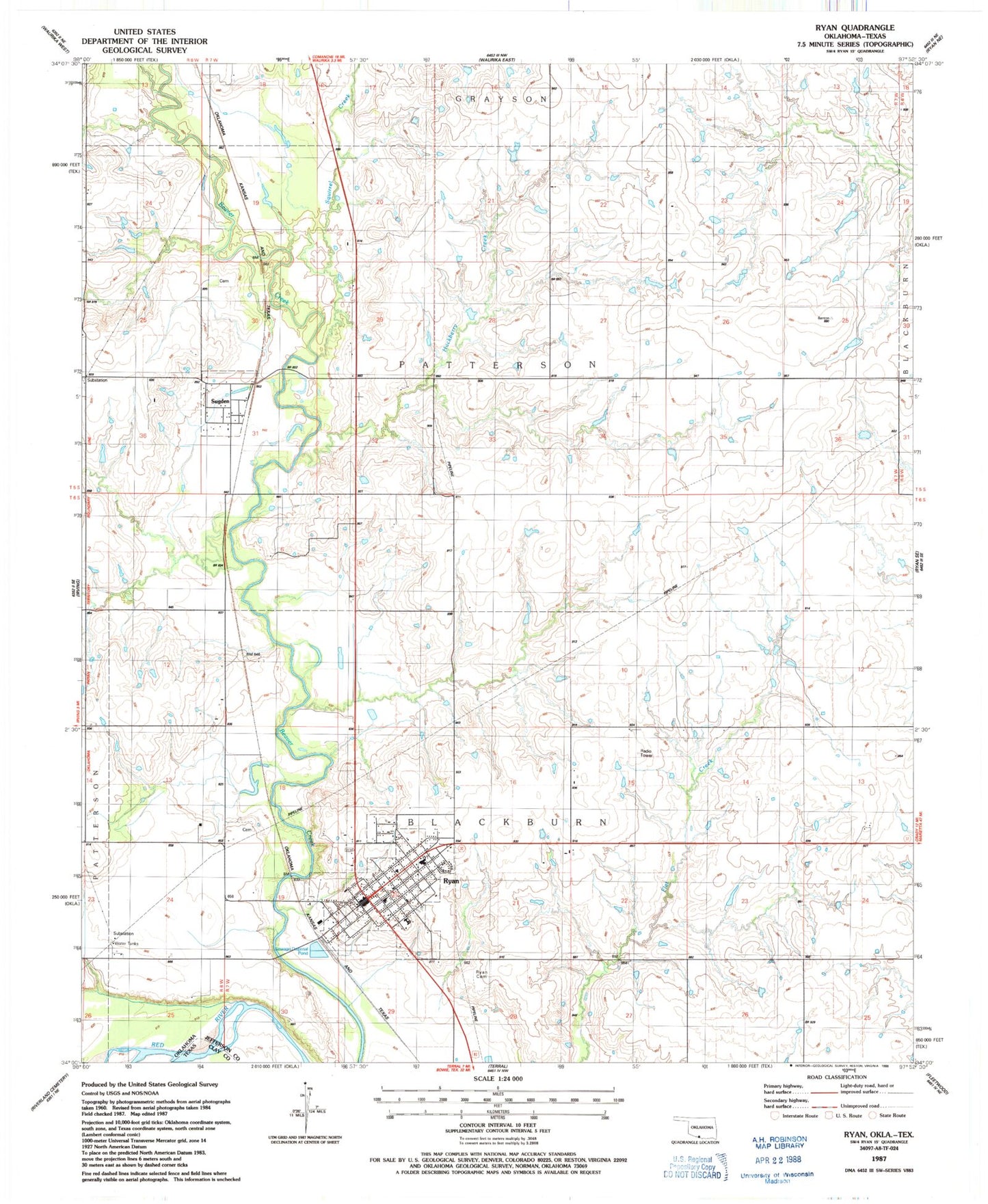
Classic USGS Ryan Oklahoma 7.5'x7.5' Topo Map
Couldn't load pickup availability
Historical USGS topographic quad map of Ryan in the state of Oklahoma. Map scale may vary for some years, but is generally around 1:24,000. Print size is approximately 24" x 27"
This quadrangle is in the following counties: Clay, Jefferson.
The map contains contour lines, roads, rivers, towns, and lakes. Printed on high-quality waterproof paper with UV fade-resistant inks, and shipped rolled.
Contains the following named places: Hackberry Creek, Ryan, Ryan Cemetery, Ryan Elementary School, Ryan Fire Department, Ryan High School, Ryan Police Department, Ryan Post Office, Squirrel Creek, Sugden, Sugden Cemetery, Sugden Volunteer Fire Department, Town of Ryan, Town of Sugden, Township of Blackburn, ZIP Code: 73565