MyTopo
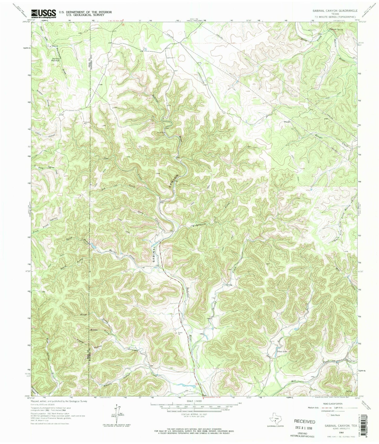
Classic USGS Sabinal Canyon Texas 7.5'x7.5' Topo Map
Couldn't load pickup availability
Historical USGS topographic quad map of Sabinal Canyon in the state of Texas. Typical map scale is 1:24,000, but may vary for certain years, if available. Print size: 24" x 27"
This quadrangle is in the following counties: Bandera, Real.
The map contains contour lines, roads, rivers, towns, and lakes. Printed on high-quality waterproof paper with UV fade-resistant inks, and shipped rolled.
Contains the following named places: Jim Jernigan Hollow, Brushy Creek, Can Creek, Dry Can Creek, Evans Creek, Fiddler Hollow, Flatrock Spring, Marler Creek, Massey Hollow, Middle Prong Jerigan Creek, North Prong Jernigan Creek, North Prong Marler Creek, Pelaez Lake, Post Oak Waterhole, Sabinal Canyon, Snow Creek, South Prong Marler Creek, Wedgeworth Creek, Willow Springs Branch, Pelaez Lake Dam, Lost Maples State Natural Area, Lost Maples State Natural Area Trails