MyTopo
Classic USGS Sac City West Iowa 7.5'x7.5' Topo Map
Couldn't load pickup availability
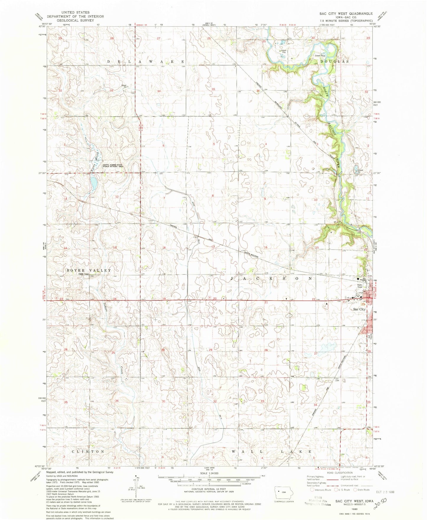
Historical USGS topographic quad map of Sac City West in the state of Iowa. Map scale may vary for some years, but is generally around 1:24,000. Print size is approximately 24" x 27"
This quadrangle is in the following counties: Sac.
The map contains contour lines, roads, rivers, towns, and lakes. Printed on high-quality waterproof paper with UV fade-resistant inks, and shipped rolled.
Contains the following named places: Church of Christ, Drainage Ditch 71, East Sac County Elementary School - Sac City, Indian Lake, Kiowa Marsh, Kiowa Marsh State Public Hunting Area, KSRG-FM (Sac City), Lubeck Woods Area, McDonald Greenbelt, Sac County, Sac County Waterfowl Production Area, Township of Jackson, Whitetail Woods Wildlife Area