MyTopo
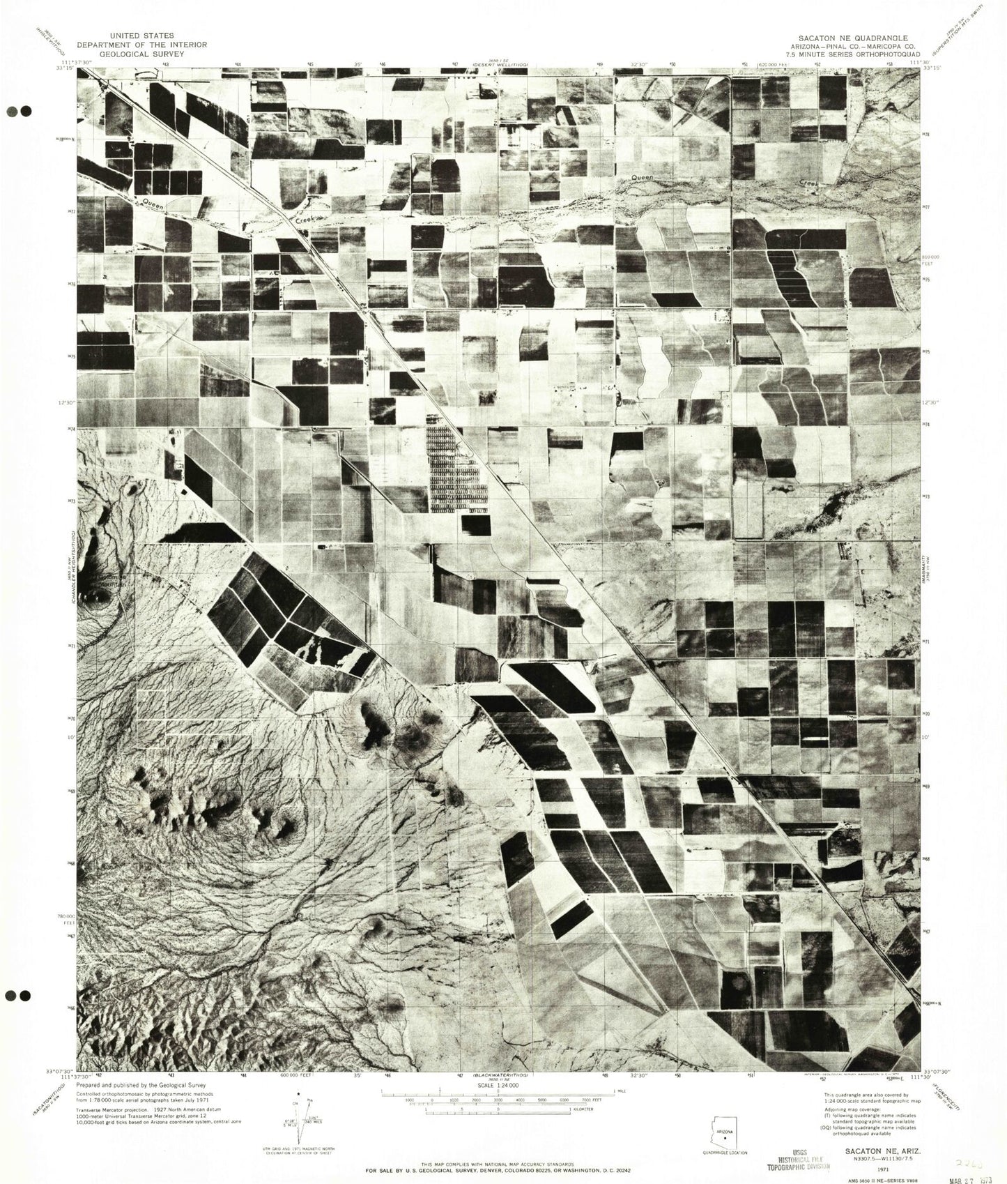
Classic USGS Sacaton NE Arizona 7.5'x7.5' Topo Map
Couldn't load pickup availability
Historical USGS topographic quad map of Sacaton NE in the state of Arizona. Map scale may vary for some years, but is generally around 1:24,000. Print size is approximately 24" x 27"
This quadrangle is in the following counties: Maricopa, Pinal.
The map contains contour lines, roads, rivers, towns, and lakes. Printed on high-quality waterproof paper with UV fade-resistant inks, and shipped rolled.
Contains the following named places: Banner Ironwood Medical Center, Bellavista Farms, Central Arizona College San Tan Center, Circle Cross Ranch K - 8 School, Combs Traditional Academy, Copper Basin K - 8 School, Ellsworth Elementary School, Frances Brandon - Pickett Elementary School, Inverness Industrial Park, J O Combs Middle School, Jack W Harmon Elementary School, Kathryn Sue Simonton Elementary School, Las Colinas Golf Club, Links Estates Mobile Home Park, Mountain Vista Academy, Pegasus Airpark, Pinal County Sheriff's Office Combs Region A, Queen Creek High School, Queen Creek Siding, Ray Schnepf Ranch Airport, Rural / Metro Fire Department Station 841, Rural / Metro Fire Department Station 842, Rural / Metro Fire Department Station 843, San Tan Foothills High School, San Tan Heights Elementary School, San Tan Valley, San Tan Valley Census Designated Place, Skyline Ranch K - 8 School, The Church of Jesus Christ of Latter Day Saints, The Golf Club at Johnson Ranch, The Links Golf Club, Town of Queen Creek, Walker Butte K - 8 School, ZIP Codes: 85140, 85143


