MyTopo
Classic USGS Sackets Harbor New York 7.5'x7.5' Topo Map
Couldn't load pickup availability
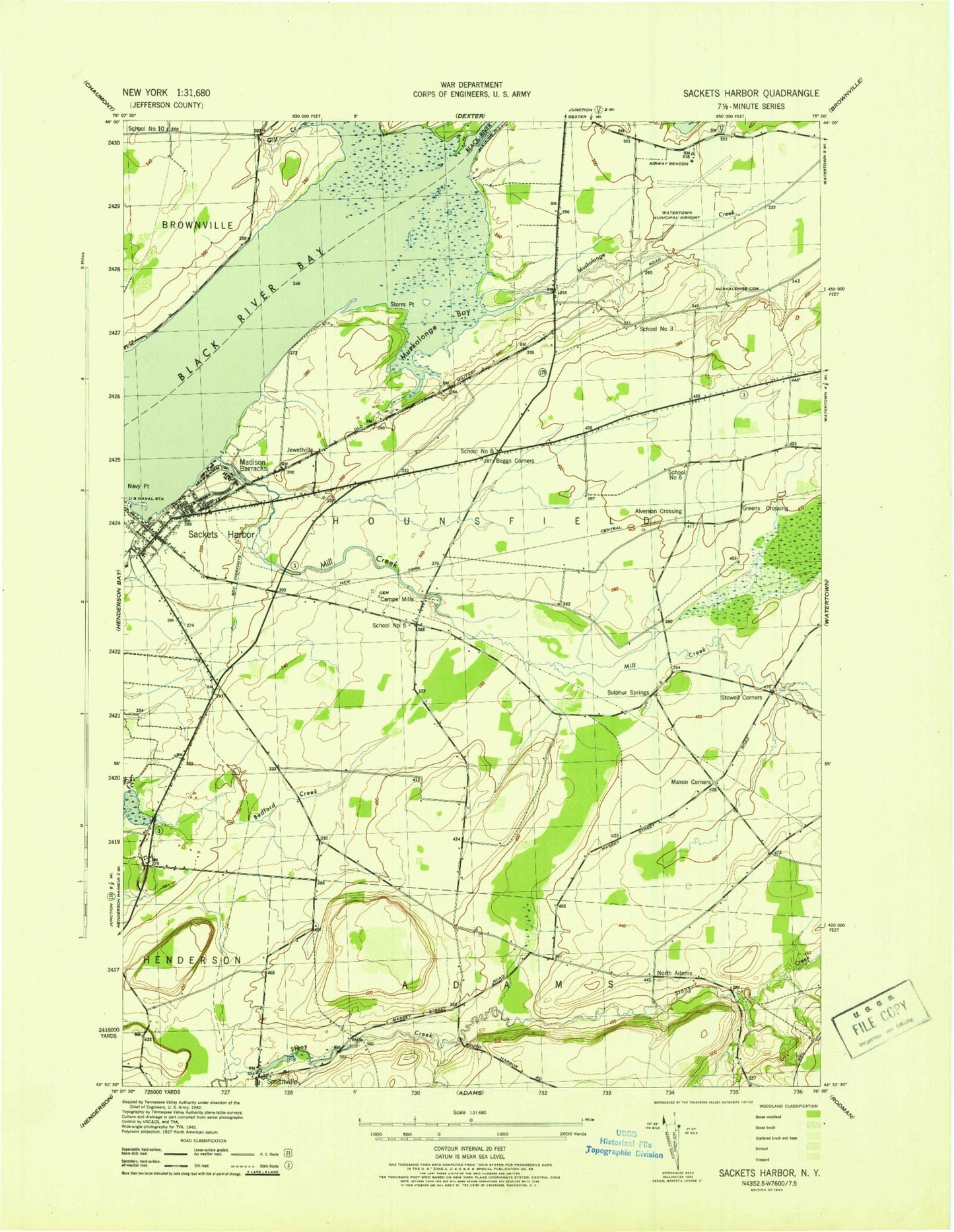
Historical USGS topographic quad map of Sackets Harbor in the state of New York. Map scale may vary for some years, but is generally around 1:24,000. Print size is approximately 24" x 27"
This quadrangle is in the following counties: Jefferson.
The map contains contour lines, roads, rivers, towns, and lakes. Printed on high-quality waterproof paper with UV fade-resistant inks, and shipped rolled.
Contains the following named places: Allens Marina, Allens Marina Campground, Alverson, Baggs Corner, Bedford Creek Campground, Bedford Creek Golf Course, Black River, Black River Bay, Black River Channel, Camps Mills, Christ Episcopal Church, Gill Creek, Greens Crossing, Grunerts Marina, Hay Memorial Library, Jefferson County, Jewettville, Liberty Yacht Basin, Madison Barracks, Madison Park, Market Square Park, Maxon Corners, Military Cemetery, Mill Creek, Muskalonge Cemetery, Muskellunge Bay, Muskellunge Creek, Navy Point, Navy Point Marine, North Adams, North Adams Cemetery, Perch River, Reed Haven Farms, Rustic Golf and Country Club, Sackets Harbor, Sackets Harbor Central School, Sackets Harbor Light, Sackets Harbor Post Office, Sackets Harbor Town Dock, Sackets Harbor Volunteer Fire Company Sackets Harbor Station 1, Sackets Harbor Volunteer Fire Company Sulphur Springs Station 2, Saint Andrews Catholic Church, Sanford Corners, School Number 10, School Number 3, School Number 5, School Number 6, School Number 8, Smithville, Smithville Volunteer Fire Department, Storrs Point, Stowell Corners, Sulphur Springs, United Presbyterian Church, Valley Stock Farm, Village of Sackets Harbor, Watertown International Airport, Watertown International Airport Fire Department, Watertown Seventh Day Adventist Church, Westcott Beach State Park, ZIP Code: 13685


