MyTopo
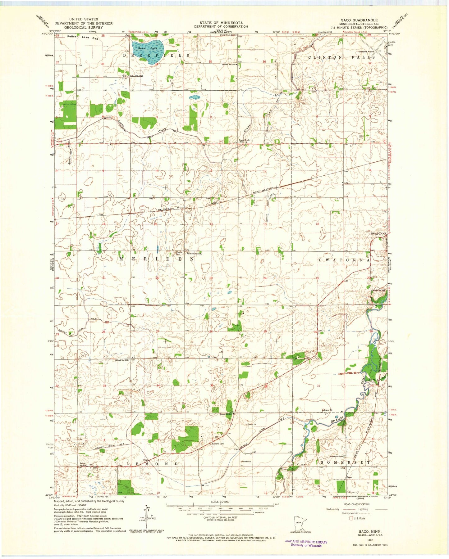
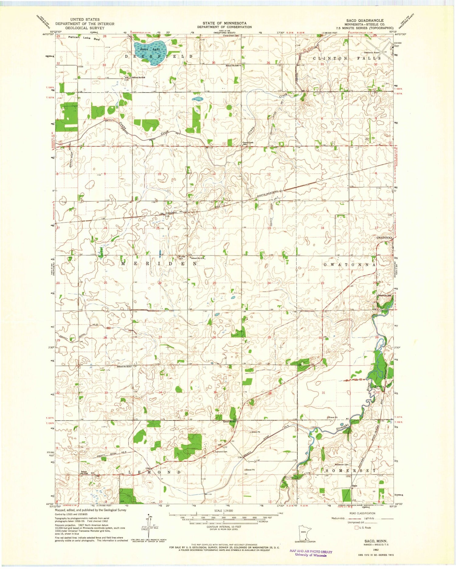
Classic USGS Saco Minnesota 7.5'x7.5' Topo Map
Couldn't load pickup availability
Historical USGS topographic quad map of Saco in the state of Minnesota. Map scale may vary for some years, but is generally around 1:24,000. Print size is approximately 24" x 27"
This quadrangle is in the following counties: Steele.
The map contains contour lines, roads, rivers, towns, and lakes. Printed on high-quality waterproof paper with UV fade-resistant inks, and shipped rolled.
Contains the following named places: Agri Helicopter Incorporated Heliport, Bohemian Cemetery, Colonial Manor Mobile Home Park, Cornerstone Evangelical Free Church, County Ditch Number Five, County Ditch Number Seven, County Ditch Number Twenty, County Ditch Number Twentyone, Crane Creek School, Judicial Ditch Number One, Lemond Cemetery, Lincoln Cemetery, Mueller Cemetery, Owatonna Clinic, Owatonna College and University Center, Owatonna Degner Regional Airport, Owatonna Hospital, River View Campground, Saco, School Number 2093, School Number 2111, School Number 2113, School Number 2116, School Number 2123, School Number 2130, School Number 2148, Somerset State Wildlife Management Area, Steele County Detention Center, Swan Lake, Swan Lake State Wildlife Management Area, Township of Meriden, Turtle Creek


