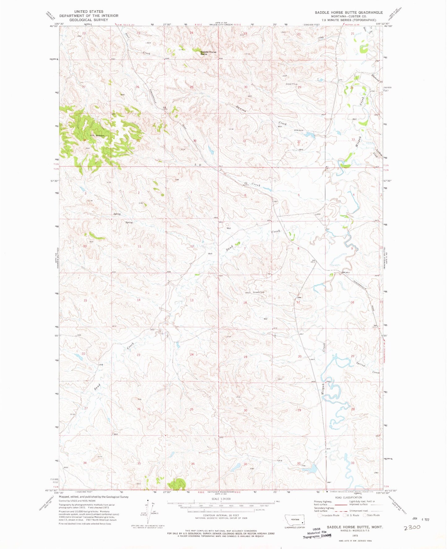
MyTopo
Classic USGS Saddle Horse Butte Montana 7.5'x7.5' Topo Map
Regular price
$16.95
Regular price
Sale price
$16.95
Unit price
per
Couldn't load pickup availability
Historical USGS topographic quad map of Saddle Horse Butte in the state of Montana. Map scale may vary for some years, but is generally around 1:24,000. Print size is approximately 24" x 27"
This quadrangle is in the following counties: Custer.
The map contains contour lines, roads, rivers, towns, and lakes. Printed on high-quality waterproof paper with UV fade-resistant inks, and shipped rolled.
Contains the following named places: 02N51E04CCCC01 Well, 02N51E18DDBA01 Well, 03N51E32CCCD01 Well, 03S51E18DABB01 Well, Dama Post Office, Dawson Creek, Elmhurst Creek, Fox Dam, Fox Number 1 Dam, Holts, L O Creek, Lindsey Creek, M Hardy Number 3 Dam, Saddle Horse Butte, Sand Creek, Spring Creek